MyTopo
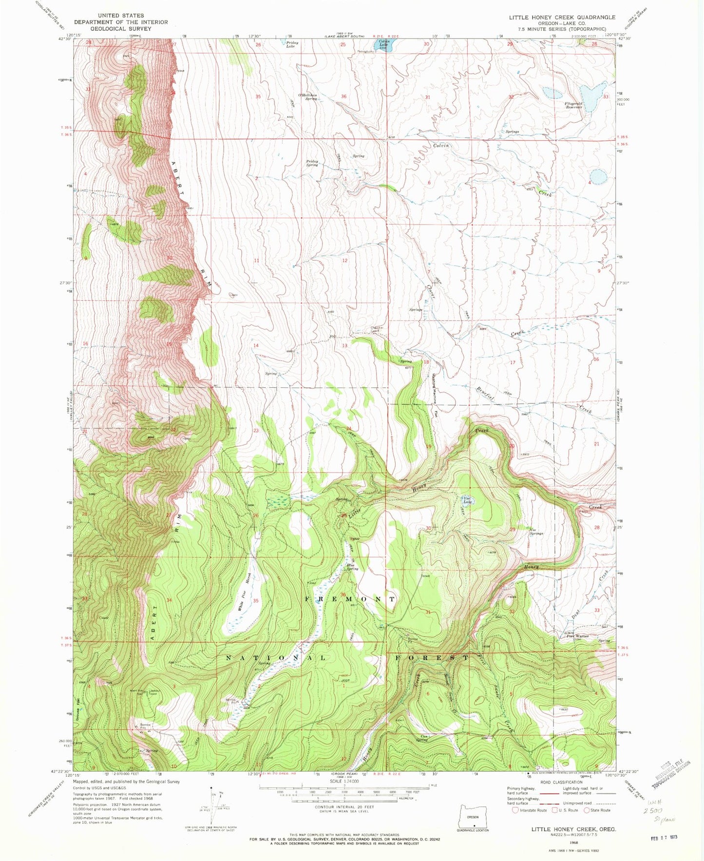
Classic USGS Little Honey Creek Oregon 7.5'x7.5' Topo Map
Couldn't load pickup availability
Historical USGS topographic quad map of Little Honey Creek in the state of Oregon. Map scale may vary for some years, but is generally around 1:24,000. Print size is approximately 24" x 27"
This quadrangle is in the following counties: Lake.
The map contains contour lines, roads, rivers, towns, and lakes. Printed on high-quality waterproof paper with UV fade-resistant inks, and shipped rolled.
Contains the following named places: Abert Rim Viewpoint, Abert Spring, Blue Spring, Camp Warner, Can Spring, Can Spring Recreation Site, Chandler Cabin, First Swale Creek, Fish Creek Waterhole Number Forty-four, Fitzgerald Dam, Fitzgerald Reservoir, Grouse Flat, Little Honey Creek, O'Hallihan Spring, Pine Spring, Priday Lake, Priday Spring, Second Swale Creek, Swale Trailhead, Vee Lake, Vee Lake Boat Access, Vee Lake Trailhead, Vee Springs, Washing Machine Flat, White Pine Marsh