MyTopo
Classic USGS Little Horn Peak Arizona 7.5'x7.5' Topo Map
Couldn't load pickup availability
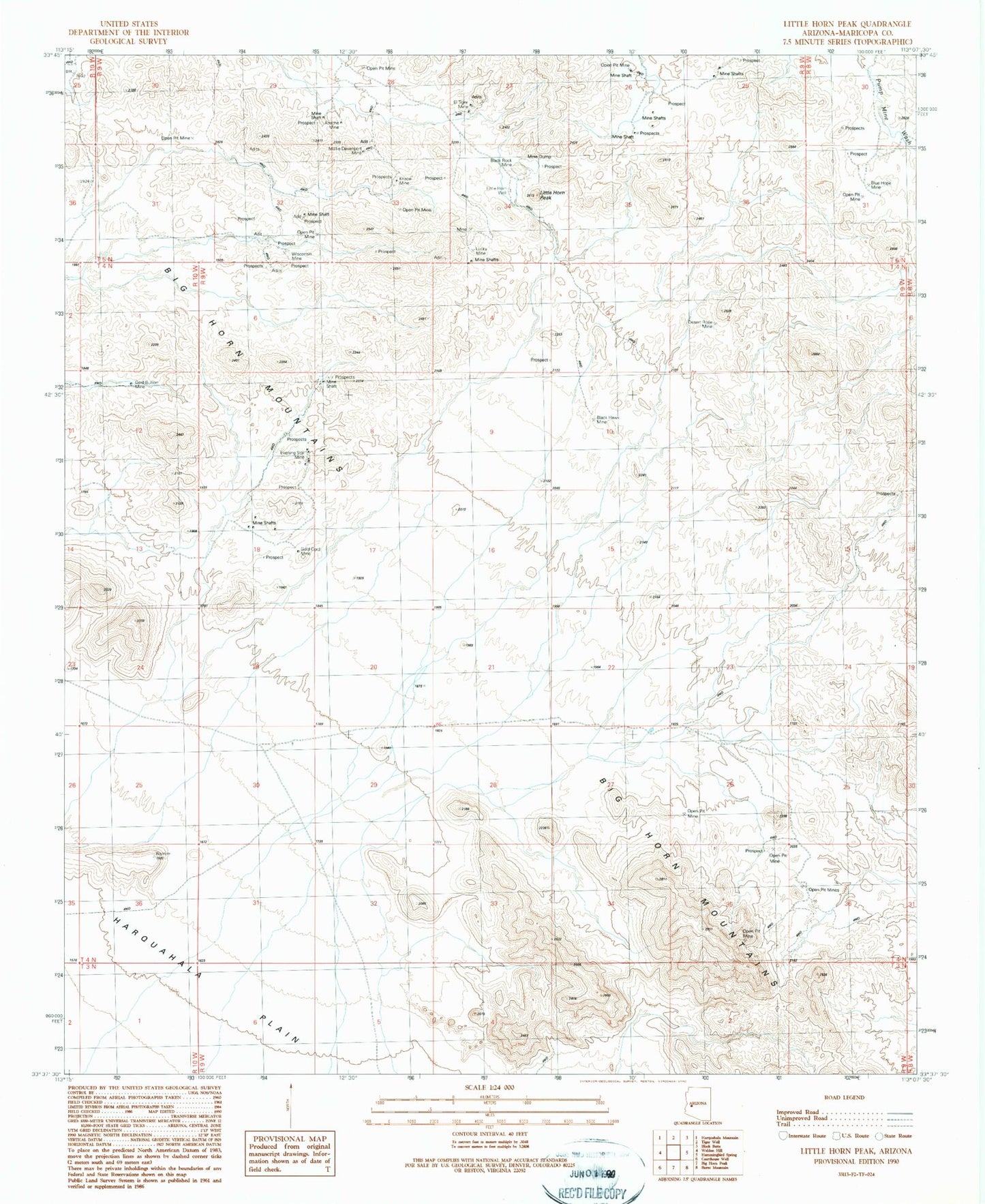
Historical USGS topographic quad map of Little Horn Peak in the state of Arizona. Map scale may vary for some years, but is generally around 1:24,000. Print size is approximately 24" x 27"
This quadrangle is in the following counties: Maricopa.
The map contains contour lines, roads, rivers, towns, and lakes. Printed on high-quality waterproof paper with UV fade-resistant inks, and shipped rolled.
Contains the following named places: Apache Mine, Barrons Cabin, Big Horn Mountains, Black Hawk Mine, Black Queen Mine, Black Rock Mine, Blue Hope Mine, Desert Rose Mine, El Tigre Mine, Evening Star Mine, Gold Bullion Mine, Gold Cord Mine, Knabe Mine, Little Big Horn Well, Little Bighorn Peak, Little Horn Peak, Little Horn Well, Lucky Mine, Mollie Davenport Mine, Wisconsin Mine