MyTopo
Classic USGS Little Mountain South Carolina 7.5'x7.5' Topo Map
Couldn't load pickup availability
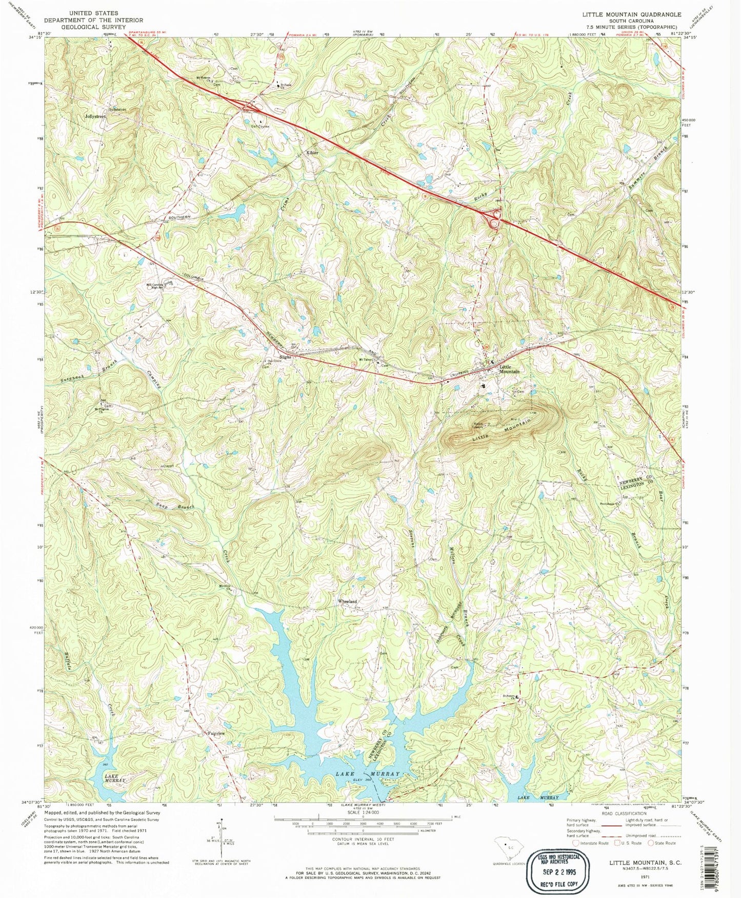
Historical USGS topographic quad map of Little Mountain in the state of South Carolina. Map scale may vary for some years, but is generally around 1:24,000. Print size is approximately 24" x 27"
This quadrangle is in the following counties: Lexington, Newberry.
The map contains contour lines, roads, rivers, towns, and lakes. Printed on high-quality waterproof paper with UV fade-resistant inks, and shipped rolled.
Contains the following named places: Boland Crossroads, Caughman School, Eptings Pond, Eptings Pond D-1477 Dam, Fairview, Fairview Fire Department, Fairview High School, Holy Trinity Cemetery, Holy Trinity Evangelical Lutheran Church, Jollystreet, Kibler, Lexington County Fire Service Amicks Ferry Station 22, Little Mountain, Little Mountain Elementary School, Little Mountain Fire Department, Little Mountain School, Mayer Creek, Mid Carolina High School, Mid-Carolina Junior High School, Millers Branch, Mount Hebron Cemetery, Mount Hebron Church, Mount Hebron School, Mount Olive School, Mount Olivet Cemetery, Mount Olivet Lutheran Church, Mount Pilgrim Cemetery, Mount Pilgrim Lutheran Church, Mount Tabor Cemetery, Mount Tabor Lutheran Church, Mount Zion Cemetery, Mount Zion Church, Mount Zion School, Oak Grove Cemetery, Oak Grove Church, Oak Grove School, Piney Woods School, Prosperity Division, Providence Church, Providence School, Rocky Branch, Saint Pauls Cemetery, Saint Pauls Lutheran Church, Saint Peters Church, Slighs, Snap Branch, Stevens Creek, Summers Branch, Susannah Branch, Town of Little Mountain, Wheeland