MyTopo
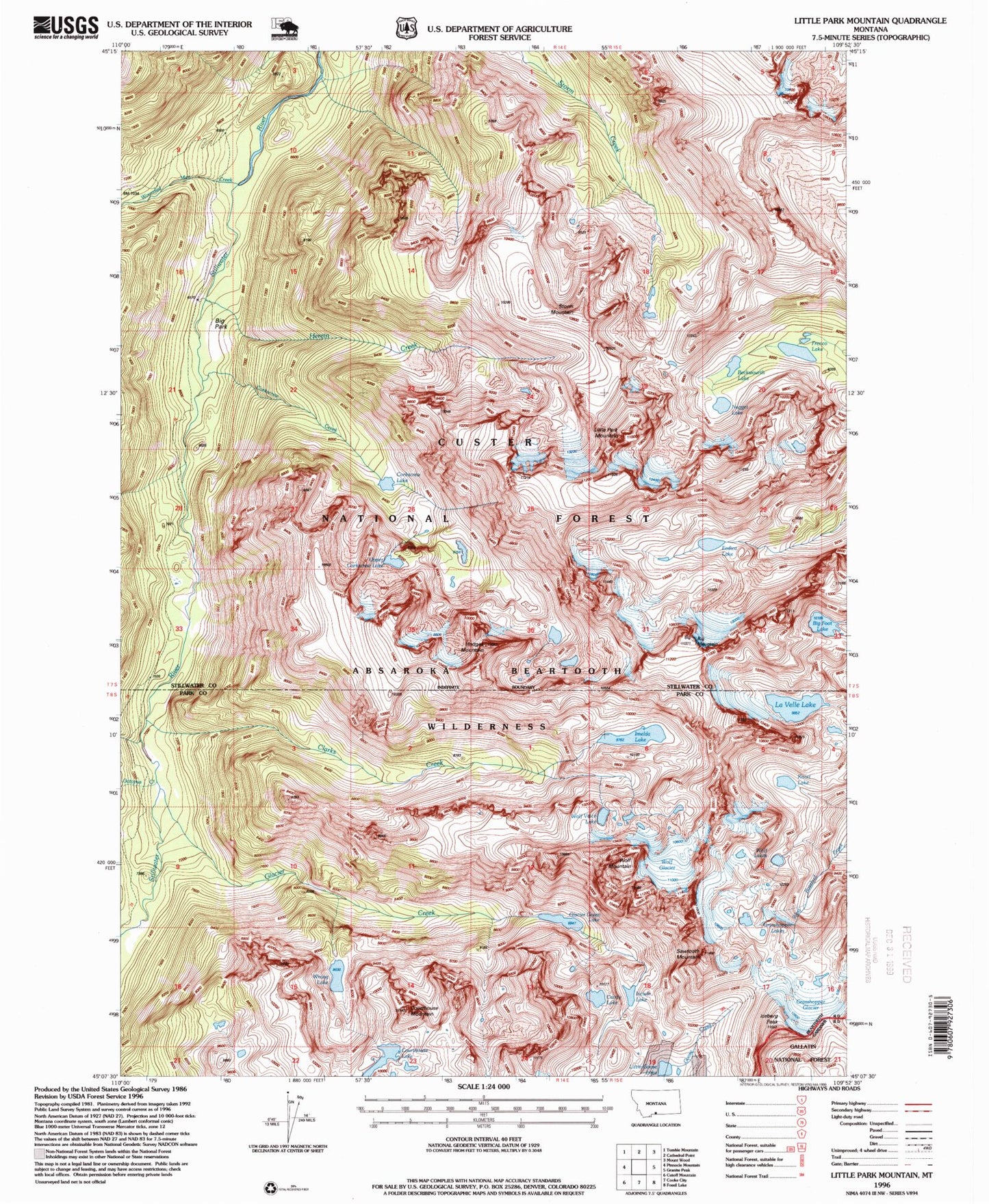
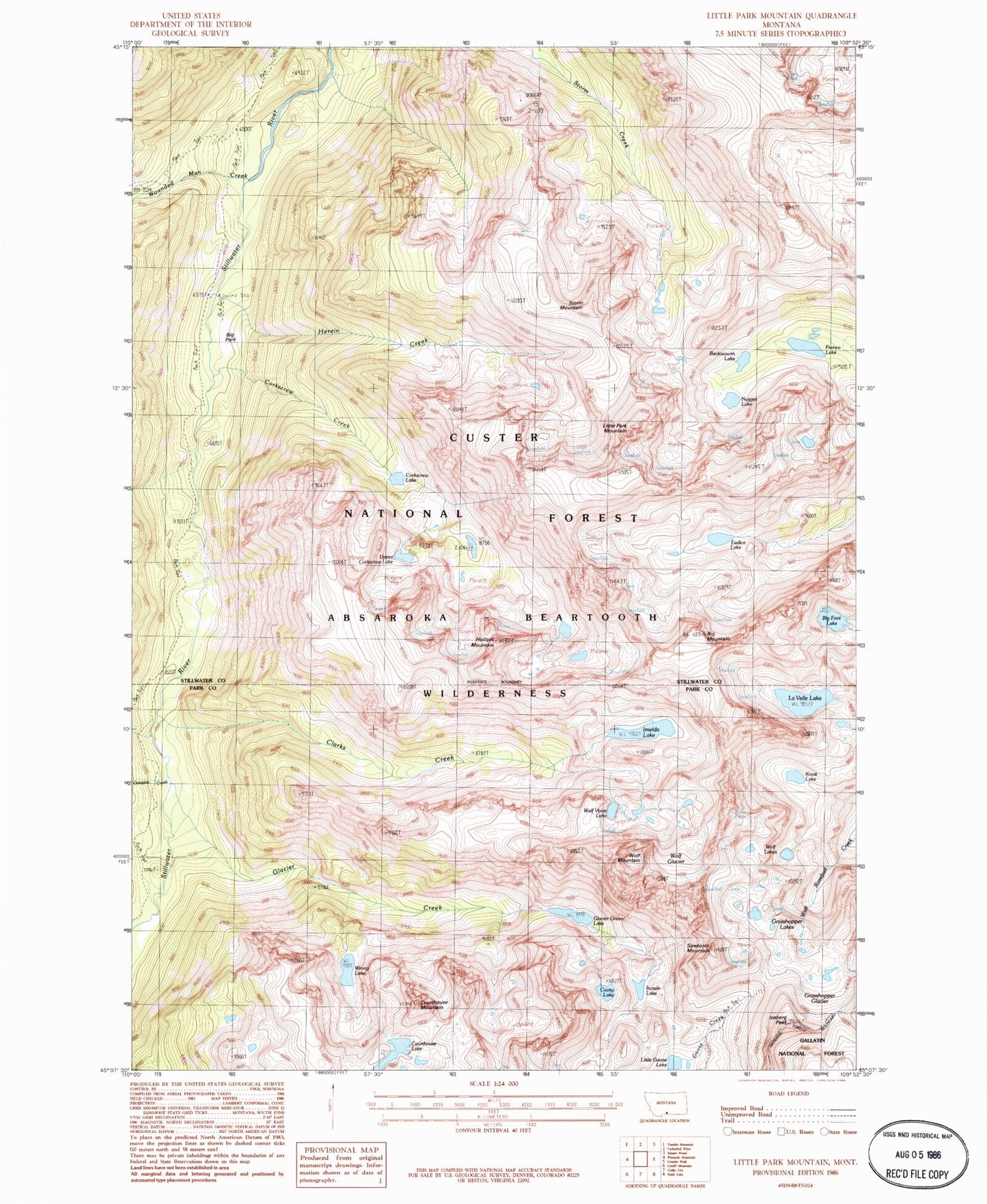
Classic USGS Little Park Mountain Montana 7.5'x7.5' Topo Map
Couldn't load pickup availability
Historical USGS topographic quad map of Little Park Mountain in the state of Montana. Typical map scale is 1:24,000, but may vary for certain years, if available. Print size: 24" x 27"
This quadrangle is in the following counties: Park, Stillwater.
The map contains contour lines, roads, rivers, towns, and lakes. Printed on high-quality waterproof paper with UV fade-resistant inks, and shipped rolled.
Contains the following named places: Big Mountain, Big Park Guard Station, Clarks Creek, Corkscrew Creek, Courthouse Mountain, Glacier Creek, Grasshopper Glacier, Herein Creek, Hodges Mountain, Horseshoe Creek, Iceberg Peak, Little Goose Lake, Little Park Mountain, Octopus Creek, Sawtooth Mountain, Storm Mountain, Wolf Mountain, Wounded Man Creek, Courthouse Lake, Incisor Lake, Cavity Lake, Wrong Lake, Grasshopper Lakes, Glacier Green Lake, Wolf Lakes, Wolf Glacier, Wolf Voice Lake, Knott Lake, La Velle Lake, Imelda Lake, Big Foot Lake, Eedica Lake, Upper Corkscrew Lake, Corkscrew Lake, Nugget Lake, Frenco Lake, Beckwourth Lake, Big Park


