MyTopo
Classic USGS Little Pilgrim Butte Montana 7.5'x7.5' Topo Map
Regular price
$16.95
Regular price
Sale price
$16.95
Unit price
per
Couldn't load pickup availability
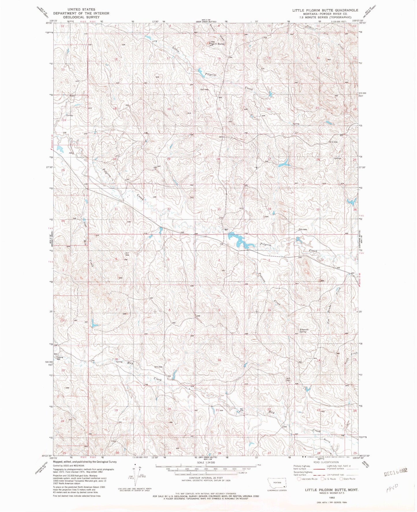
Historical USGS topographic quad map of Little Pilgrim Butte in the state of Montana. Map scale may vary for some years, but is generally around 1:24,000. Print size is approximately 24" x 27"
This quadrangle is in the following counties: Powder River.
The map contains contour lines, roads, rivers, towns, and lakes. Printed on high-quality waterproof paper with UV fade-resistant inks, and shipped rolled.
Contains the following named places: 04S52E13DDA_01 Well, 04S53E10DAD_01 Well, 04S53E14AA__01 Well, 04S53E33CCB_01 Well, 04S53E33DCC_01 Well, Edwards Spring, Harry Creek, Little Pilgrim Butte, Papoose Creek, Sage Hen Creek