MyTopo
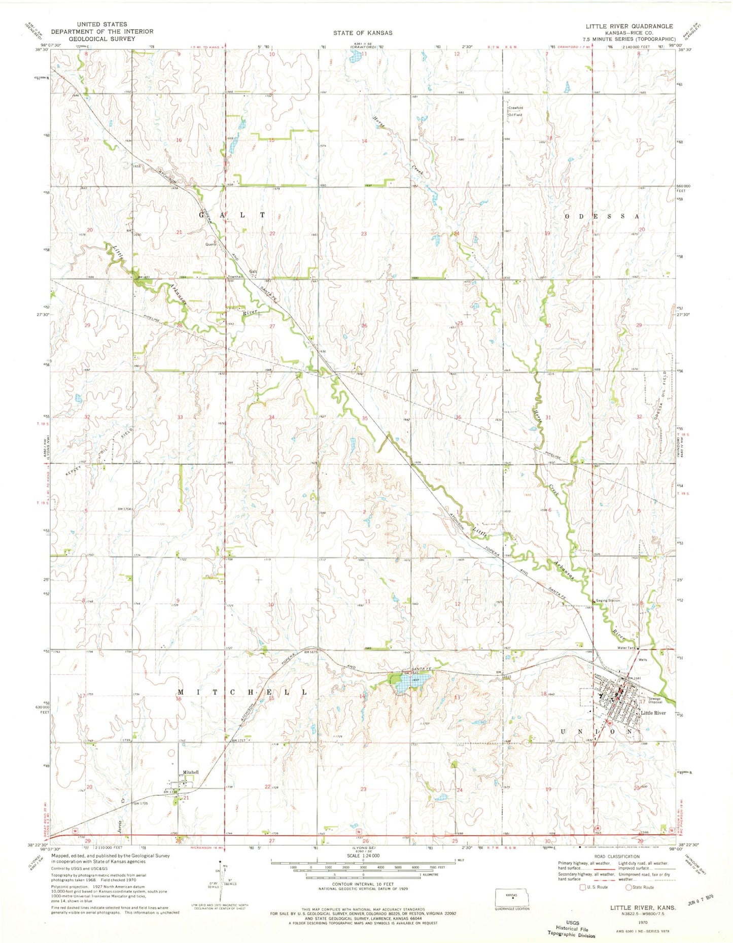
Classic USGS Little River Kansas 7.5'x7.5' Topo Map
Couldn't load pickup availability
Historical USGS topographic quad map of Little River in the state of Kansas. Map scale may vary for some years, but is generally around 1:24,000. Print size is approximately 24" x 27"
This quadrangle is in the following counties: Rice.
The map contains contour lines, roads, rivers, towns, and lakes. Printed on high-quality waterproof paper with UV fade-resistant inks, and shipped rolled.
Contains the following named places: City of Little River, Crawford Oil Field, Galt, Holy Trinity Catholic Church, Horse Creek, Little River, Little River City Hall, Little River Community Library, Little River Congregational Church, Little River Dam, Little River Elementary School, Little River Fire Department, Little River Junior / Senior High School, Little River Middle School, Little River Police Department, Little River Post Office, Little River United Methodist Church, Mitchell, Odessa Oil Field, Spriggs Rock Lake, Township of Galt, Township of Mitchell