MyTopo
Classic USGS Little River Texas 7.5'x7.5' Topo Map
Couldn't load pickup availability
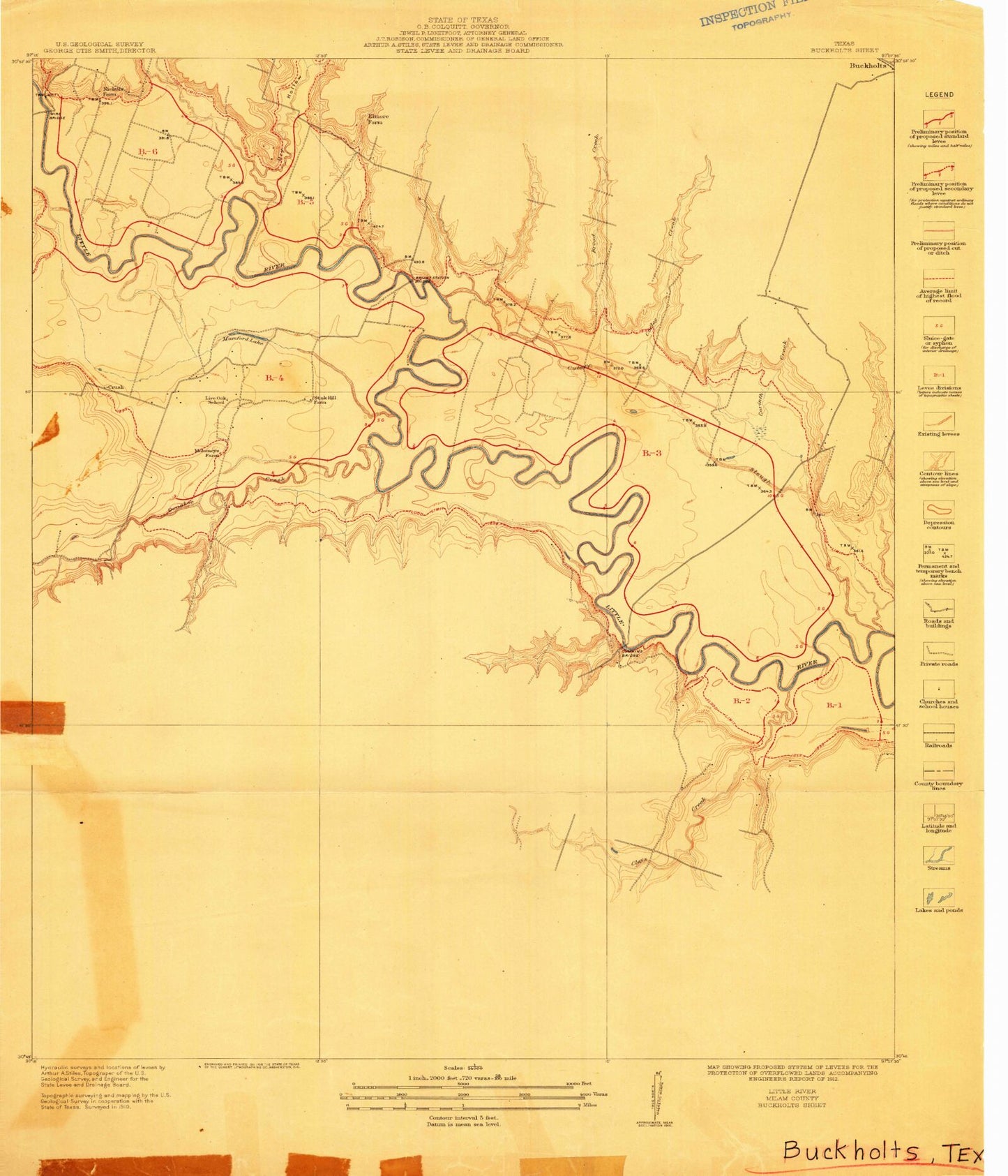
Historical USGS topographic quad map of Little River in the state of Texas. Map scale may vary for some years, but is generally around 1:24,000. Print size is approximately 24" x 27"
This quadrangle is in the following counties: Bell, Milam.
The map contains contour lines, roads, rivers, towns, and lakes. Printed on high-quality waterproof paper with UV fade-resistant inks, and shipped rolled.
Contains the following named places: Academy, Academy City Hall, Academy Elementary School, Academy High School, Academy Junior High School, Bell County Alternative School, Bell-Milam-Falls Water Tower, Boggy Creek, Cathey Creek, Central Texas Water Supply Water Tower, City of Little River-Academy, City of Little Water Tower, County Line Church, First Baptist Church, First Baptist Church of Academy, Georgia Branch, Joe Lee, Joe Lee School, John Glover Stadium, Knob Creek, Langham Lake Dam, Lansham Lake, Little River, Little River Academy Post Office, Little River Academy Volunteer Fire Department, Little River Cemetery, Little River Community Center, Little River Substation, Little River United Methodist Church, Little River-Academy, Margie Lou Branch, Prewitt Lake 2, Prewitt Lake 2 Dam, Prewitt Lake 5, Prewitt Lake 5 Dam, Reed Cemetery, Reeds Lake Cemetery, Rogers Division, Runnells Creek, Sparks, Sunshine Cemetery, Volo Cemetery, Willow Creek