MyTopo
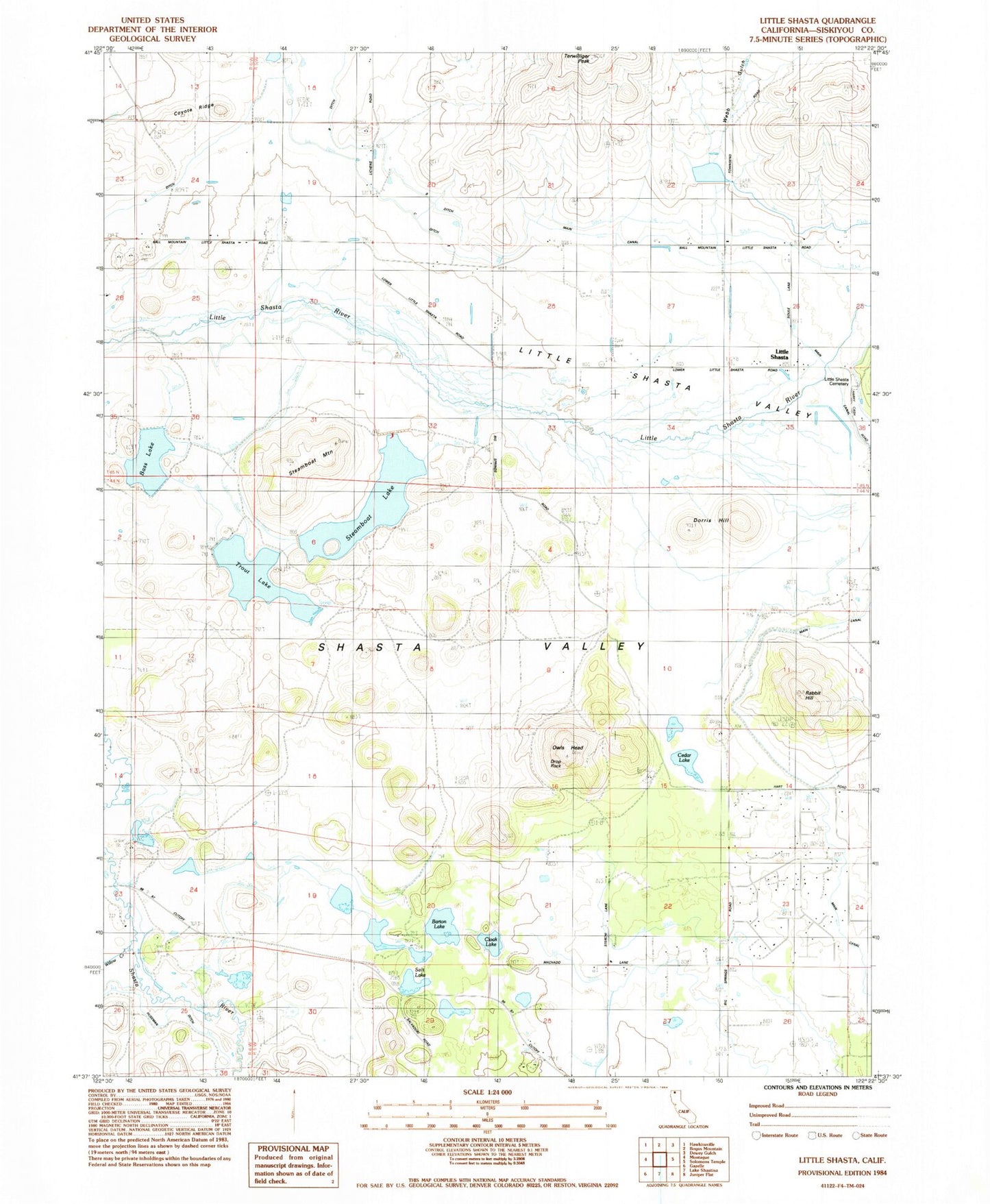
Classic USGS Little Shasta California 7.5'x7.5' Topo Map
Couldn't load pickup availability
Historical USGS topographic quad map of Little Shasta in the state of California. Map scale may vary for some years, but is generally around 1:24,000. Print size is approximately 24" x 27"
This quadrangle is in the following counties: Siskiyou.
The map contains contour lines, roads, rivers, towns, and lakes. Printed on high-quality waterproof paper with UV fade-resistant inks, and shipped rolled.
Contains the following named places: Alta Vista Ranch, Barton 1181-002 Dam, Barton Lake, Bass Lake, Brown Quarry, Cedar Lake, Cloak Lake, Cloak Lake 1181 Dam, Coyote Ridge, Dorris Hill, Drop Rock, Dunlap, Earl B Fiock 187 Dam, Earl B Fiock Number 2 2180 Dam, Earl B Fiock Number 3 2180-002 Dam, Haight, Hart Quarry, Lava Lakes Wildlife Sanctuary, Little Shasta, Little Shasta Cemetery, Little Shasta Elementary School, Monague Quarry, Owls Head, Rabbit Hill, Rohrer, Salt Lake, Shelley 1180 Dam, Steamboat Lake, Steamboat Mountain, Terwilliger Peak, Towniey, Trout Lake, Webb Gulch, Willow Creek