MyTopo
Classic USGS Little Shuteye Peak California 7.5'x7.5' Topo Map
Couldn't load pickup availability
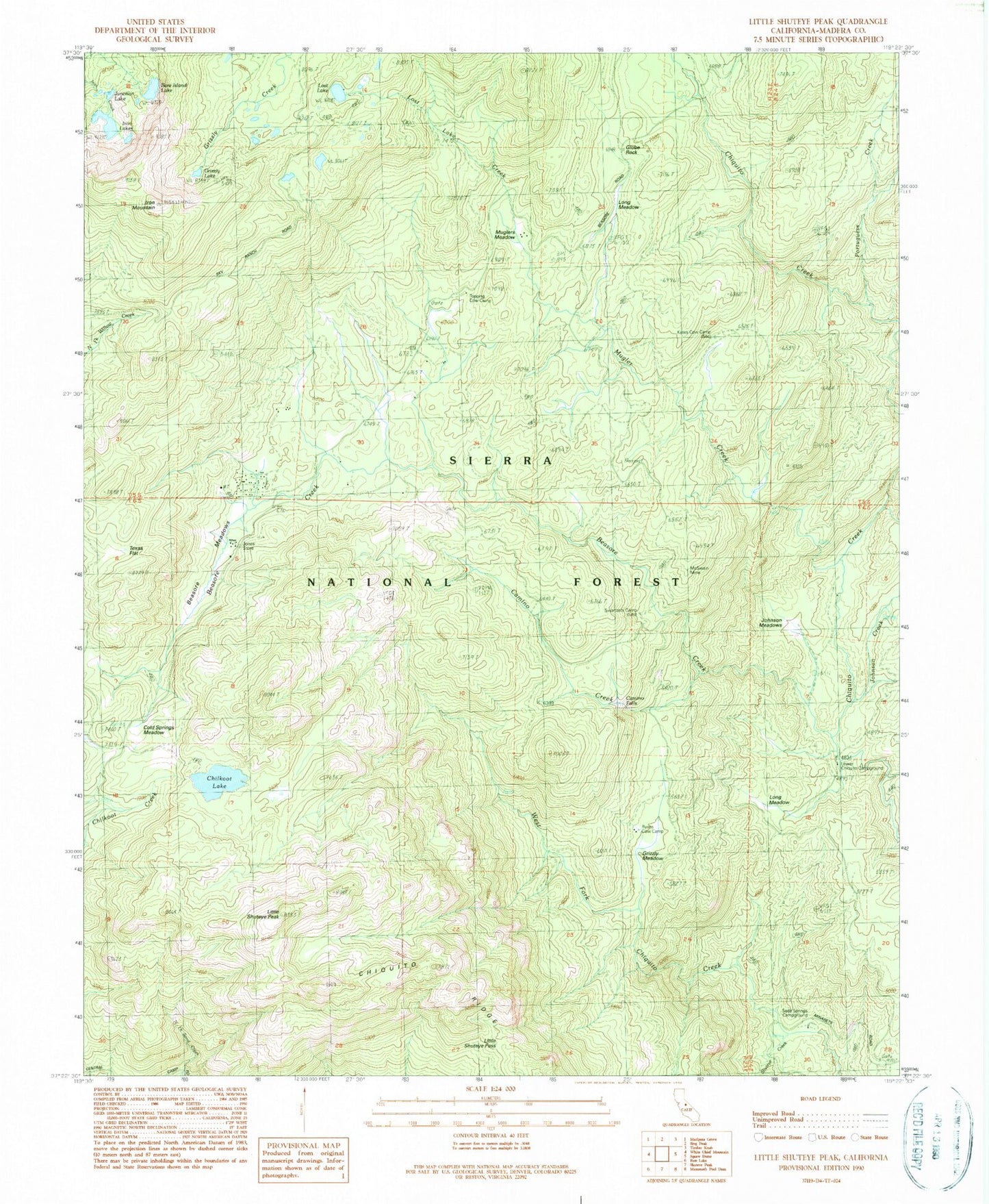
Historical USGS topographic quad map of Little Shuteye Peak in the state of California. Typical map scale is 1:24,000, but may vary for certain years, if available. Print size: 24" x 27"
This quadrangle is in the following counties: Madera.
The map contains contour lines, roads, rivers, towns, and lakes. Printed on high-quality waterproof paper with UV fade-resistant inks, and shipped rolled.
Contains the following named places: Bare Island Lake, Beasore Meadows, Buchenau Cabin, Future Farmers of America Camp, Grizzly Meadow, Iron Lakes, Iron Mountain, Johnson Meadows, Junction Lake, Kates Cow Camp, Little Shuteye Pass, Little Shuteye Peak, Lost Lake, McSwain Mine, Muglers Meadow, Soda Springs Campground, Camino Falls, Jones Store, Topping Cow Camp, Beasore Creek, Beasore Meadows Campground (historical), Blackmans Bar (historical), Camino Campground (historical), Camino Creek, Chilkoot Lake, Cold Springs Meadow, Globe Rock, Beasore Subdivision, Grizzly Lake, Long Meadow, Long Meadow, Lost Lake Creek, Lower Chiquito Campground, Mugler Creek, North McSwain Mine (historical), Ryans Upper Cow Camp (historical), Strasbaugh Mine (historical), Tex Flat (historical), Texas Flat, Johnson Creek, Portuguese Creek, Shuteye Creek, Ryans Cow Camp, Swortzets Camp, Oakhurst-North Fork Division, Oakhurst-North Fork Division


