MyTopo
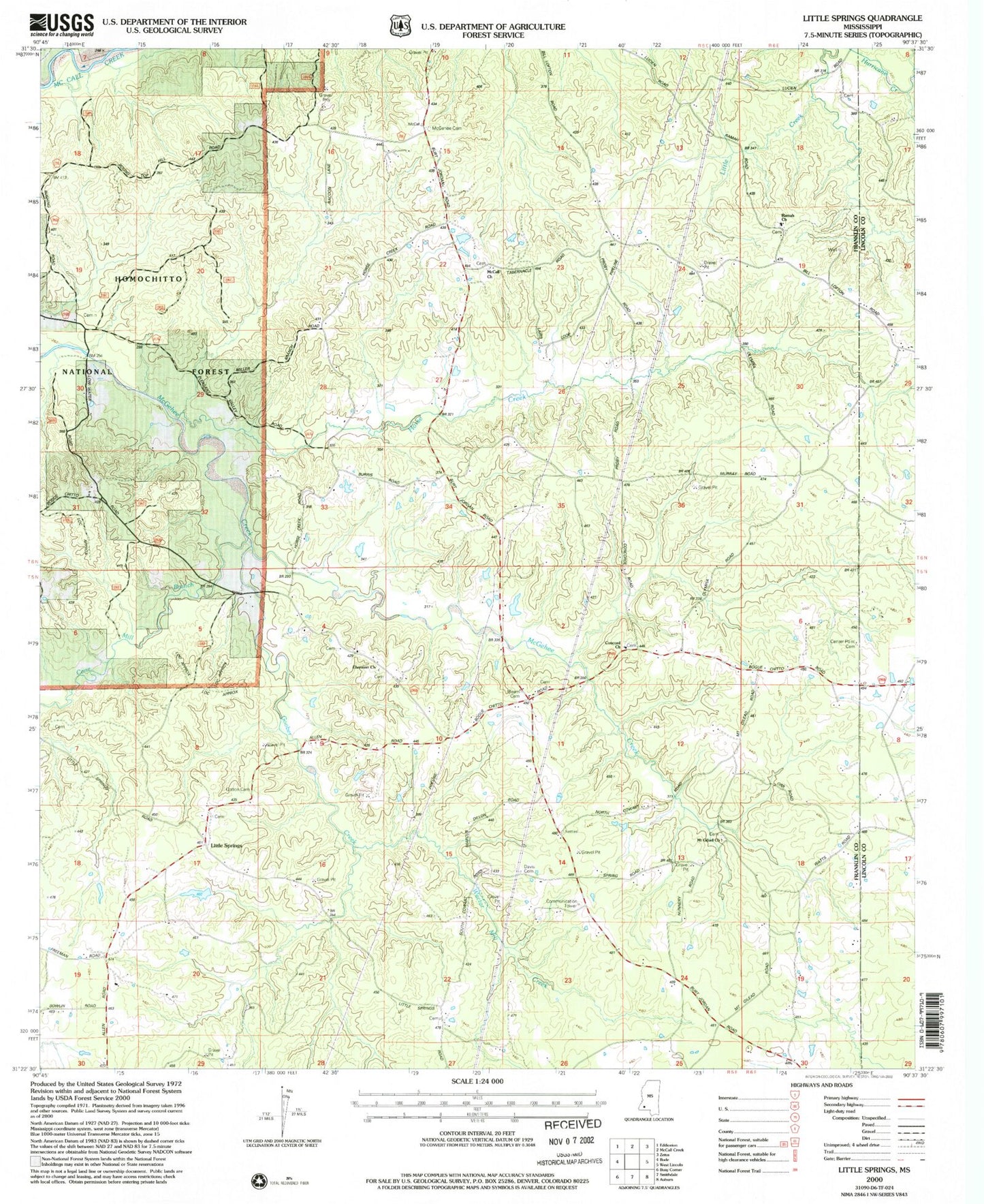
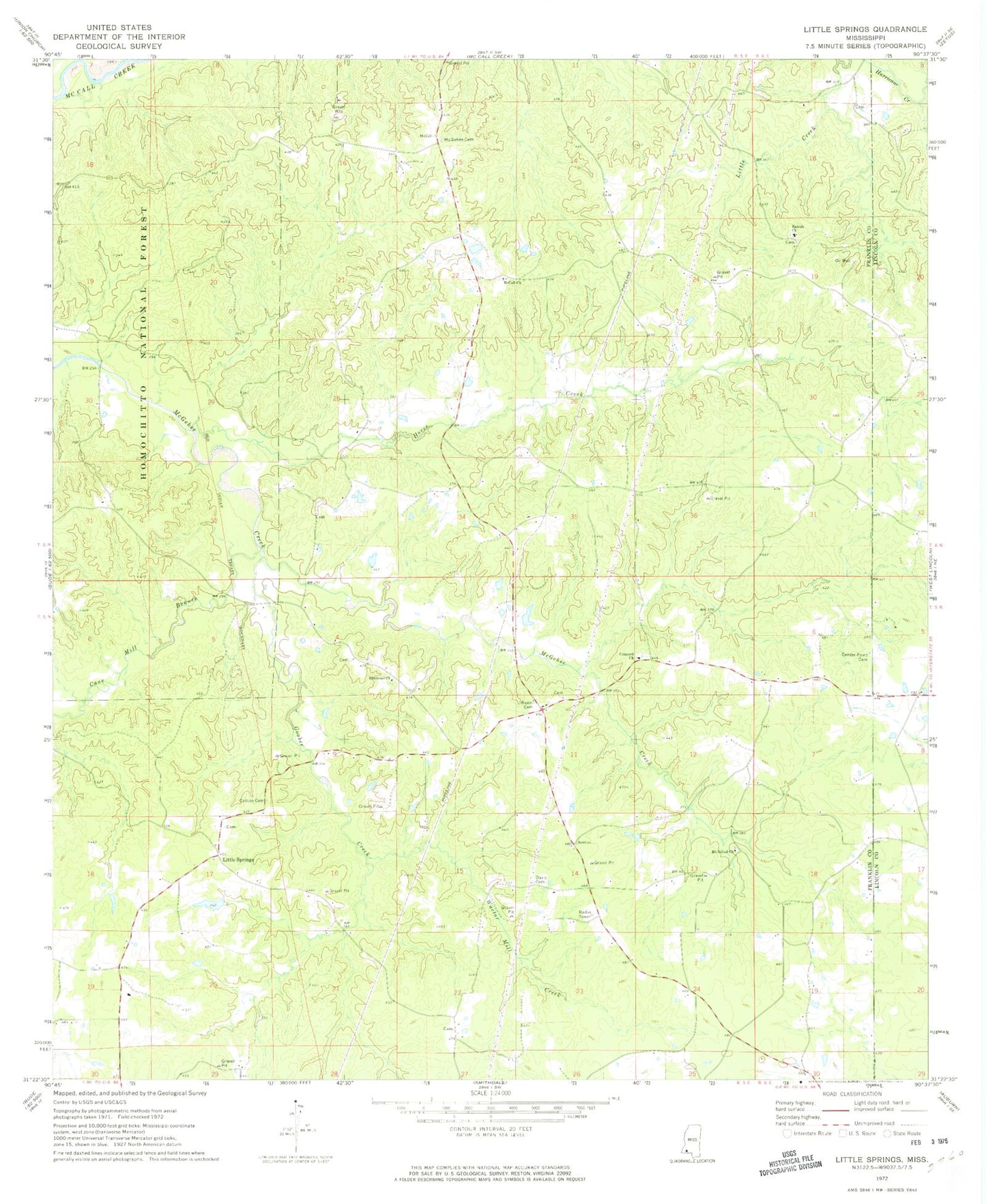
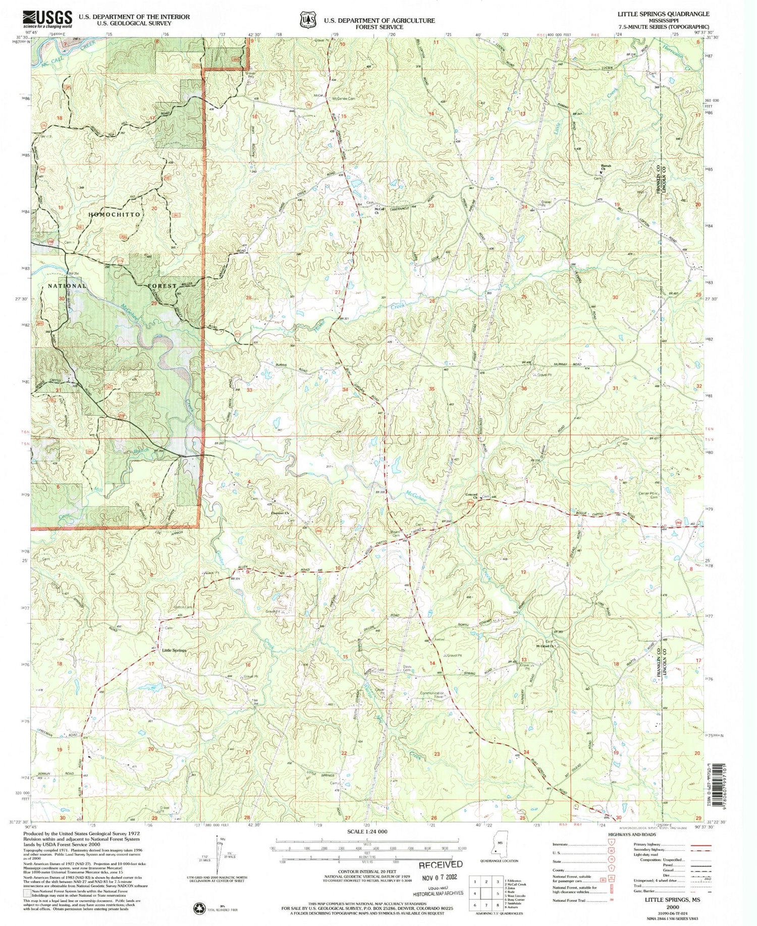
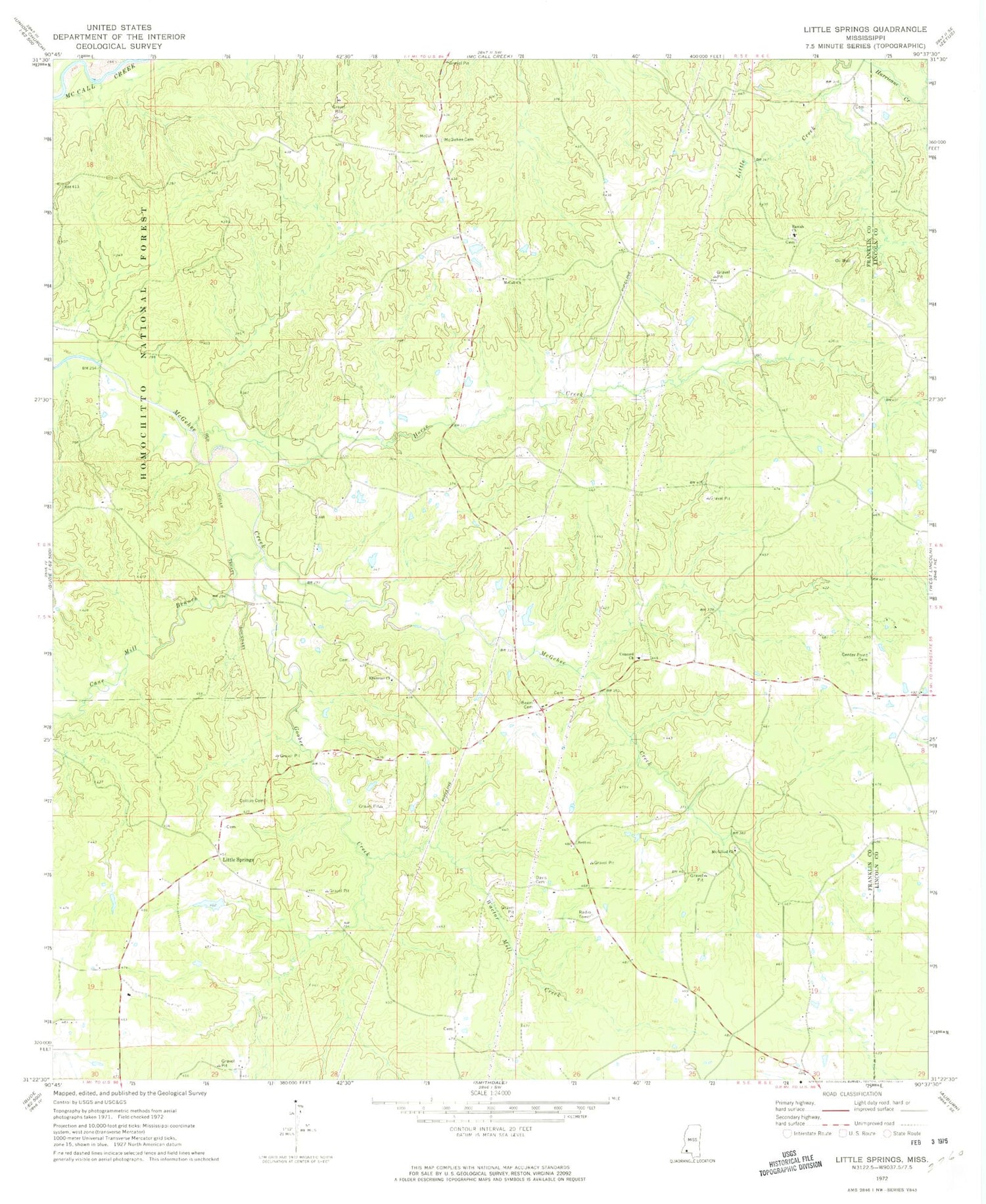
Classic USGS Little Springs Mississippi 7.5'x7.5' Topo Map
Couldn't load pickup availability
Historical USGS topographic quad map of Little Springs in the state of Mississippi. Map scale may vary for some years, but is generally around 1:24,000. Print size is approximately 24" x 27"
This quadrangle is in the following counties: Franklin, Lincoln.
The map contains contour lines, roads, rivers, towns, and lakes. Printed on high-quality waterproof paper with UV fade-resistant inks, and shipped rolled.
Contains the following named places: Beam Cemetery, Beams Store, Bowlin Cemetery, Cain Cemetery, Cane Mill Branch, Center Point Cemetery, Concord Baptist Church, Concord Cemetery, Cotton Cemetery, Cowart Lake Dam, Davis Cemetery, Ebenezer Cemetery, Ebenezer Church, Goober Creek, Horse Creek, Jones Lake Dam, Leon Burris Lake Dam, Little Creek, Little Springs, Magee Lake Dam, McCall Cemetery, McCall Church, McGehee Cemetery, Mount Gilead Cemetery, Mount Gilead Primitive Baptist Church, Ramah Baptist Church, Ramah Cemetery, Wactor Mill Creek


