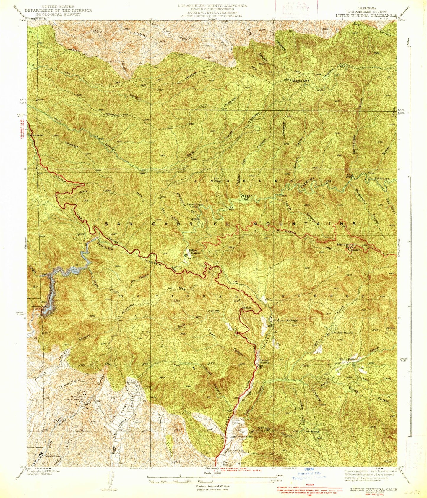
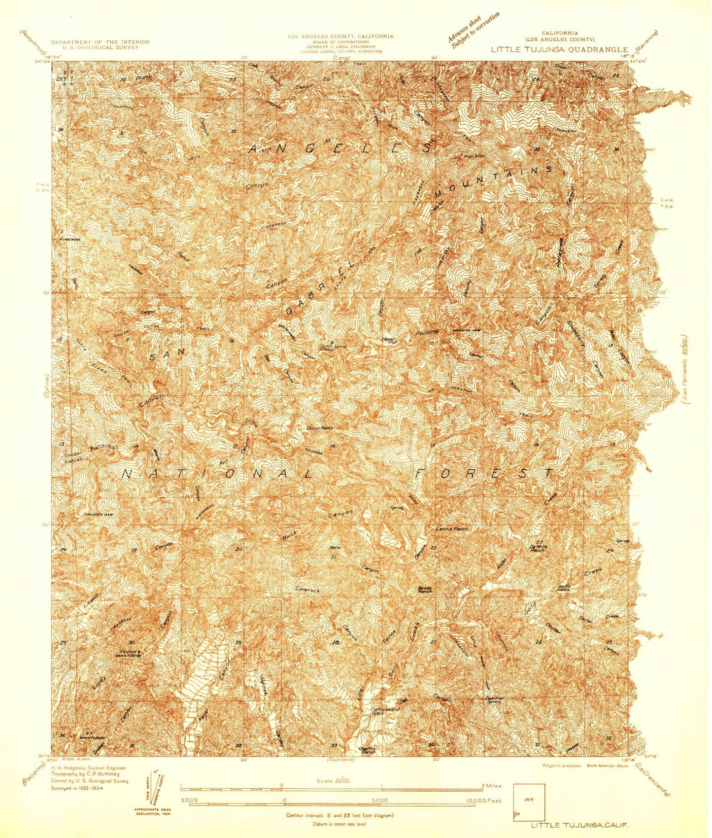
MyTopo
Classic USGS Little Tujunga California 7.5'x7.5' Topo Map
Couldn't load pickup availability
Historical USGS topographic quad map of Little Tujunga in the state of California. Typical map scale is 1:24,000, but may vary for certain years, if available. Print size: 24" x 27"
This quadrangle is in the following counties: Los Angeles.
The map contains contour lines, roads, rivers, towns, and lakes. Printed on high-quality waterproof paper with UV fade-resistant inks, and shipped rolled.
Contains the following named places: Alder Creek, Ant Canyon, Barrel Spring, Bear Divide, Bee Canyon, Bisker, Boulder Canyon, Buck Canyon, Center Creek, Cottonwood Canyon, Cottonwood Glen, Cougar Canyon, Dagger Flat, Dagger Flat Canyon, Dagger Flat Trail, Dillon Divide, Dillon Ranch, Dorothy Canyon, Dutch Louie Campground, Gateway School, Glen Haven and Sholom Memorial Park, Gold Creek, Gooseberry Canyon, Gordon Canyon, Highline Saddle, Honeybee Campground, Indian Springs, Kagel Divide, Kagel Mountain, Karl Holton Camp, Laurel Canyon, Limerock Canyon, Limerock Peak, Lovell Canyon, Maple Canyon, Mendenhall Saddle, Nehr Canyon, Noel Canyon, Oak Spring, Oak Spring Canyon, Oak Spring Trail, Pacoima Canyon, Pacoima Dam, Pacoima Reservoir, Paradise Ranch, Rattlesnake Canyon, Sholom Memorial Park, Spring Creek, The Pinnacle, Watts Ranch, Whitewater Canyon, Pacoima Target Shooting Area, Bear Divide Station, Angels Gun Club, Indian Springs, Magic Mountain, Mendenhall Peak, Sugarloaf, Nike Site LA-98C (historical)