MyTopo
Classic USGS Little Turkey Park New Mexico 7.5'x7.5' Topo Map
Couldn't load pickup availability
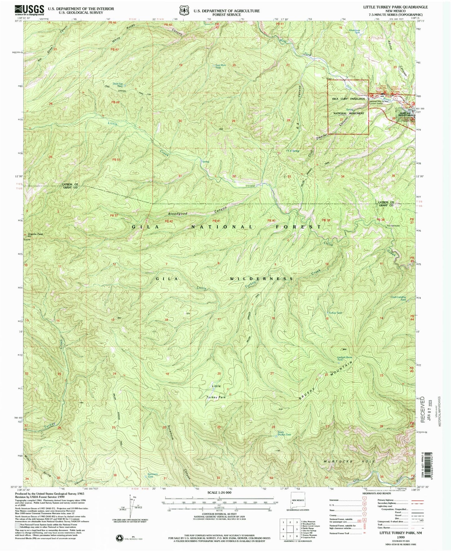
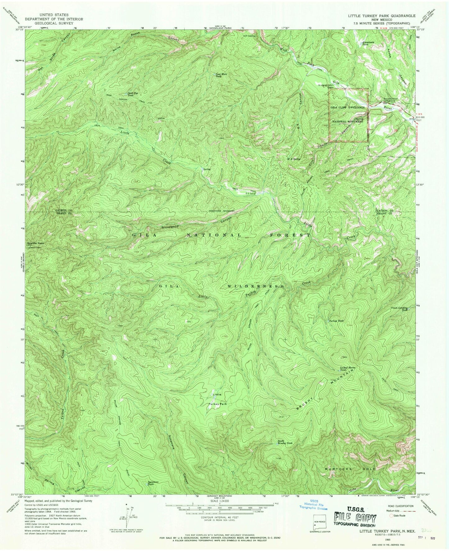
Historical USGS topographic quad map of Little Turkey Park in the state of New Mexico. Typical map scale is 1:24,000, but may vary for certain years, if available. Print size: 24" x 27"
This quadrangle is in the following counties: Catron, Grant.
The map contains contour lines, roads, rivers, towns, and lakes. Printed on high-quality waterproof paper with UV fade-resistant inks, and shipped rolled.
Contains the following named places: Adobe Canyon, Aluminum Tank, Bloodgood Canyon, Brushy Mountain, Brushy Mountain Trail, Cliff Dweller Canyon, Crash Landing Tank, Dead Eye Tank, E E Canyon, E E Corral, E E Spring, Granite Peak, Grudging Cabin, Little Turkey Creek, Little Turkey Park, Locked Horns Tank, Lost Mule Tank, Miller Springs Trail, Murtocks Hole, Ring Canyon Trail, Scorpion Corral Campground, South Brushy Tank, Sycamore Tank, Turkey Tank, White Rocks Canyon, Granite Peak Lookout, GSF-2279 1 Water Well, GSF-2343 Water Well, GSF-2277 Water Well, GSF-2278 Water Well, Gila Cliff Dwellings National Monument, National Park Service Visitor Center