MyTopo
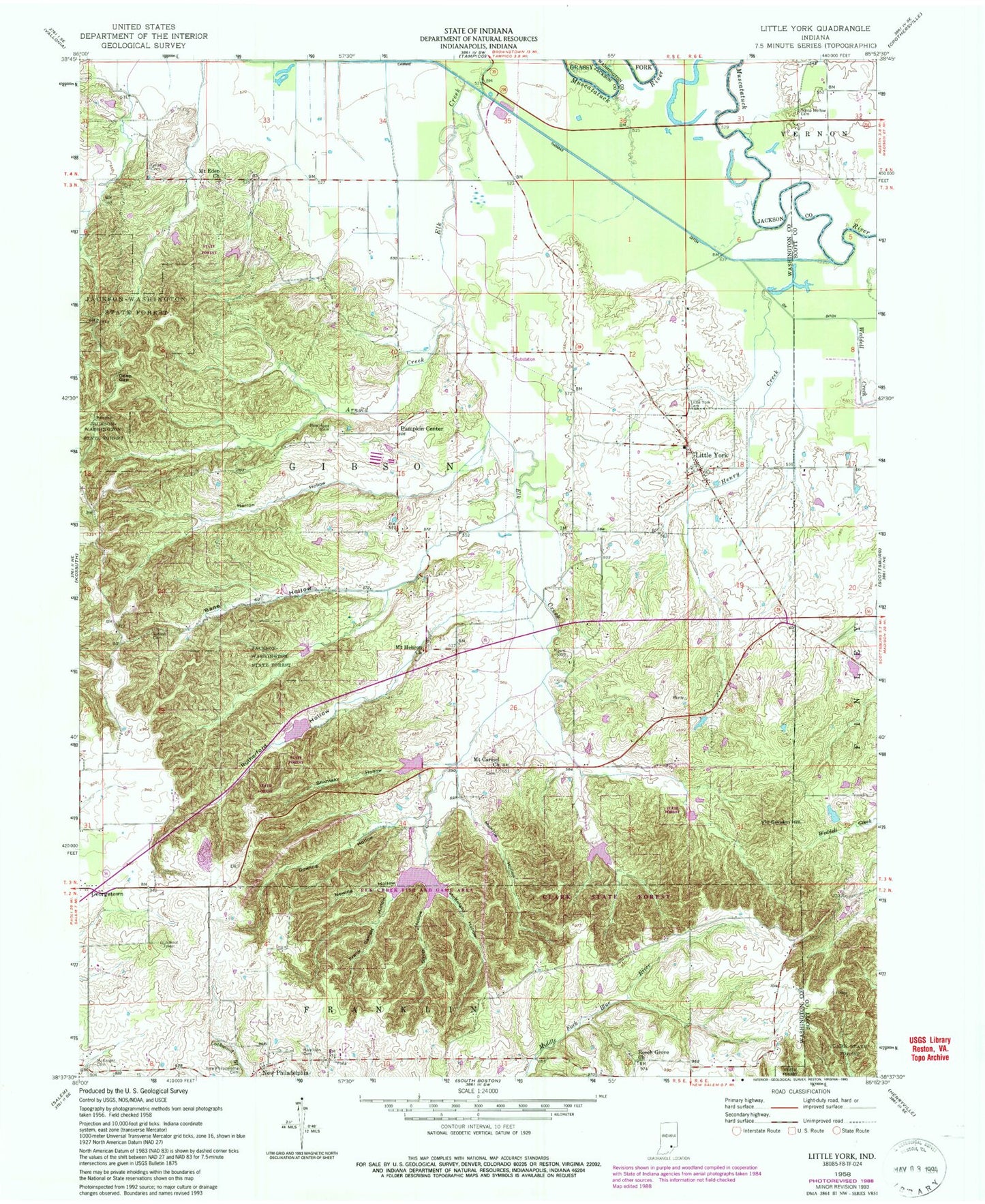
Classic USGS Little York Indiana 7.5'x7.5' Topo Map
Couldn't load pickup availability
Historical USGS topographic quad map of Little York in the state of Indiana. Typical map scale is 1:24,000, but may vary for certain years, if available. Print size: 24" x 27"
This quadrangle is in the following counties: Jackson, Scott, Washington.
The map contains contour lines, roads, rivers, towns, and lakes. Printed on high-quality waterproof paper with UV fade-resistant inks, and shipped rolled.
Contains the following named places: Bane Hollow, Cammie Thomas Ditch, Dowling Hollow, Elk Creek, Frank Garrett Hollow, Georgetown, Herron Hollow, McKnight Hollow, Monroe Hollow, New Philadelphia, Nowing Hollow, Pumpkin Center, Ridlen Cemetery, Rutherford Hollow, Shantaky Hollow, Smith Hollow, Weddell Creek, Elk Creek Fish and Game Area, Elk Creek Structure Number 7, Elk Creek Structure Number 3, Elk Creek Structure Number 8, Elk Creek Public Fishing Area, Vic Swaim Hill, Little York, Gooseport, Township of Gibson, Town of Little York, Gibson Township Little York Volunteer Fire Department, Little York Airport, Steep Hollow Cemetery


