MyTopo
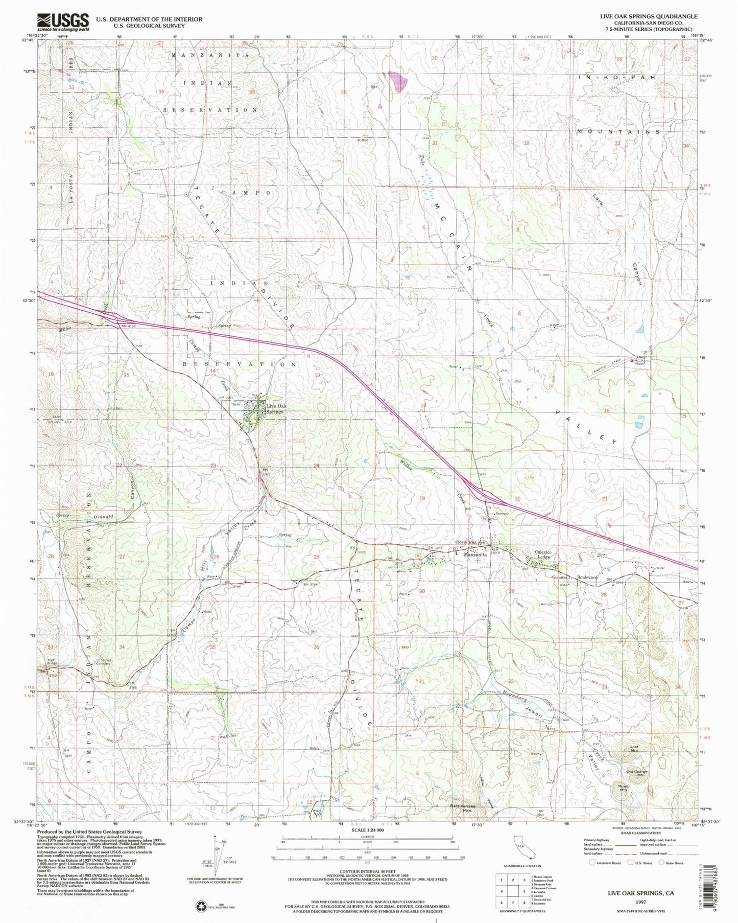
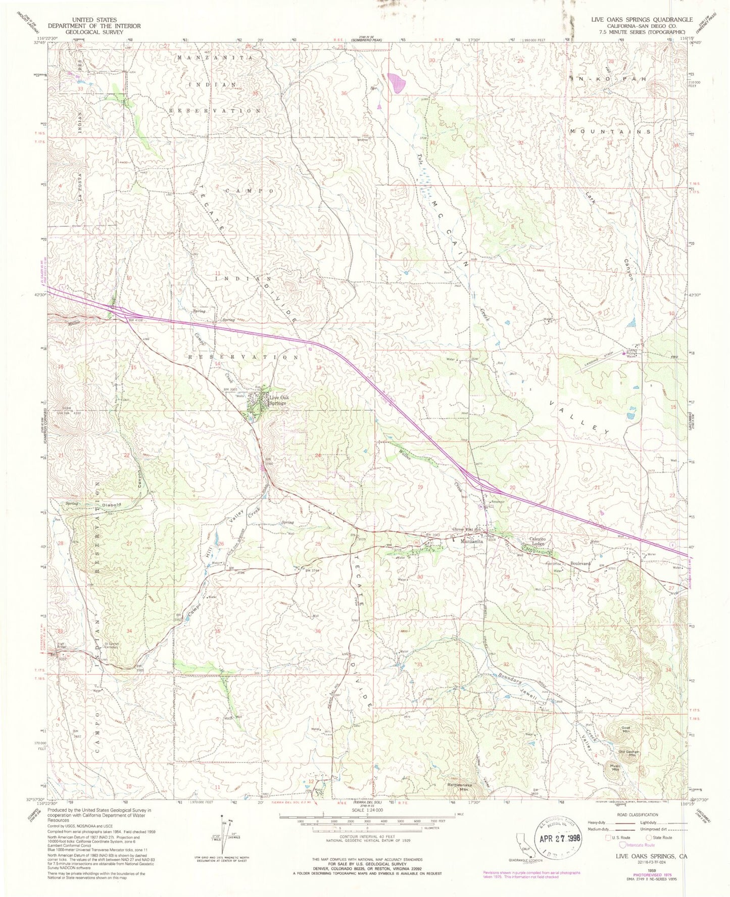
Classic USGS Live Oak Springs California 7.5'x7.5' Topo Map
Couldn't load pickup availability
Historical USGS topographic quad map of Live Oak Springs in the state of California. Map scale may vary for some years, but is generally around 1:24,000. Print size is approximately 24" x 27"
This quadrangle is in the following counties: San Diego.
The map contains contour lines, roads, rivers, towns, and lakes. Printed on high-quality waterproof paper with UV fade-resistant inks, and shipped rolled.
Contains the following named places: Boulevard, Boulevard Census Designated Place, Boulevard Post Office, CAL FIRE White Star Fire Station, Calexico Lodge, Campo Indian Reservation, Campo Reservation Fire Protection District - Fire Station, Clover Flats Elementary School, Diabold Canyon, Goat Mountain, High Bridge, Hill Valley, Lark Canyon, Little Valley, Live Oak Springs, Manzanita, Music Mountain, Old George Mountain, Pueblo Siding, Saint Carmel Cemetery, San Diego County Fire Authority Fire Station 47, San Diego County Sheriff's Office Boulevard, Tecate Divide, Tule Creek, Walker Creek, ZIP Code: 91905


