MyTopo
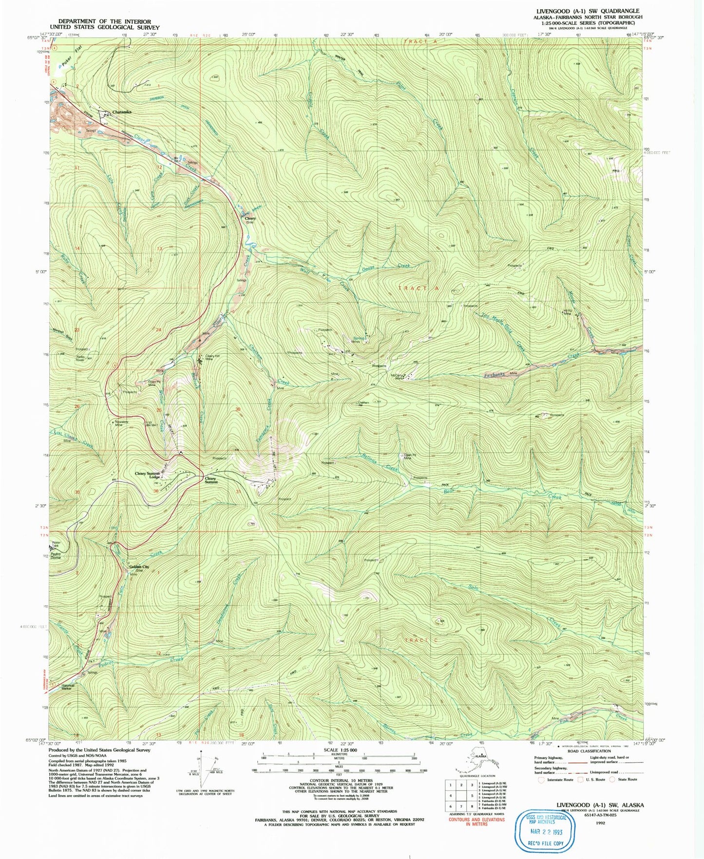
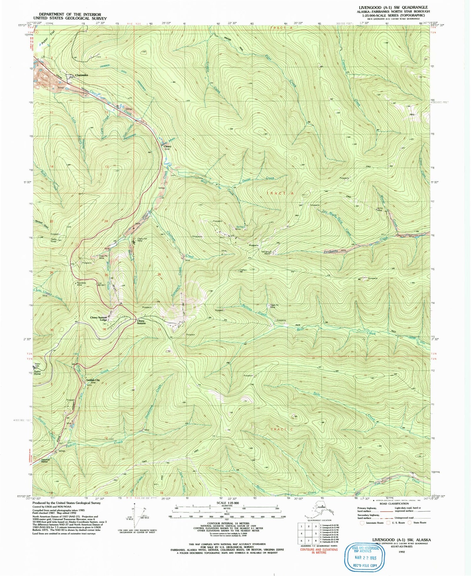
Classic USGS Livengood A-1 SW Alaska 7.5'x7.5' Topo Map
Couldn't load pickup availability
Historical USGS topographic quad map of Livengood A-1 SW in the state of Alaska. Map scale may vary for some years, but is generally around 1:24,000. Print size is approximately 24" x 27"
This quadrangle is in the following counties: Fairbanks North Star.
The map contains contour lines, roads, rivers, towns, and lakes. Printed on high-quality waterproof paper with UV fade-resistant inks, and shipped rolled.
Contains the following named places: Barnes Creek, Bedrock Creek, Bellows Creek, Chatanika, Chatham Creek, Cleary, Cleary Hill Mine, Cleary Summit, Cleary Summit Lodge, Cora Creek, Cora Gulch, Cripple Creek, Deadwood Creek, Dora Creek, Golden City, Goose Creek, Granite Creek, Hi-Yu Mine, Lulu Creek, McCarty Mine, Moose Creek, Newsboy Mine, Pearl Creek, Pedro Dome, Skoogy Creek, Tamarack Creek, Too Much Gold Creek, Twin Creek, Willow Creek, Wolf Creek