MyTopo
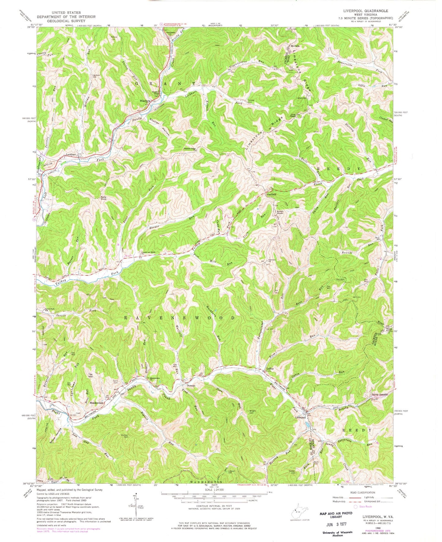
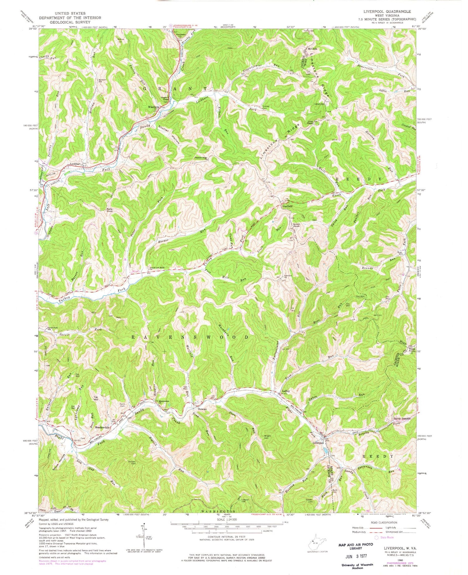
Classic USGS Liverpool West Virginia 7.5'x7.5' Topo Map
Couldn't load pickup availability
Historical USGS topographic quad map of Liverpool in the state of West Virginia. Map scale may vary for some years, but is generally around 1:24,000. Print size is approximately 24" x 27"
This quadrangle is in the following counties: Jackson, Roane, Wirt.
The map contains contour lines, roads, rivers, towns, and lakes. Printed on high-quality waterproof paper with UV fade-resistant inks, and shipped rolled.
Contains the following named places: Balls Knob, Barnes Run, Bear Run, Bens Run, Biglick Run, Boggess Run, Brushy Fork, Bryan School, Buck Cemetery, Buck Run, Burgess Run, Cabin Run, Calbert School, Camp Run, College Grove School, Coon Run, Curry Cemetery, Duncan, Duncan Cemetery, Fairview Church, Fairview School, Fallentimber Run, Farley Run, Five Mile Run, Garder Cemetery, Garfield, Gridley Cemetery, Hartley Run, Hope School, Horner Run, Kelball Run, LeRoy, LeRoy Post Office, Lisez Run, Liverpool, Lockhart, Lockhart Fork, Low Gap Run, Lynn Valley School, Lynncamp Run, McClain, McGraw Run, McGraw School, Meadowdale, Meadowdale Cemetery, Meadowdale Church, Mount Hermon Church, Nesselroad Run, Niggletetwist Run, Oak Grove School, Offie Run, Panther Run, Parsons Run, Patterson Run, Peter Fork, Pleasant Ridge Cemetery, Pleasant Ridge Church, Prayer and Faith Church, Providence Church, Quilt Run, Red Rose School, Rising Sun School, Rounds Run, Rush Run, Sandy Summit, Sarvis Fork School, Shepherd Chapel, Sheppard Chapel Church Cemetery, Smith Knob, Smith Run, Spruce Narrows, Stutler Hollow, Tar Hill, Trap Run, Turkey Fork School, Union Chapel Cemetery, Union United Methodist Church, Warfield Run, Washburn Run, Weed Knob, White Rose School, Wiseburg, Wright Cemetery, ZIP Codes: 25252, 25275


