MyTopo
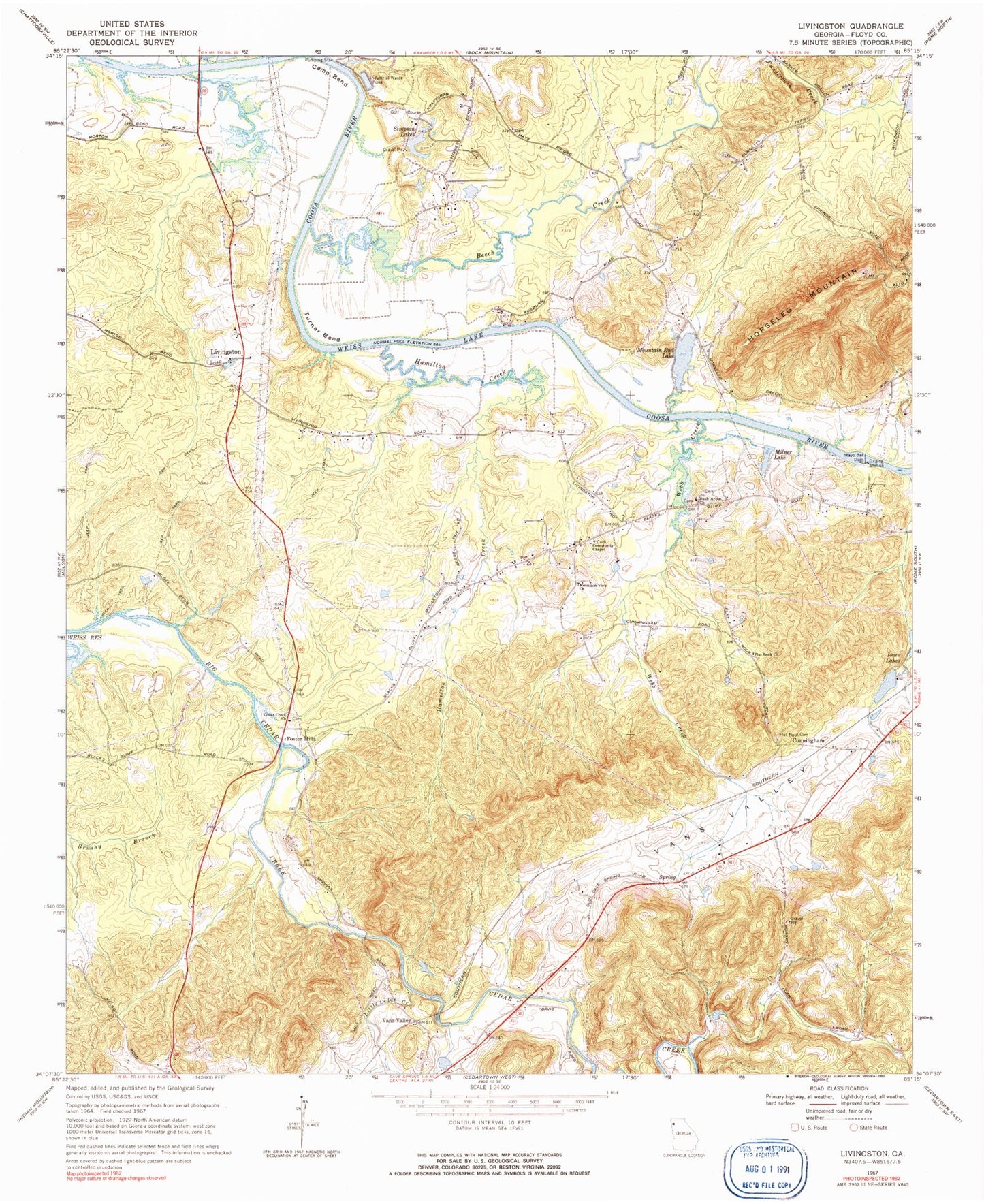
Classic USGS Livingston Georgia 7.5'x7.5' Topo Map
Couldn't load pickup availability
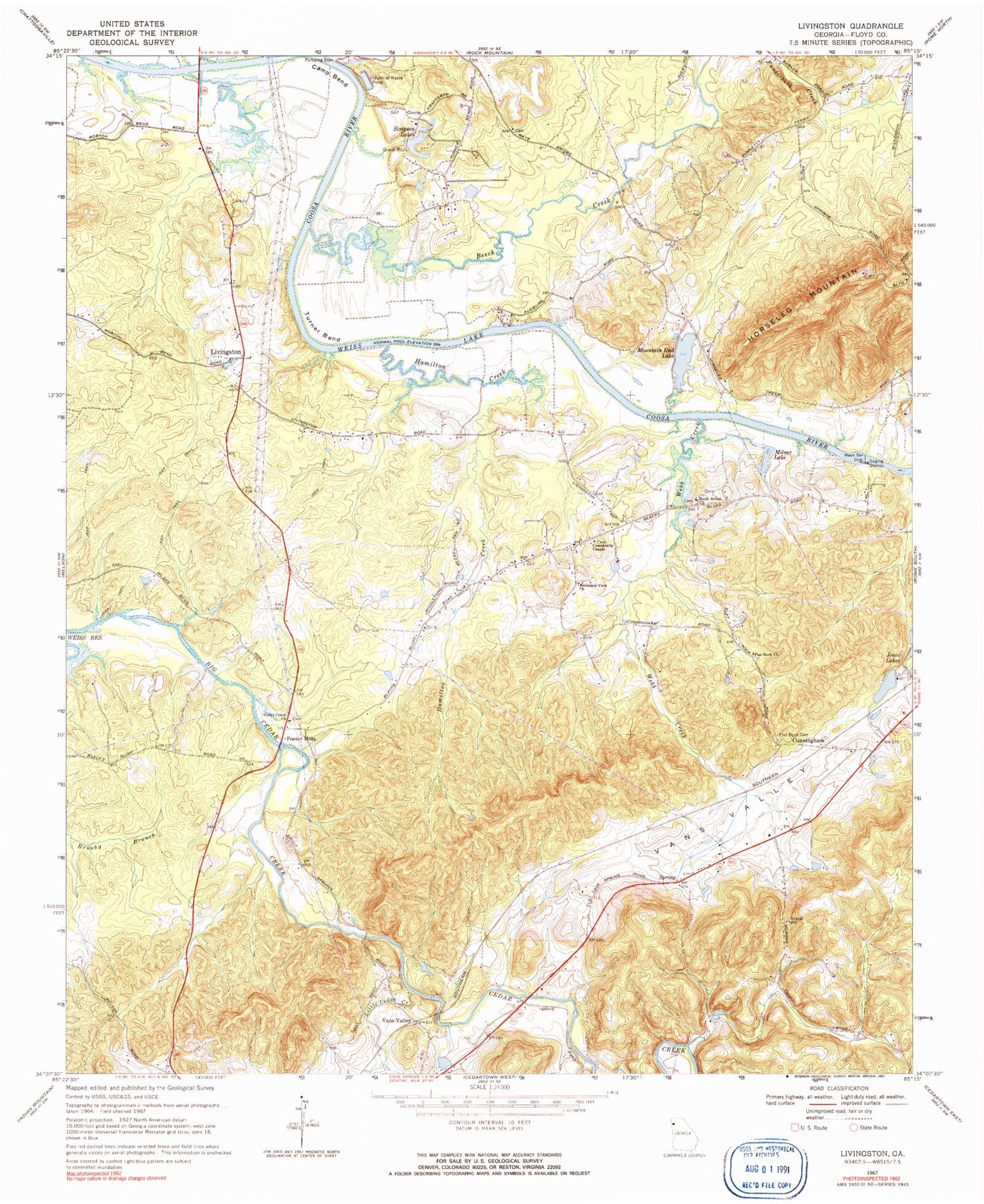
Historical USGS topographic quad map of Livingston in the state of Georgia. Map scale may vary for some years, but is generally around 1:24,000. Print size is approximately 24" x 27"
This quadrangle is in the following counties: Floyd.
The map contains contour lines, roads, rivers, towns, and lakes. Printed on high-quality waterproof paper with UV fade-resistant inks, and shipped rolled.
Contains the following named places: Alto Park Recreation Center, Beech Creek, Bellview School, Bush Arbor Cemetery, Bush Arbor Church, Camp Bend, Cave Spring Division, Cedar Creek Cemetery, Cedar Creek Church, Cherokee Country Club, Community Chapel Baptist Church, Community Chapel Cemetery, Cress Spring, Cunningham, Dawson Field, Dry Creek, Flat Rock Cemetery, Flat Rock Church, Floyd County Recreation Area, Foster Mills, Friendship, Hamilton Creek, Heavy Liquor Pond, Heavy Liquor Pond Dam, Jones Lake, Jones Lake Dam, Jones Lakes, Kraft Industrial Waste Pond, Kraft Industrial Waste Pond Dam, Landers, Little Cedar Creek, Live Oak Church, Livingston, Livingston Cemetery, Matthew Baptist Church, Matthew Cemetery, Mayo Bar Dam, Mill Race, Milner Lake, Montgomery Cemetery, Mountain End Lake, Mountain End Lake Cemetery, Mountain End Lake Dam, Mountain View Cemetery, Mountain View Church, Neals Ferry, Payne School, Round Hill Cemetery, Saint Lukes Church, Simpson Lake, Simpson Lake Dam, Simpson Lakes, Turner Bend, Valley Grove Church, Vans Valley, Webb Creek, Yancey, ZIP Code: 30124


