MyTopo
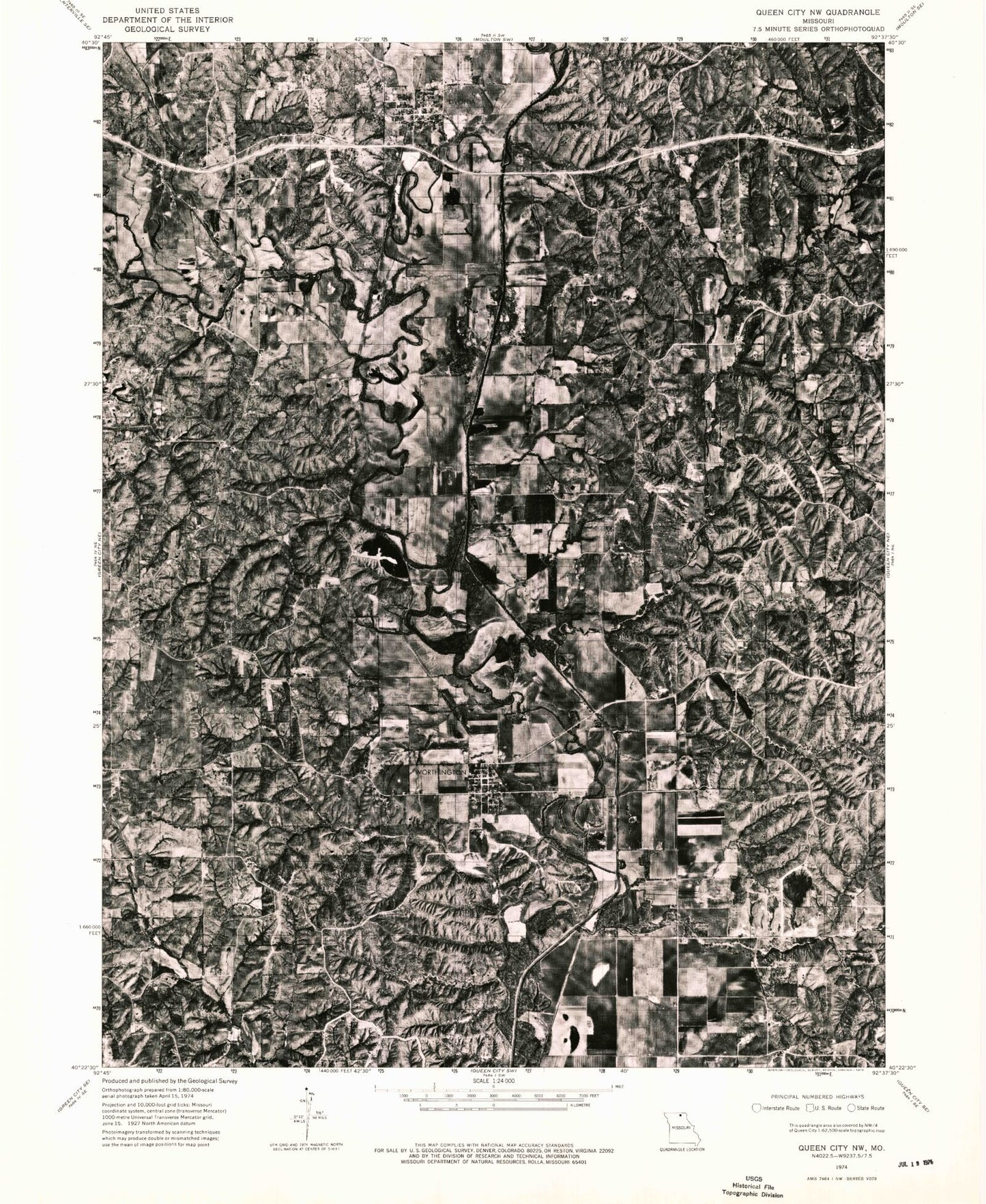
Classic USGS Livonia Missouri 7.5'x7.5' Topo Map
Couldn't load pickup availability
Historical USGS topographic quad map of Livonia in the state of Missouri. Map scale may vary for some years, but is generally around 1:24,000. Print size is approximately 24" x 27"
This quadrangle is in the following counties: Putnam, Schuyler.
The map contains contour lines, roads, rivers, towns, and lakes. Printed on high-quality waterproof paper with UV fade-resistant inks, and shipped rolled.
Contains the following named places: Baugh Branch, Brasfield School, Brush Creek, Cooper Cemetery, Dog Branch, Eason Cemetery, Elm Creek, Gillespie Cemetery, Grant Township Fire District, Hartford School, Hogg School, Hurley Cemetery, Jimtown Cemetery, Jimtown School, Lickskillet, Livonia, Livonia Post Office, Logan Branch, Oak Grove School, Pleasant Home Cemetery, Power of Prayer Church, Sand Creek, Satterfield School, Shoal Creek, Slate Ford, Speak Cemetery, Tan Lake, Village of Livonia, Village of Worthington, White Oak Ridge, Winkler Creek, Worthington, Worthington Cemetery, ZIP Code: 63567