MyTopo
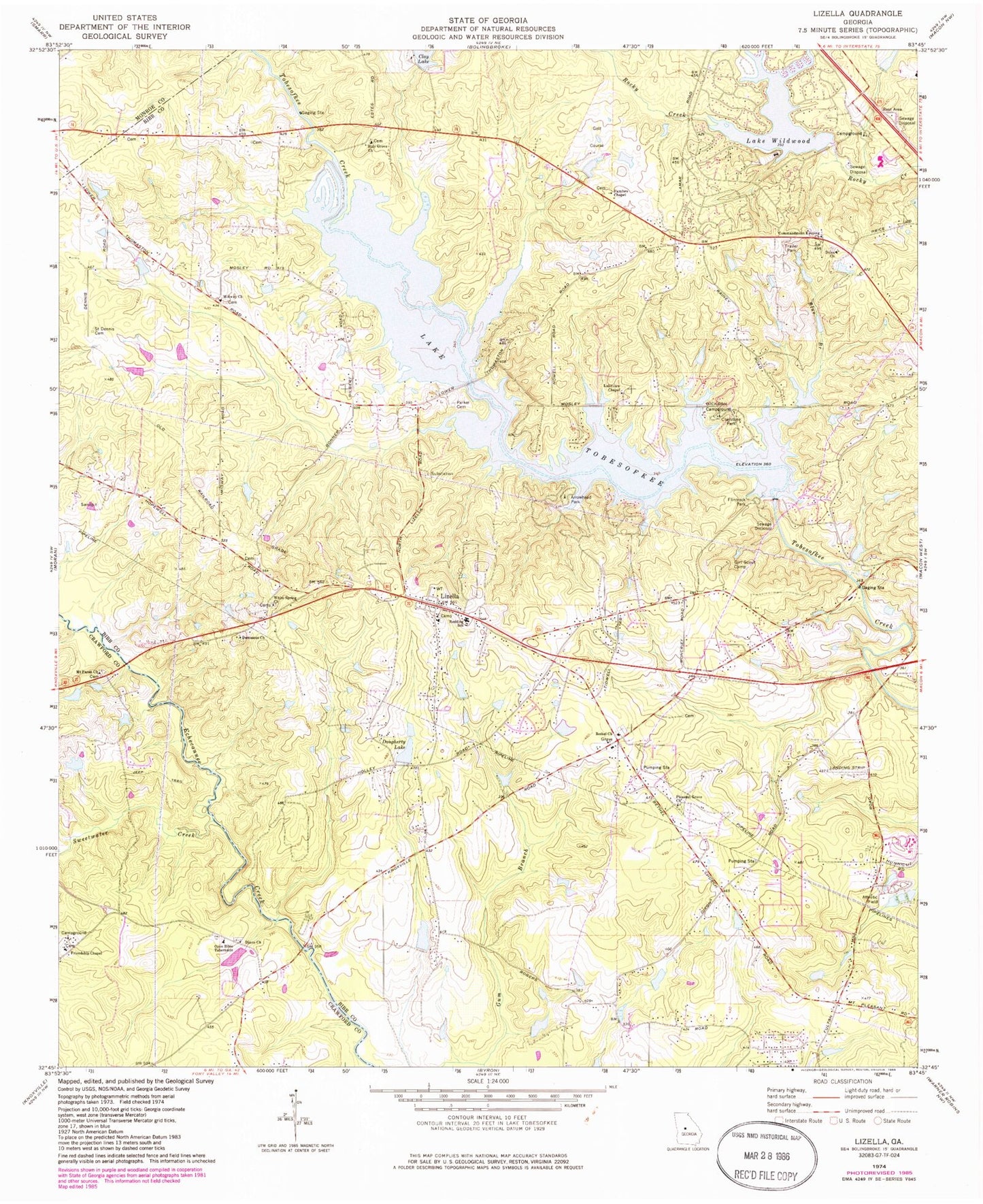
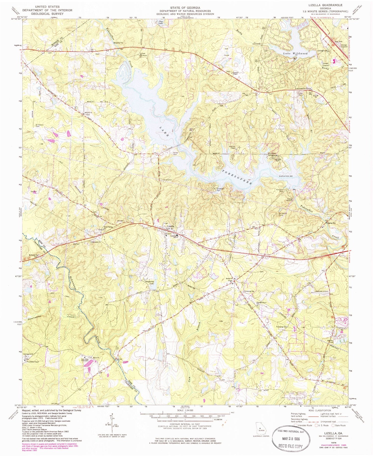
Classic USGS Lizella Georgia 7.5'x7.5' Topo Map
Couldn't load pickup availability
Historical USGS topographic quad map of Lizella in the state of Georgia. Map scale may vary for some years, but is generally around 1:24,000. Print size is approximately 24" x 27"
This quadrangle is in the following counties: Bibb, Crawford, Monroe.
The map contains contour lines, roads, rivers, towns, and lakes. Printed on high-quality waterproof paper with UV fade-resistant inks, and shipped rolled.
Contains the following named places: Angels Acres, Arrowhead Park, Beaveroaks, Bethany Cemetery, Bethel Church, Blanton Acres, Blue Branch, Camelot, Central State Prison, Cherokee, Christophers Cove, Clay Lake, Clay South Dam, Clay South Lake, Claystone Park, Commandment Keeping Church, Damascus Church, Davis Cemetery, Dixie, Dixon Cemetery, Dixon Church, Dogwood Plantation, Doles Church, Dougherty Lake, Dougherty Lake Dam, Faith Temple, Fambro Chapel, Fellowship Cemetery, Fenley Ryther Dam, Flintrock Park, Friendship Chapel, Holy Grove Church, Kings Cove, Lake Tobesofkee, Lake Wildwood, Lake Wildwood Dam, Lakeview, Lakeview Chapel, Lizella, Lizella Church, Lizella Division, Lizella Post Office, Macedonia Church, Macon - Bibb County Fire Department Station 104, Macon - Bibb County Fire Department Station 105, Macon - Bibb County Fire Department Station 106, Marshalls Mill, Midway Church, Mount Paran Church, Open Bible Tabernacle, Phelps Estates, Pineworth by the Lake, Pleasant Grove Church, Pleasant Grove School, Redding School, Rockmill, Rogers Acres, Saint Dennis Cemetery, Saint Dennis Church, Sandy Beach Park, Shadowood, Sherwood Forest, Sofkee Estates, Southeastern Holiness Camp, Stackler Lake, Stackler Lake Dam, Stratford Academy, Sweetwater Creek, Tara, Trails End, West Point, Whispering Pines, White Spring Church, White Spring School, ZIP Codes: 31052, 31220


