MyTopo
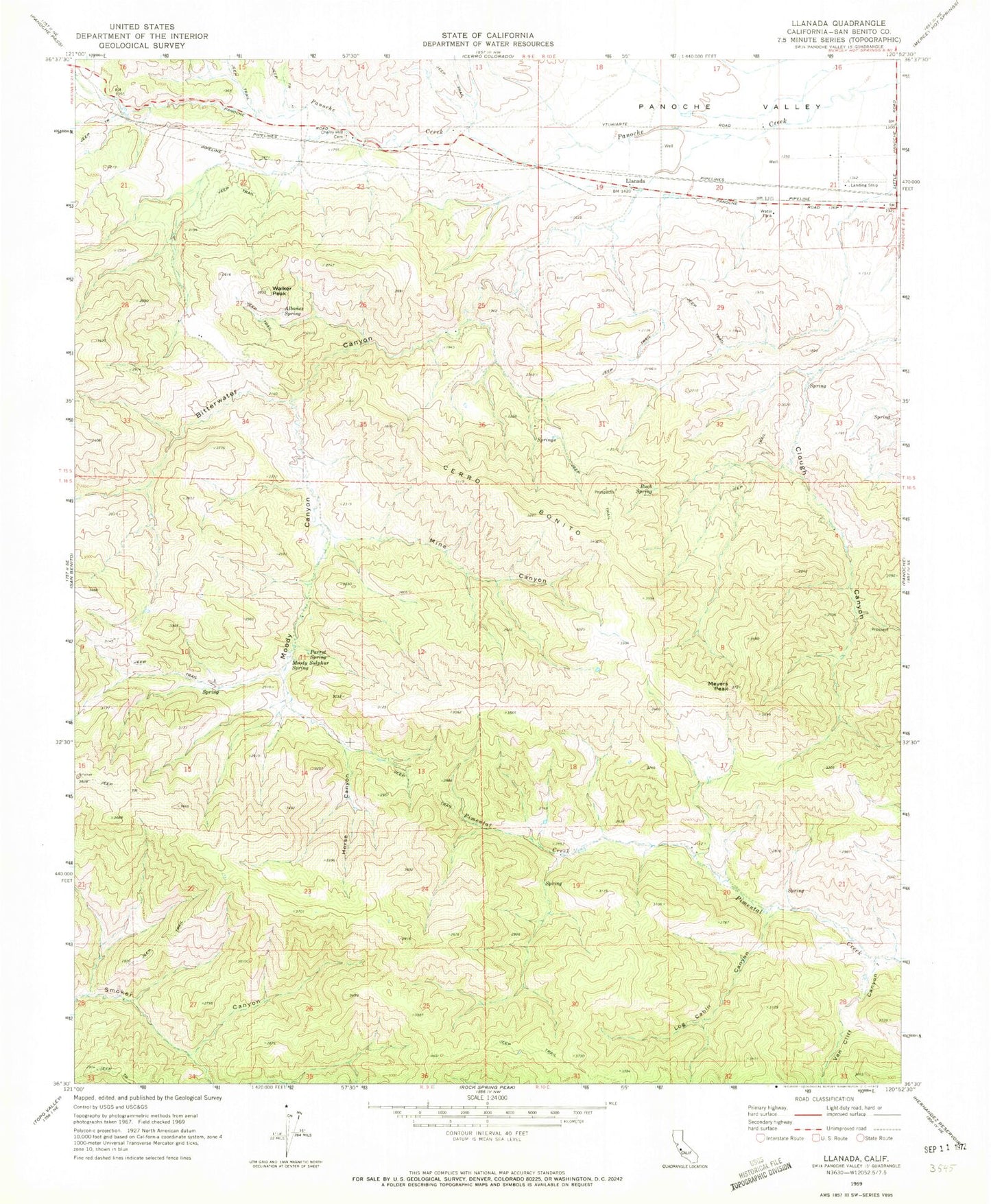
Classic USGS Llanada California 7.5'x7.5' Topo Map
Couldn't load pickup availability
Historical USGS topographic quad map of Llanada in the state of California. Map scale may vary for some years, but is generally around 1:24,000. Print size is approximately 24" x 27"
This quadrangle is in the following counties: San Benito.
The map contains contour lines, roads, rivers, towns, and lakes. Printed on high-quality waterproof paper with UV fade-resistant inks, and shipped rolled.
Contains the following named places: Albanez Spring, Bitterwater Canyon, Buck Spring, Cerro Bonito, Cherry Hill Cemetery, Cherry Hill School, Clough Canyon, Horse Canyon, Llanada, Log Cabin Canyon, Meyers Peak, Mine Canyon, Moody Canyon, Moody Spring, Parrot Spring Sulphur, San Benito-Bitterwater Division, Strohn Rancho, Van Cliff Canyon, Walker Peak, ZIP Code: 95043