MyTopo
Classic USGS Lloyd Shoals Dam Georgia 7.5'x7.5' Topo Map
Couldn't load pickup availability
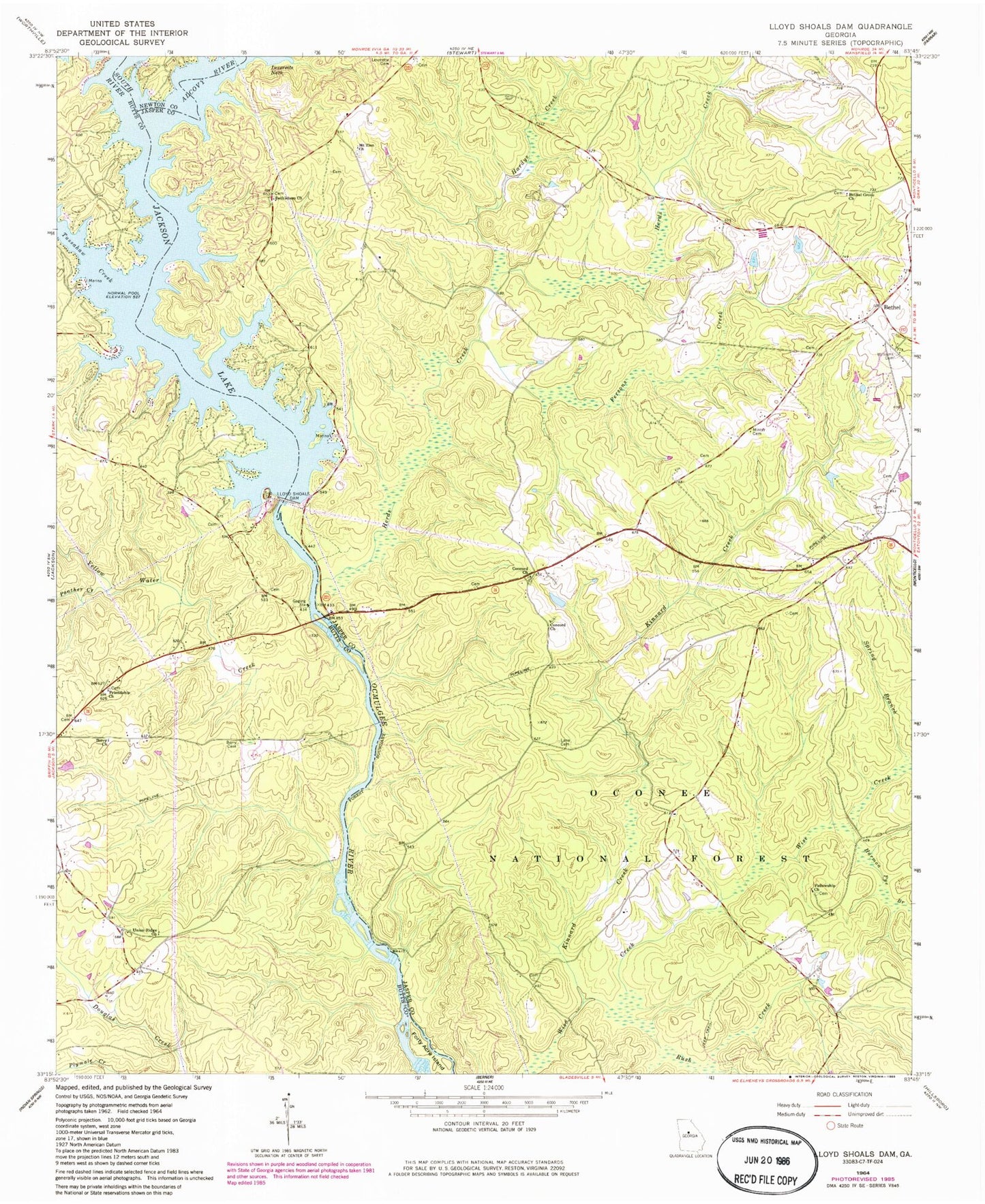
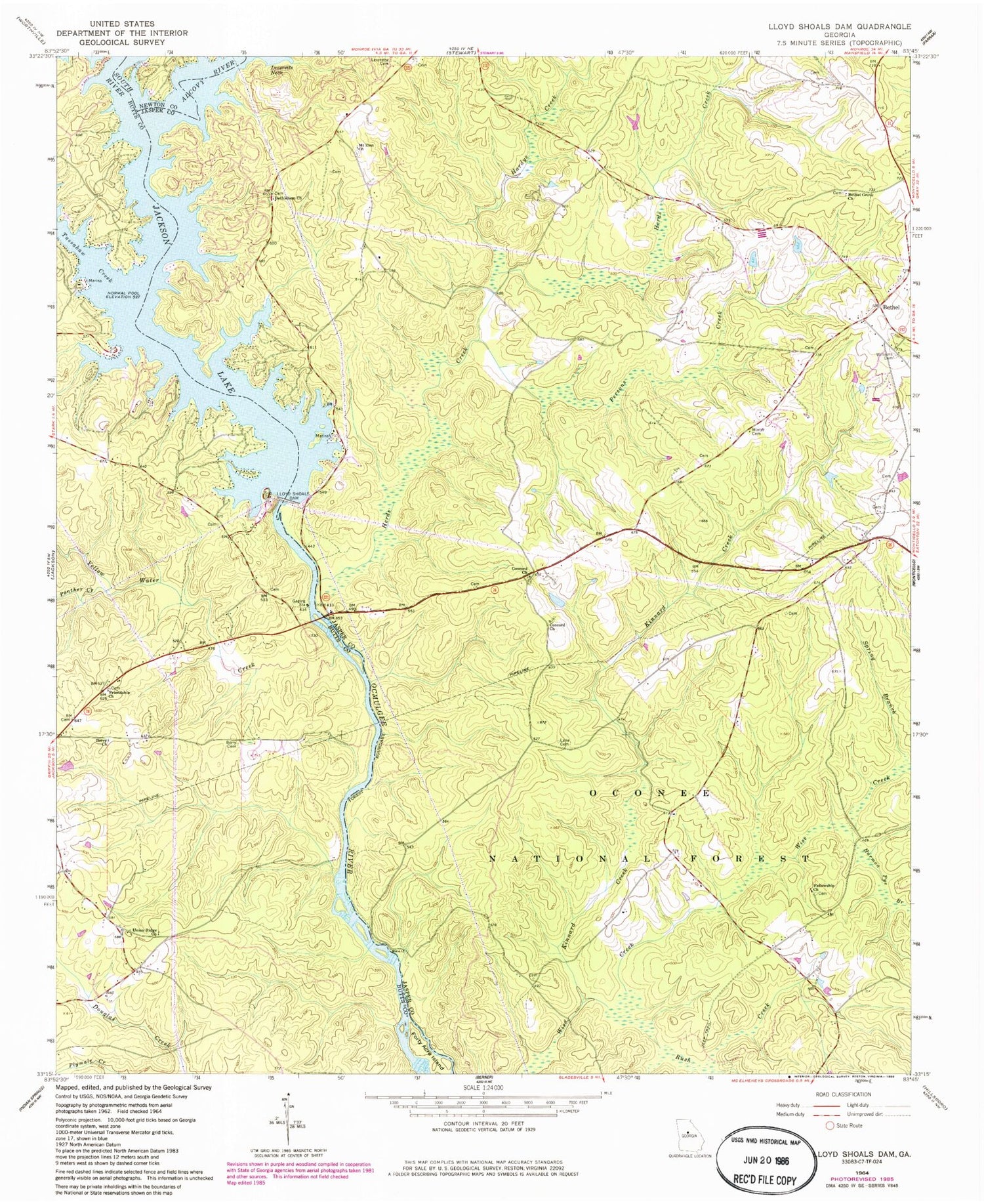
Historical USGS topographic quad map of Lloyd Shoals Dam in the state of Georgia. Map scale may vary for some years, but is generally around 1:24,000. Print size is approximately 24" x 27"
This quadrangle is in the following counties: Butts, Jasper, Newton.
The map contains contour lines, roads, rivers, towns, and lakes. Printed on high-quality waterproof paper with UV fade-resistant inks, and shipped rolled.
Contains the following named places: Alcovy River, Barber Cemetery, Berry Cemetery, Berry Church, Bethel, Bethel Baptist Church, Bethel Grove Church, Bethlehem Church, Concord Cemetery, Concord Church, Concord Hunt Camp, Concord Primitive Baptist Church, Edwards Store, Elizabeth Church, Fellowship Church, Fellowship Primitive Baptist Cemetery, Friendship Cemetery, Friendship Church, Friendship Hunt Camp, Friendship School, Giles Ferry, Hardys Creek, Harmon Pye Branch, Herds Creek, Horse Hunt Camp, Jackson Lake, Keys Store, Kinnard Creek, Kinnard Horse Trail, Lane Cemetery, Leverette Cemetery, Leverette Neck, Lloyd Shoals Dam, Maddox Cemetery, Mechanicsville, Minter Cemetery, Moores Chapel, Mount Olive Church, Mount Zion Cemetery, Mount Zion Church, Oak Hill School, Old Dempsey Ferry, Old Keys Ferry, Panther Creek, Persons Creek, Pittman Ferry, Rush Creek, Rush Creek Hunt Camp, Sardis Church, Smith Ferry, Smiths Mill, South River, Spring Branch, Thomas Ferry, Tussahaw Creek, Tyler Crossroads, Union Ridge Church, Wallers Academy, Warren Academy, Williams Cemetery, Yellow Water Creek