MyTopo
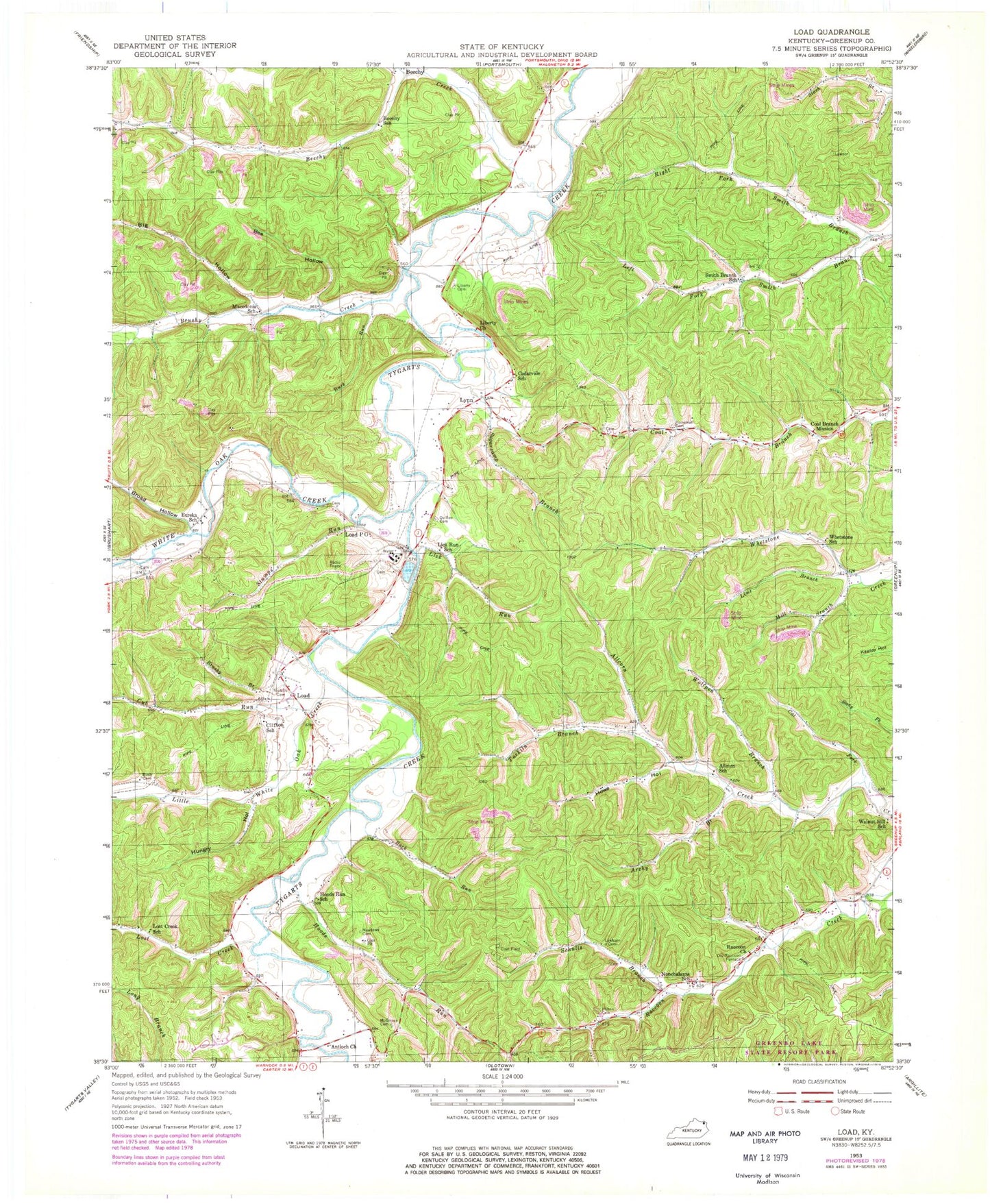
Classic USGS Load Kentucky 7.5'x7.5' Topo Map
Couldn't load pickup availability
Historical USGS topographic quad map of Load in the state of Kentucky. Map scale may vary for some years, but is generally around 1:24,000. Print size is approximately 24" x 27"
This quadrangle is in the following counties: Greenup.
The map contains contour lines, roads, rivers, towns, and lakes. Printed on high-quality waterproof paper with UV fade-resistant inks, and shipped rolled.
Contains the following named places: Allcorn School, Antioch Church, Archy Branch, Bee Hollow, Beechy, Beechy Creek, Beechy School, Big Hollow, Blackbird Branch, Broad Hollow, Brushy Branch, Brushy Creek, Buck Run, Cat Fork, Cedarvale School, Clifton School, Coal Branch Mission, Cub Run, Eureka School, Greenup County, Greenup Division, Heineman Cemetery, Hilton Cemetery, Hoods Run, Hoods Run School, Howe Hollow, Hungry Hollow, Lawhorn Cemetery, Left Fork Smith Branch, Liberty Methodist Church, Lick Run, Lick Run School, Lime Branch, Little Oak Creek, Load, Load Post Office, Load Volunteer Fire Department, Lost Creek, Lost Creek School, Lynn, Macedonia School, McGinnis Cemetery, Meadows Cemetery, Mill Branch, Nichols Cemetery, Nonchalanta School, Old Raccoon Furnace, Quillen Cemetery, Raccoon Church, Right Fork Smith Branch, Schultz Branch, Smith Branch School, Stumps Run, Sugarcamp Branch, Tarkiln Branch, Walnut Hill School, Waring Cemetery, Whetstone School, White Oak Creek, Wolfpen Branch, ZIP Code: 41144


