MyTopo
Classic USGS Loango Alabama 7.5'x7.5' Topo Map
Couldn't load pickup availability
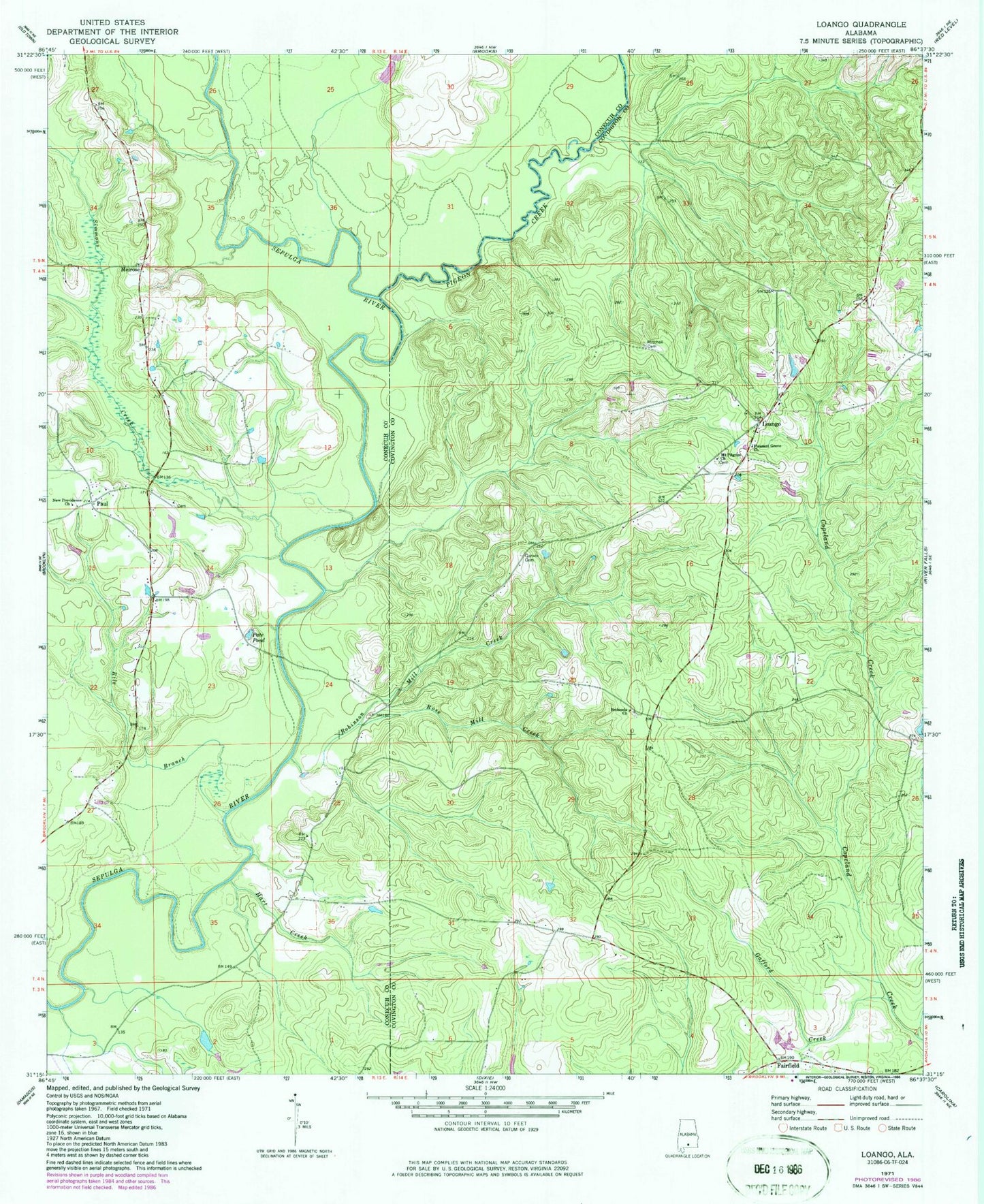
Historical USGS topographic quad map of Loango in the state of Alabama. Map scale may vary for some years, but is generally around 1:24,000. Print size is approximately 24" x 27"
This quadrangle is in the following counties: Conecuh, Covington.
The map contains contour lines, roads, rivers, towns, and lakes. Printed on high-quality waterproof paper with UV fade-resistant inks, and shipped rolled.
Contains the following named places: Bethesda Primitive Baptist Church, Chapman Quarters, Fairfield, Gafford Creek, Garwin Cemetery, Hart Creek, Loango, Loango Volunteer Fire Department, Melrose, Mitchell Cemetery, Mount Hored School, Mount Pilgrim Baptist Church, New Providence Church, Pate Pond, Paul, Paul Church, Paul Volunteer Fire Department, Pigeon Creek, Pleasant Grove Baptist Church, Providence Church, Rile Branch, Robinson Mill Creek, Rose Mill Creek, Simmons Creek, Watson School