MyTopo
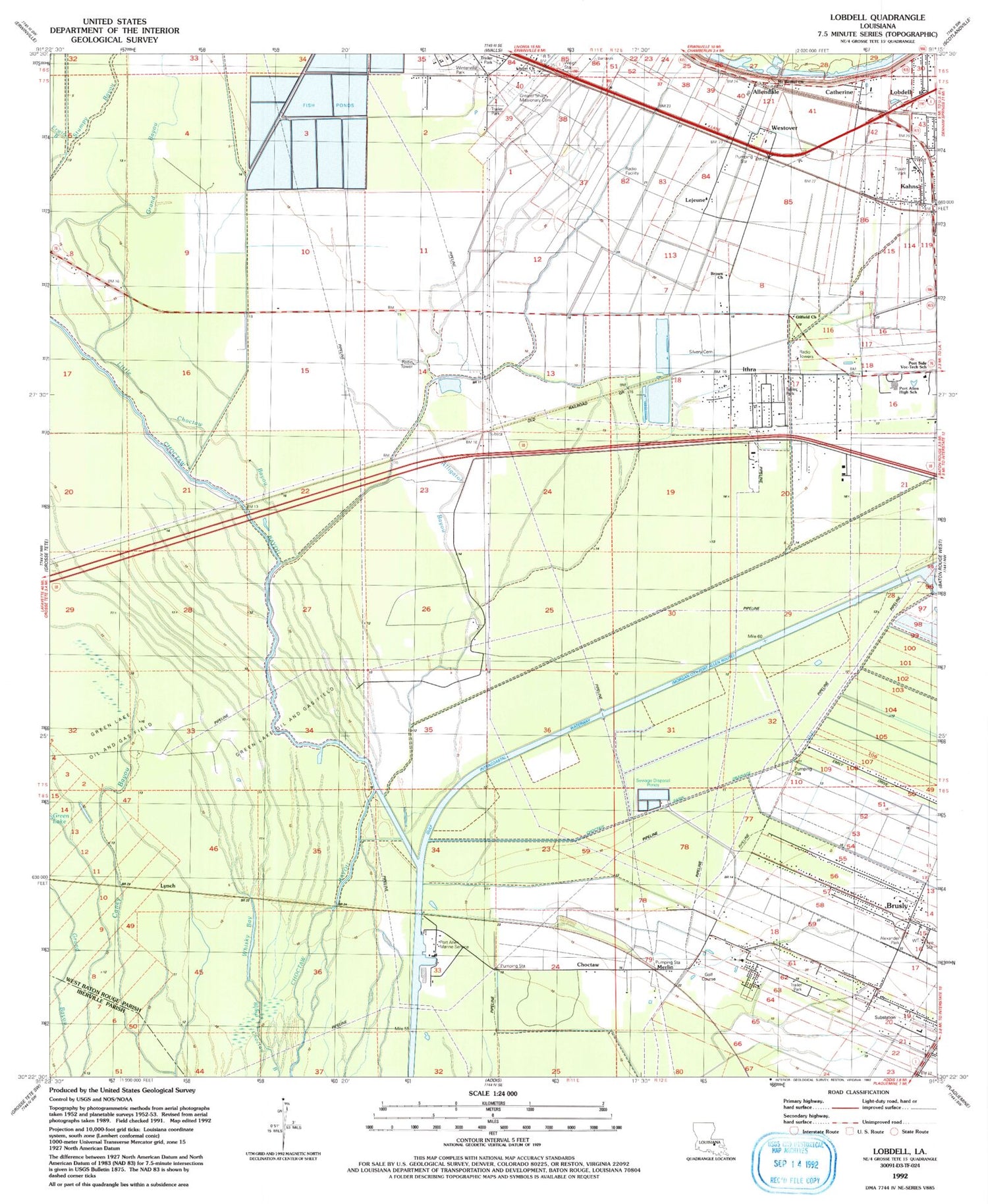
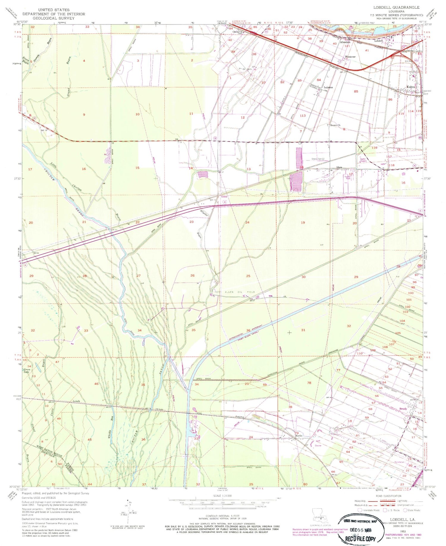
Classic USGS Lobdell Louisiana 7.5'x7.5' Topo Map
Couldn't load pickup availability
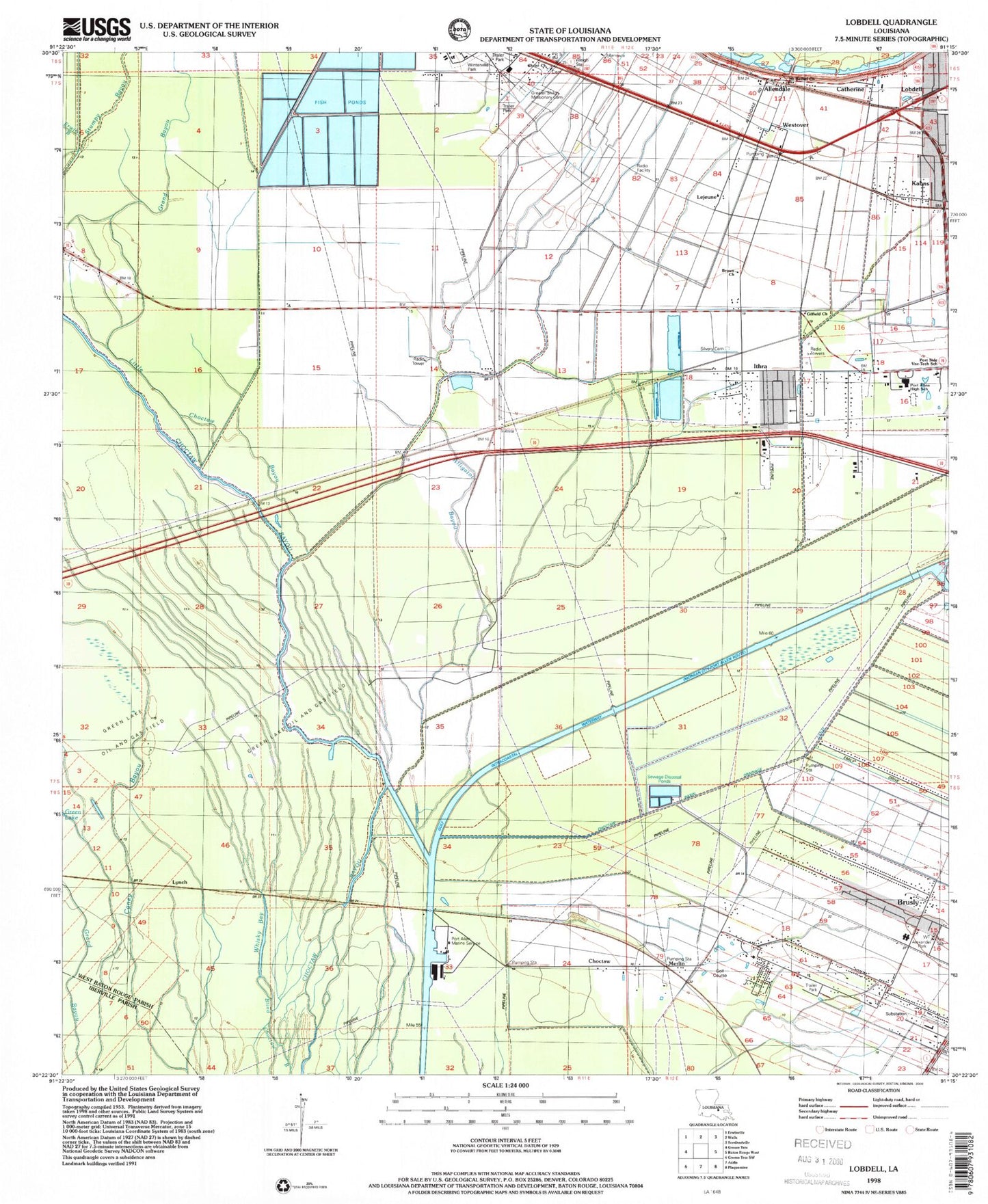
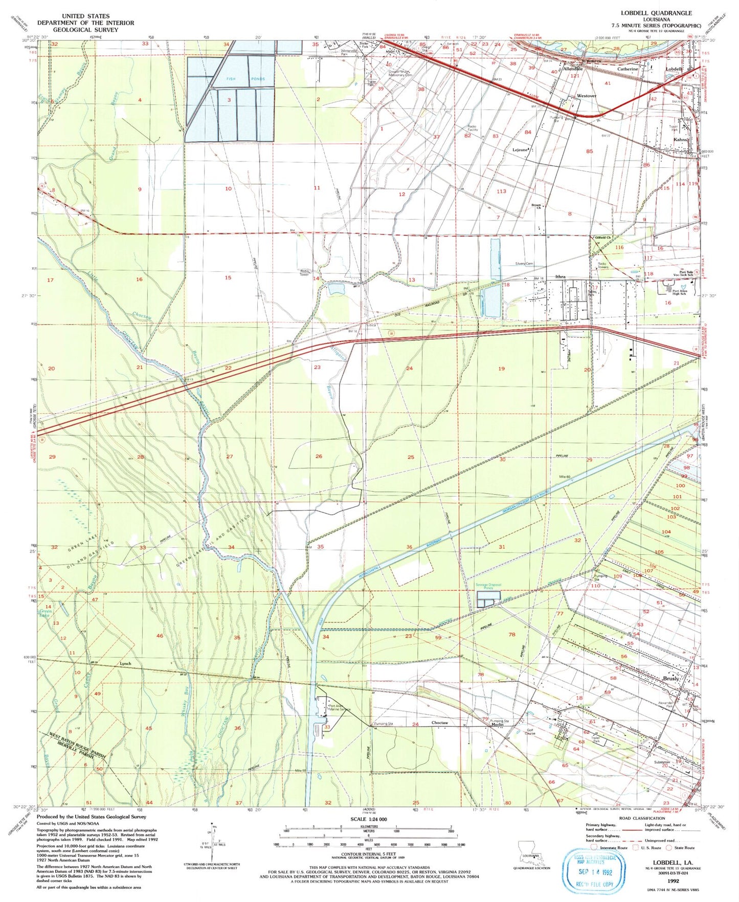
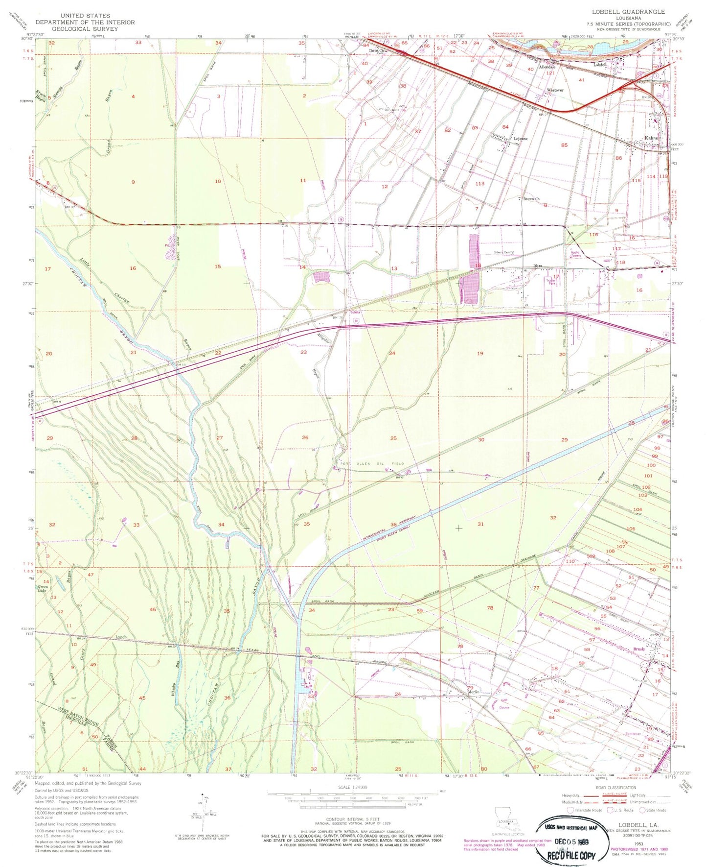
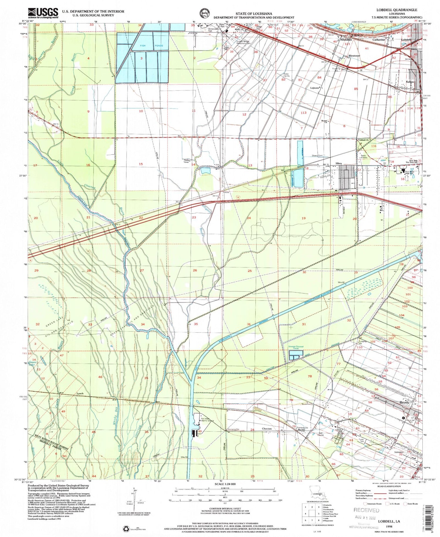
Historical USGS topographic quad map of Lobdell in the state of Louisiana. Map scale may vary for some years, but is generally around 1:24,000. Print size is approximately 24" x 27"
This quadrangle is in the following counties: Iberville, West Baton Rouge.
The map contains contour lines, roads, rivers, towns, and lakes. Printed on high-quality waterproof paper with UV fade-resistant inks, and shipped rolled.
Contains the following named places: Alexander Park, Allendale, Allendale Cemetery, Allendale Plantation, Alligator Bayou, Barroza Plantation, Baton Rouge Community College, Belle Vale Plantation, Brown Church, Brusly, Brusly Elementary School, Brusly Wastewater Treatment Facility, Catherine, Charismatic Fellowship Church, Choctaw, Choctaw Basin Drainage Canal, Christ Baptist Church, East Lobdell Gas Field, Erwin Bayou, First Baptist Church, Gifield Baptist Church, Gilfield Church, Grand Bayou, Greater Shiloh Missionary Cemetery, Green Lake Oil and Gas Field, Ithra, Kahns, Landen L Alexander Park, Lejeune, Lida Grove, Little Choctaw Bayou, Lobdell, Lobdell Oil and Gas Field, Lobdell Post Office, Lobdell Station, Lukeville Lane Wastewater Treatment Plant, Lynch, Merlin, Morley, Mount Bethel Church, Parish Governing Authority District 2, Port Allen Canal, Port Allen Fire Department Station 3, Port Allen High School, Port Allen Marine Service, Port Allen Oil Field, Saint Catherine Cemetery, Saint Catherine Church, Saint Rock Church, Silvery Cemetery, Town of Brusly, West Baton Rouge Parish, West Baton Rouge Vocational Skills Center, West Side Golf Course, Westover, Westover Cemetery, Whisky Bay, Wilbert, Winterville Park, WJBO-AM (Baton Rouge), WLUX-AM (Port Allen), WTGE-FM (Baton Rouge), ZIP Code: 70767
