MyTopo
Classic USGS Lobelia North Carolina 7.5'x7.5' Topo Map
Couldn't load pickup availability
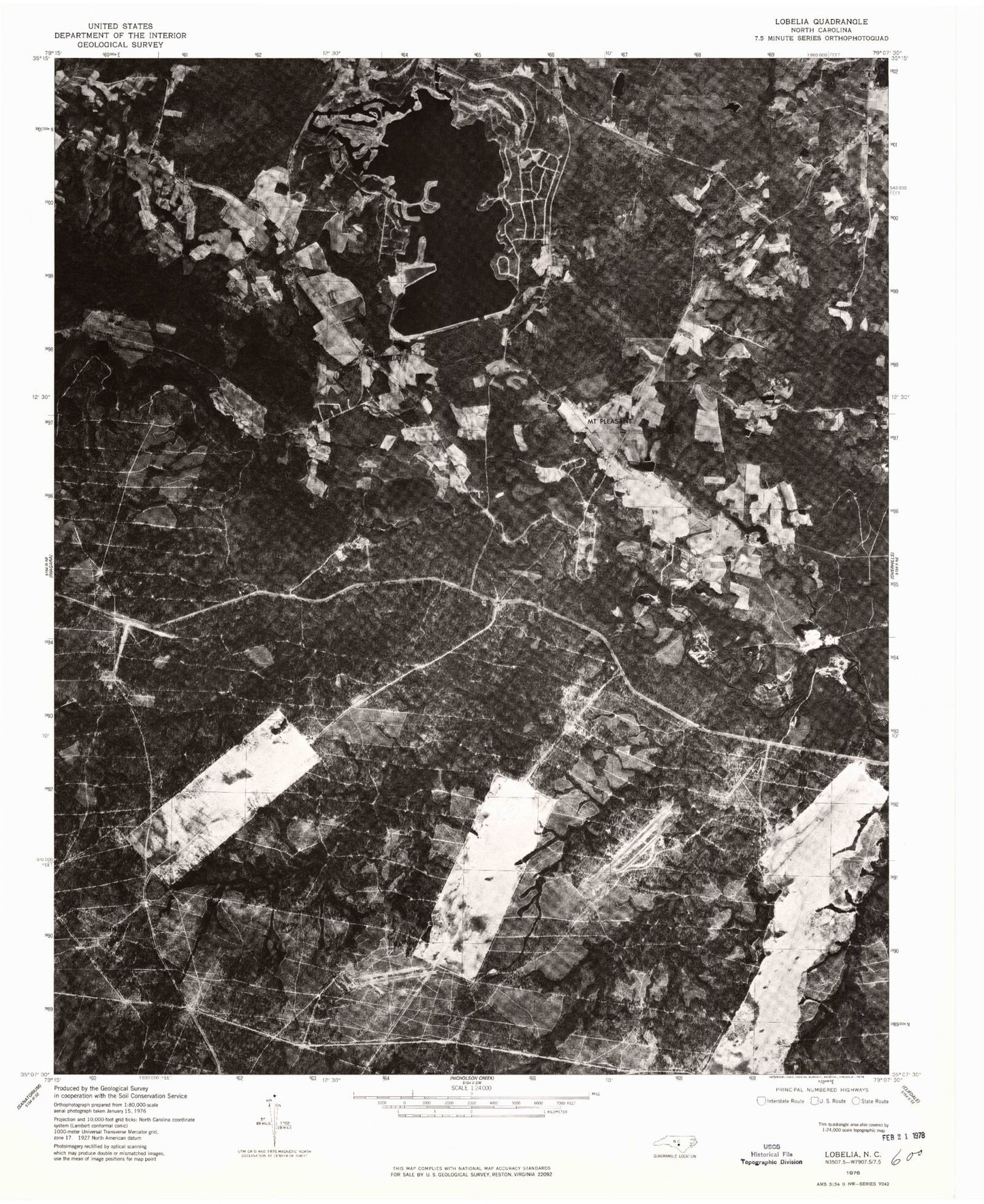
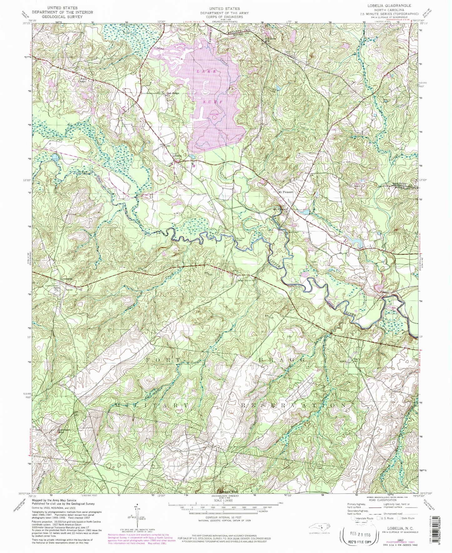
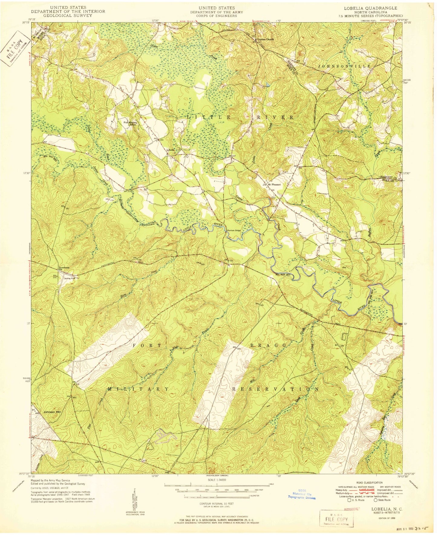
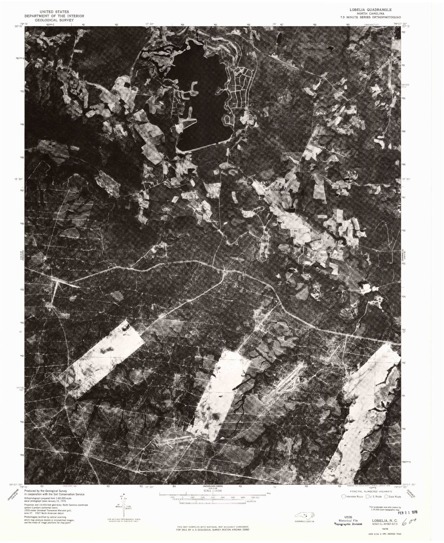
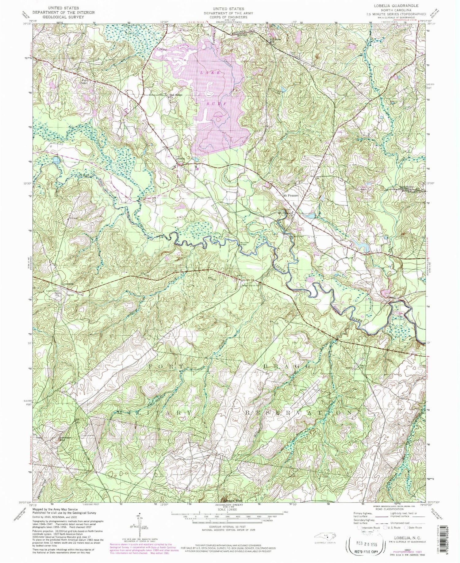
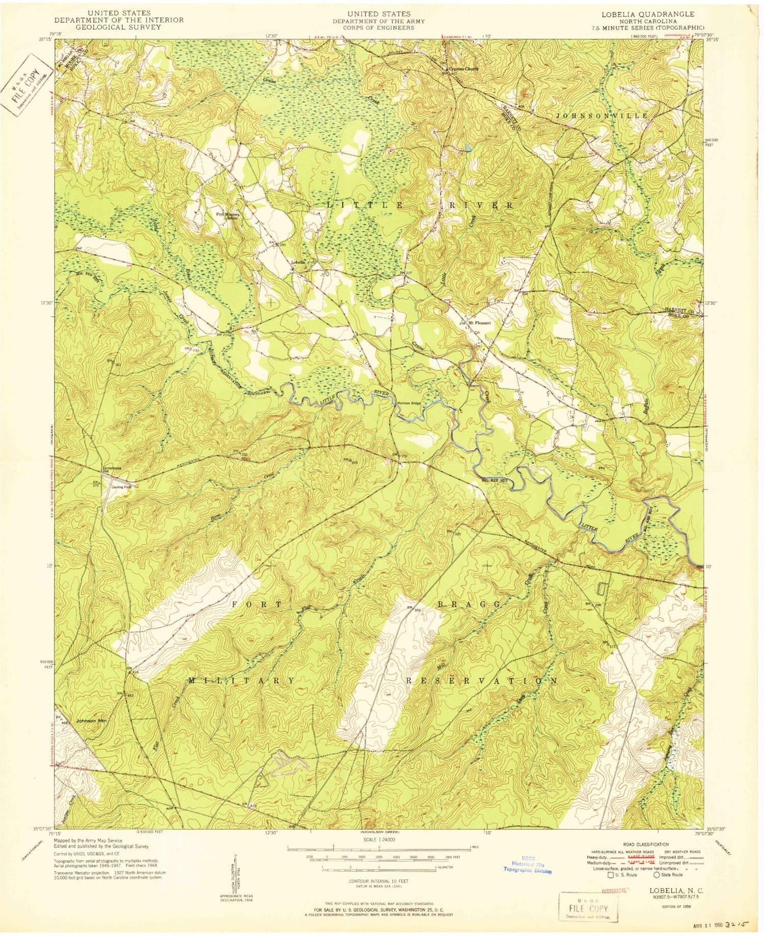
Historical USGS topographic quad map of Lobelia in the state of North Carolina. Typical map scale is 1:24,000, but may vary for certain years, if available. Print size: 24" x 27"
This quadrangle is in the following counties: Harnett, Hoke, Moore.
The map contains contour lines, roads, rivers, towns, and lakes. Printed on high-quality waterproof paper with UV fade-resistant inks, and shipped rolled.
Contains the following named places: Buffalo Creek, Cypress Church, Cypress Creek, Deep Creek, Flat Creek, Frys Chapel, Horse Creek, James Creek, Little Creek, Mill Creek, Morrison Bridge, Mount Pleasant, Mount Pleasant Church, Oak Ridge Church, Tuckahoe Creek, E M Simpson Dam, E L Hendrick Dam, Lake Surf, Lake Surf Dam, Inverness, Crane Creek, Johnson Mountain, Lobelia, Ranger Station Number 3, Township 10-Little River, Cypress Pointe Fire and Rescue Station 3 - Woodlake, Crains Creek Fire Department, Buffalo Creek, Cypress Church, Cypress Creek, Deep Creek, Flat Creek, Frys Chapel, Horse Creek, James Creek, Little Creek, Mill Creek, Morrison Bridge, Mount Pleasant, Mount Pleasant Church, Oak Ridge Church, Tuckahoe Creek, E M Simpson Dam, E L Hendrick Dam, Lake Surf, Lake Surf Dam, Inverness, Crane Creek, Johnson Mountain, Lobelia, Ranger Station Number 3, Township 10-Little River, Cypress Pointe Fire and Rescue Station 3 - Woodlake, Crains Creek Fire Department
