MyTopo
Classic USGS Locate SE Montana 7.5'x7.5' Topo Map
Regular price
$16.95
Regular price
Sale price
$16.95
Unit price
per
Couldn't load pickup availability
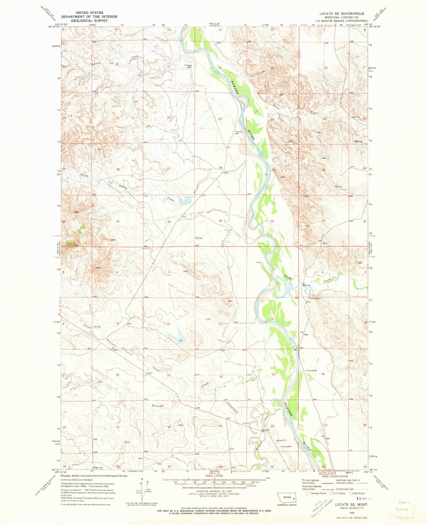
Historical USGS topographic quad map of Locate SE in the state of Montana. Map scale may vary for some years, but is generally around 1:24,000. Print size is approximately 24" x 27"
This quadrangle is in the following counties: Custer.
The map contains contour lines, roads, rivers, towns, and lakes. Printed on high-quality waterproof paper with UV fade-resistant inks, and shipped rolled.
Contains the following named places: 06N51E08DA__01 Well, 06N51E08DADA01 Well, 06N51E14DBCD01 Well, 06N51E24DCDB01 Well, 06N52E07BA__01 Well, 07N51E34AD__01 Well, Hay Creek, Horse Creek, Laney Creek, Mizpah Creek, North Strevell Creek, Scott Number 2 Dam, Sheep Creek, South Laney Creek, Strevell Creek