MyTopo
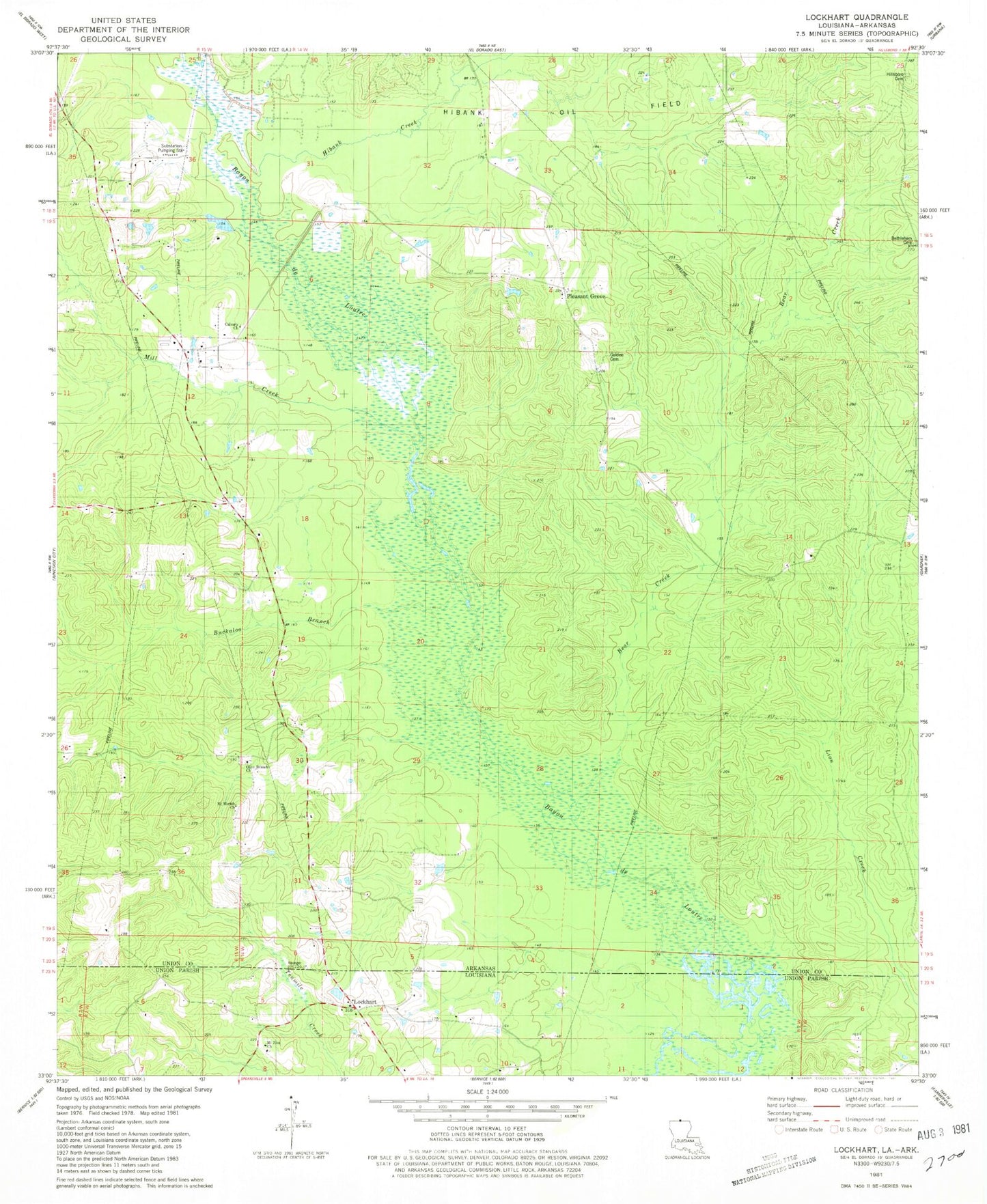
Classic USGS Lockhart Louisiana 7.5'x7.5' Topo Map
Couldn't load pickup availability
Historical USGS topographic quad map of Lockhart in the states of Louisiana, Arkansas. Map scale may vary for some years, but is generally around 1:24,000. Print size is approximately 24" x 27"
This quadrangle is in the following counties: Union.
The map contains contour lines, roads, rivers, towns, and lakes. Printed on high-quality waterproof paper with UV fade-resistant inks, and shipped rolled.
Contains the following named places: Bear Creek, Bethlehem Cemetery, Buckaloo Branch, Calvary Church, Ford and Golden Cemetery, Golden School, Hibank Church, Hibank Creek, Hibank Oil Field, Hibanks Volunteer Fire Department, Hillsboro Cemetery, Lockhart, Mill Creek, Mount Moriah Church, Mount Zion Church, Olive Branch Cemetery, Olive Branch United Methodist Church, Pleasant Grove, Pleasant Grove Church