MyTopo
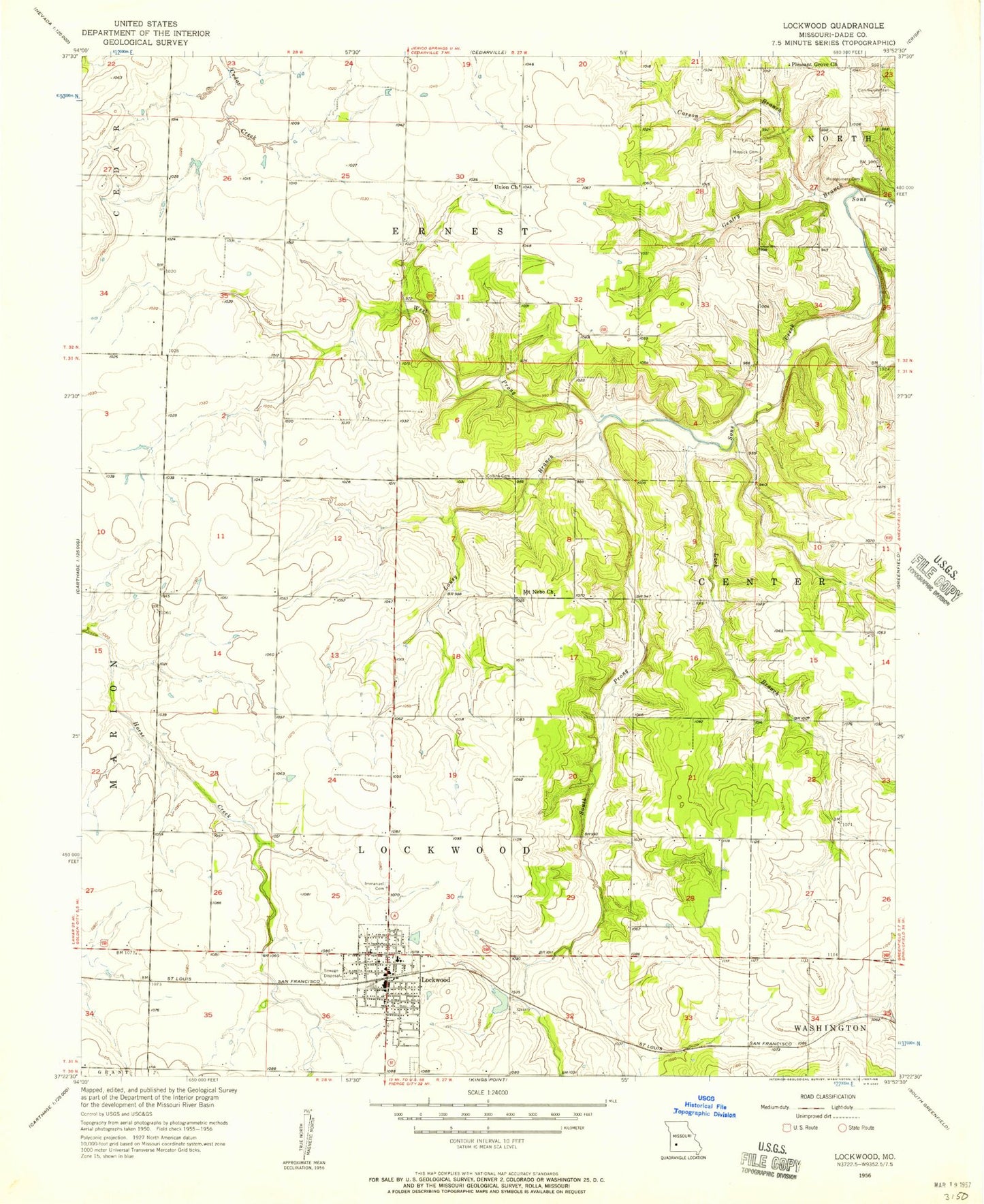
Classic USGS Lockwood Missouri 7.5'x7.5' Topo Map
Couldn't load pickup availability
Historical USGS topographic quad map of Lockwood in the state of Missouri. Map scale may vary for some years, but is generally around 1:24,000. Print size is approximately 24" x 27"
This quadrangle is in the following counties: Dade.
The map contains contour lines, roads, rivers, towns, and lakes. Printed on high-quality waterproof paper with UV fade-resistant inks, and shipped rolled.
Contains the following named places: Carson Branch, Chalk Level School, City of Lockwood, Collins Cemetery, Coose Field, Dumbeck, Elm Limb School, Franklin School, Gentry Branch, Gentry School, Grays Valley, Immanuel Cemetery, KXBR-FM (Greenfield), Lack Branch, Liberty School, Lockwood, Lockwood Cemetery, Lockwood Elementary School, Lockwood Fire Department, Lockwood High School, Lockwood Police Department, Lockwood Post Office, Lousy Branch, Messick Cemetery, Montgomery Cemetery, Mount Nebo Church, Number 790 Dam, Oak Dale School, Oak Grove School, Pleasant Grove Church, Rocky Hill School, Shannon Valley School, Sims Point, South Prong Sons Creek, Tabernacle School, Township of Ernest, Township of Lockwood, Union Church, West Prong Sons Creek, Woodfield Airpark Inc, ZIP Code: 65682