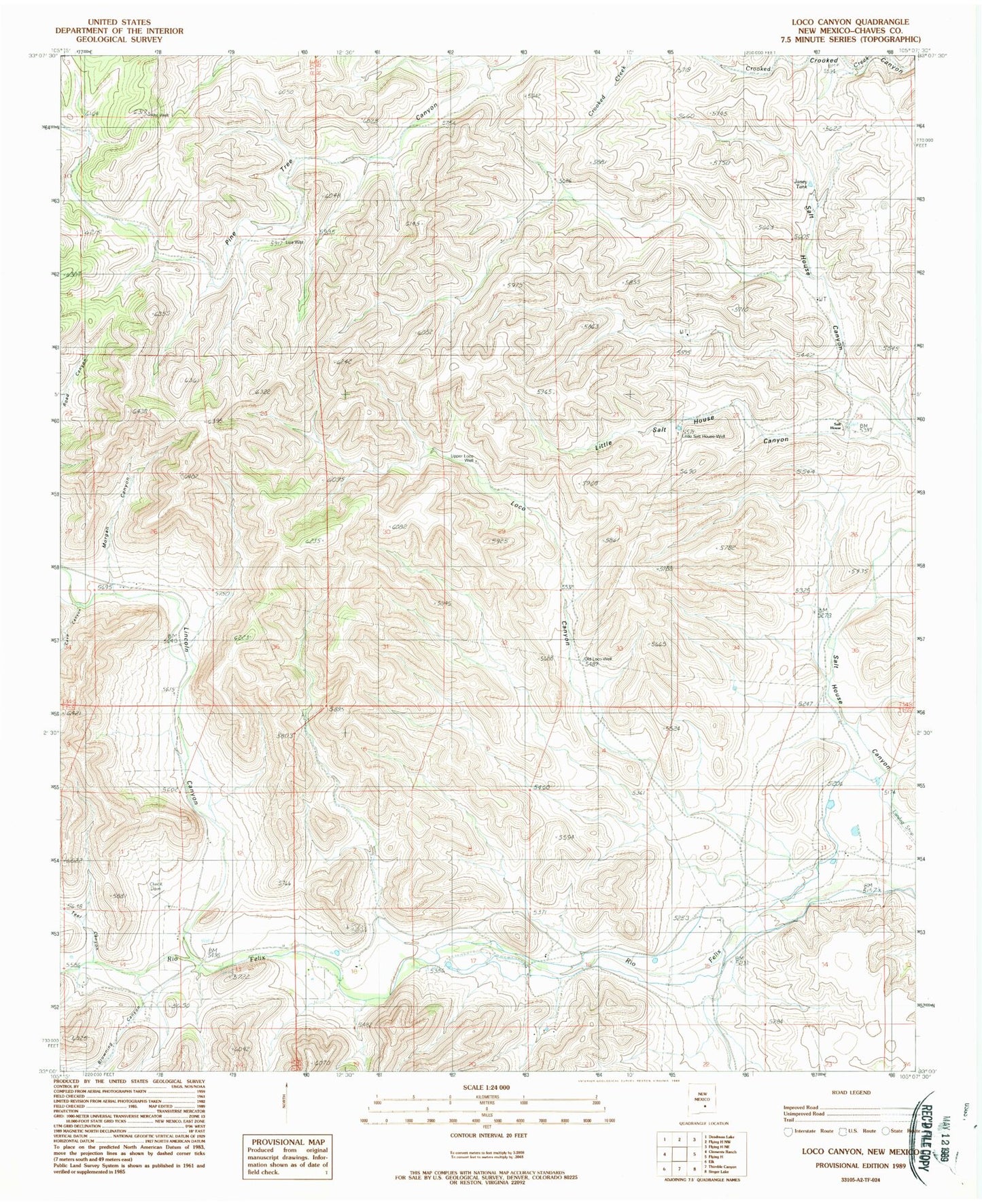
MyTopo
Classic USGS Loco Canyon New Mexico 7.5'x7.5' Topo Map
Couldn't load pickup availability
Historical USGS topographic quad map of Loco Canyon in the state of New Mexico. Map scale may vary for some years, but is generally around 1:24,000. Print size is approximately 24" x 27"
This quadrangle is in the following counties: Chaves.
The map contains contour lines, roads, rivers, towns, and lakes. Printed on high-quality waterproof paper with UV fade-resistant inks, and shipped rolled.
Contains the following named places: Alto Well, Browning Canyon, Cave Canyon, Felix Canyon, Funk, Janey Tank, Joy Ranch, Lincoln Canyon, Little Salt House Canyon, Little Salt House Well, Loco Canyon, Luis Well, Morgan Canyon, Old Loco Well, R Vandewart Ranch, Rio Felix Volunteer Fire Department, Salt House, Upper Loco Well