MyTopo
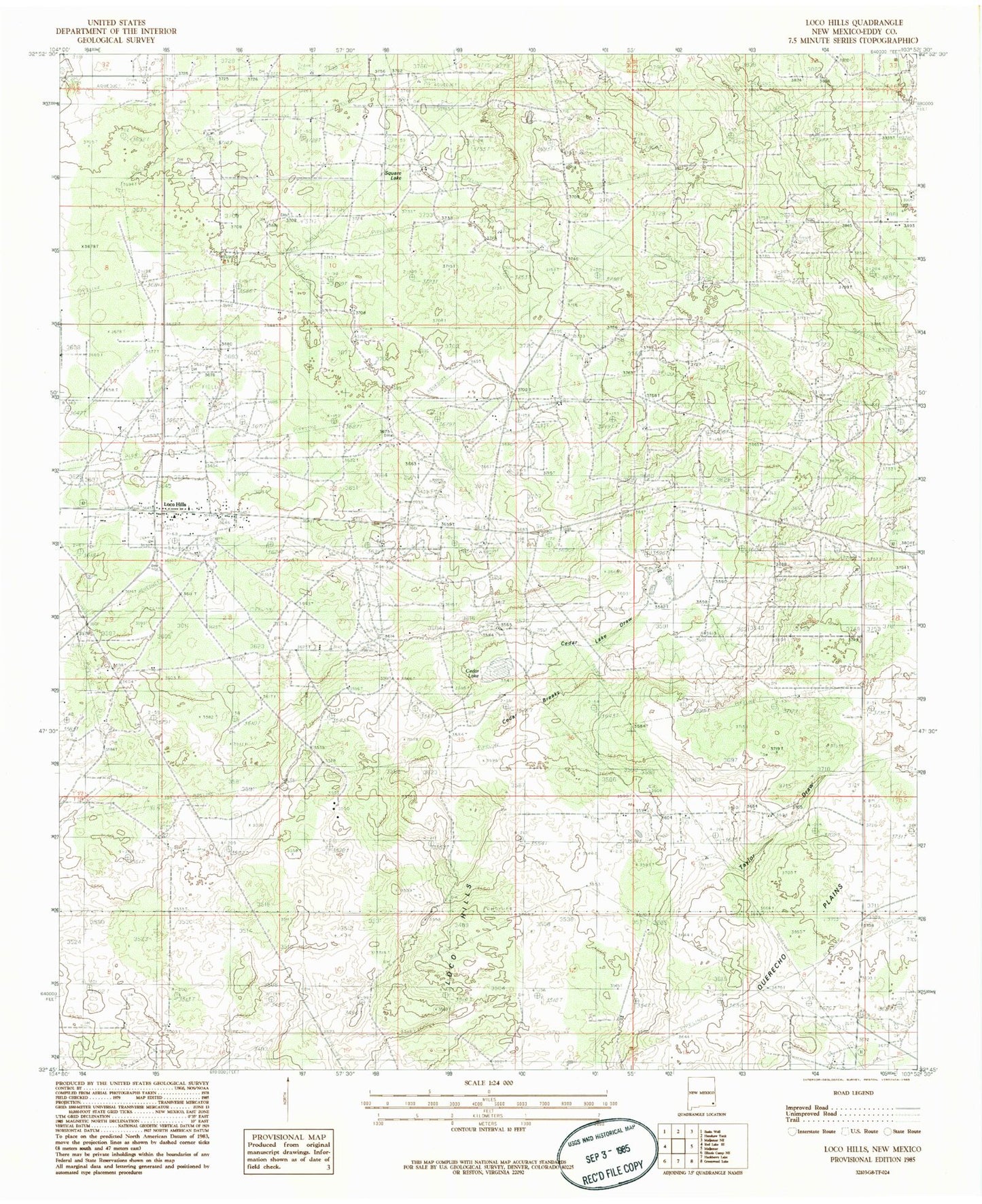
Classic USGS Loco Hills New Mexico 7.5'x7.5' Topo Map
Couldn't load pickup availability
Historical USGS topographic quad map of Loco Hills in the state of New Mexico. Map scale may vary for some years, but is generally around 1:24,000. Print size is approximately 24" x 27"
This quadrangle is in the following counties: Eddy.
The map contains contour lines, roads, rivers, towns, and lakes. Printed on high-quality waterproof paper with UV fade-resistant inks, and shipped rolled.
Contains the following named places: Beeson Station, Booker Camp, Cedar Breaks, Cedar Lake, Cedar Lake Draw, First Baptist Church, Fren Oil Field, Greyburg Jackson Oil Field, Loco Hills, Loco Hills Census Designated Place, Loco Hills Landing Field, Loco Hills Oil Field, Loco Hills Post Office, Loco Hills Volunteer Fire Department, North Windfohr and Brown Camp Number 1, Premier Oil Field, Square Lake Oil Field, ZIP Code: 88255