MyTopo
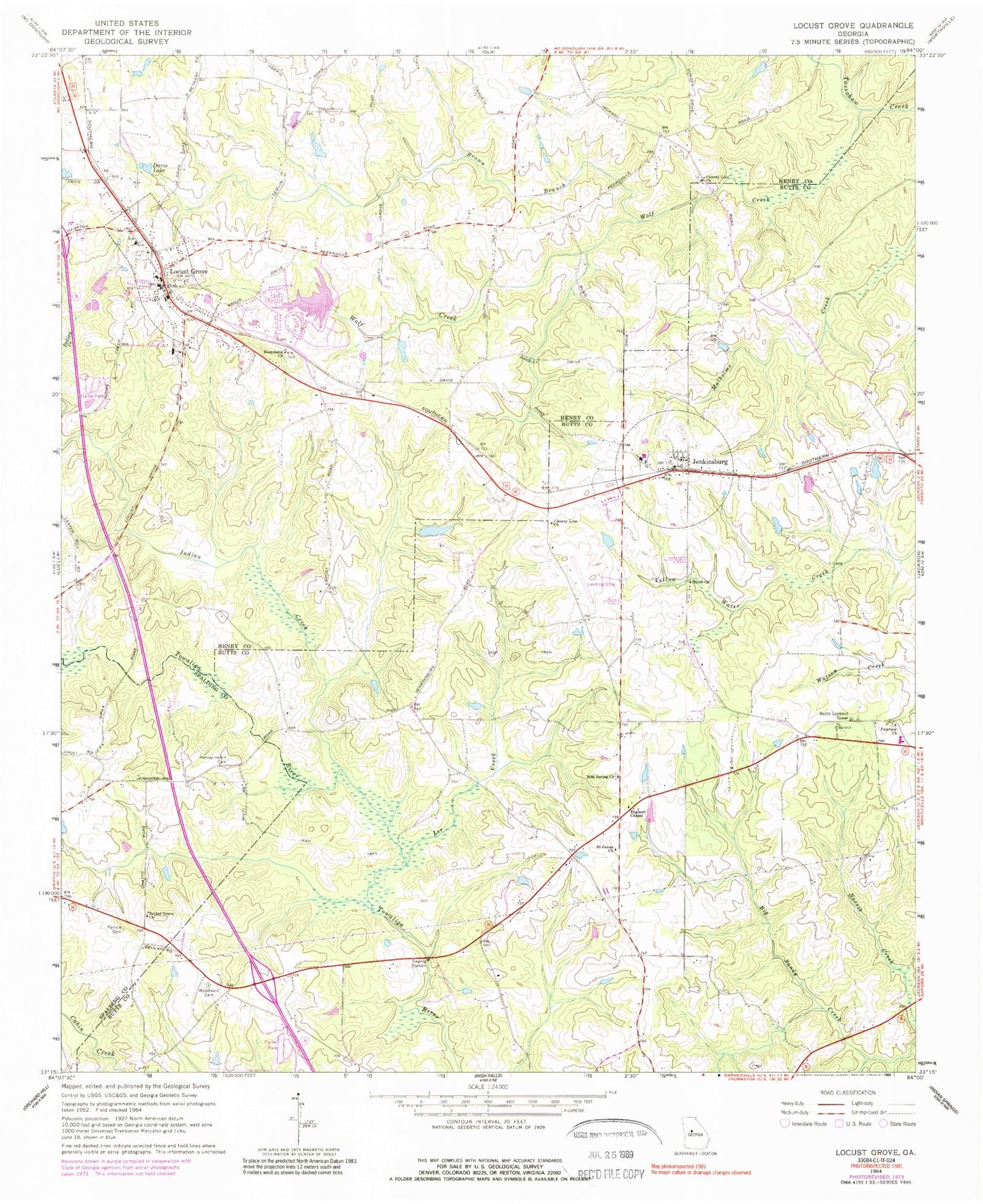
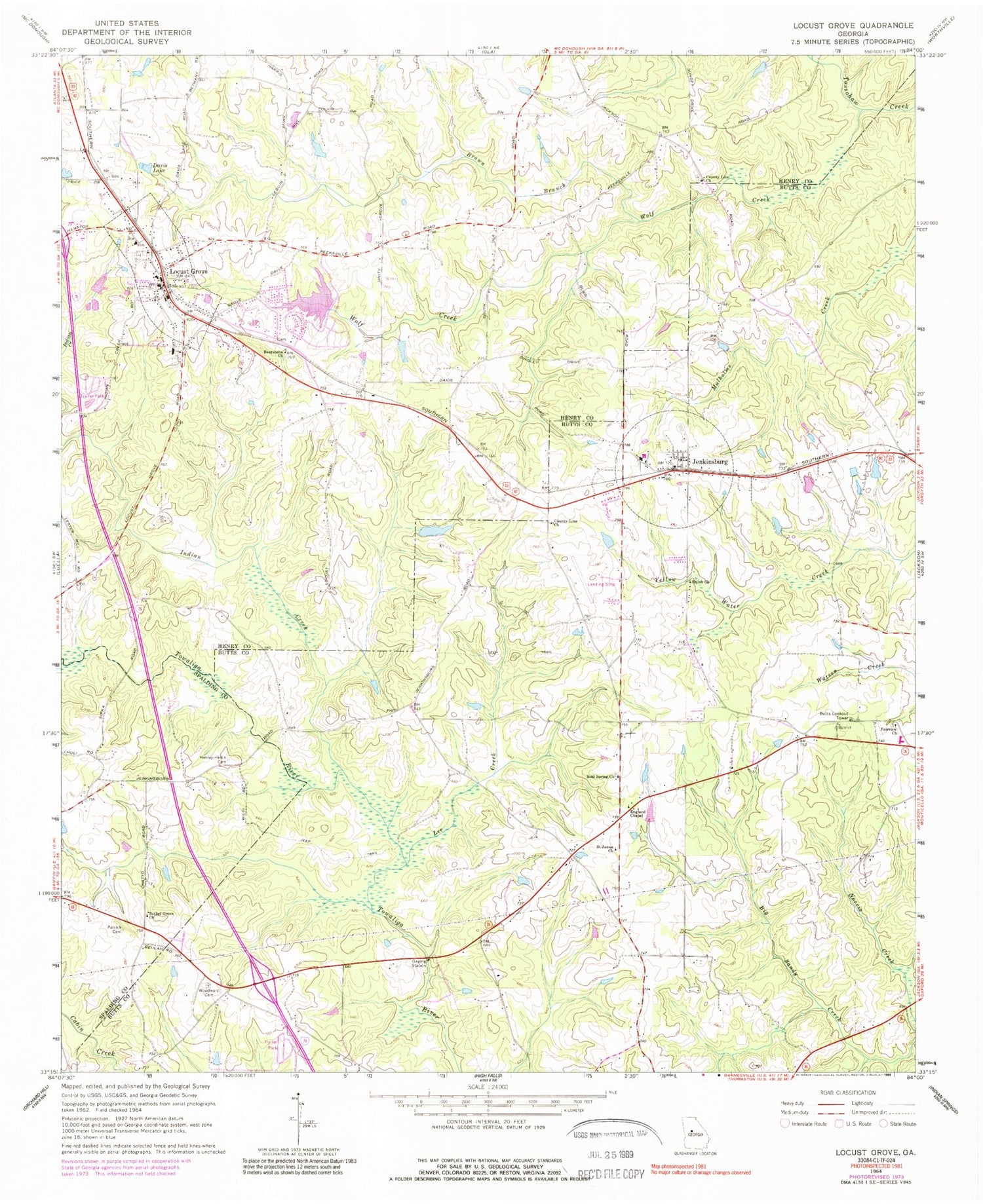
Classic USGS Locust Grove Georgia 7.5'x7.5' Topo Map
Couldn't load pickup availability
Historical USGS topographic quad map of Locust Grove in the state of Georgia. Map scale may vary for some years, but is generally around 1:24,000. Print size is approximately 24" x 27"
This quadrangle is in the following counties: Butts, Henry, Spalding.
The map contains contour lines, roads, rivers, towns, and lakes. Printed on high-quality waterproof paper with UV fade-resistant inks, and shipped rolled.
Contains the following named places: Antioch Church, Beersheba Primitive Baptist Church, Ben Ammons Airport, Bethel Grove Church, Bold Spring Church, Bold Spring Church Cemetery, Brown Branch, Butts County Volunteer Fire Department Station 7, Butts Lookout Tower, City of Jenkinsburg, City of Locust Grove, Collins Lake, Collins Lake Dam, County Line Church, Daughtry Elementary School, Davis Lake, Delta Grove School, England Chapel, Fairview Church, Fairview Church Cemetery, Henley - Heflin Cemetery, Henry County Fire Department Station 2, Henry County Police Department Tanger Substation, Hetrick Lake, Hetrick Lake Dam, Indian Creek, Jenkinsburg, Jenkinsburg Church Cemetery, Jenkinsburg Division, Jenkinsburg Fire Department Station 4, Jenkinsburg Police Department, Jenkinsburg Post Office, Lee Creek, Locust Grove, Locust Grove City Cemetery, Locust Grove City Hall, Locust Grove Elementary School, Locust Grove Police Department, Locust Grove Post Office, Oak Grove School, Patrick Cemetery, Rock Church, Saint James Church, Shiloh Church, Shoal Creek Church Cemetery, Skyland Lake, Southern States Lake, Southern States Lake Dam, Spears Ford, Unity Grove Elementary School, Winns Bridge, Wolf Creek, ZIP Codes: 30234, 30248


