MyTopo
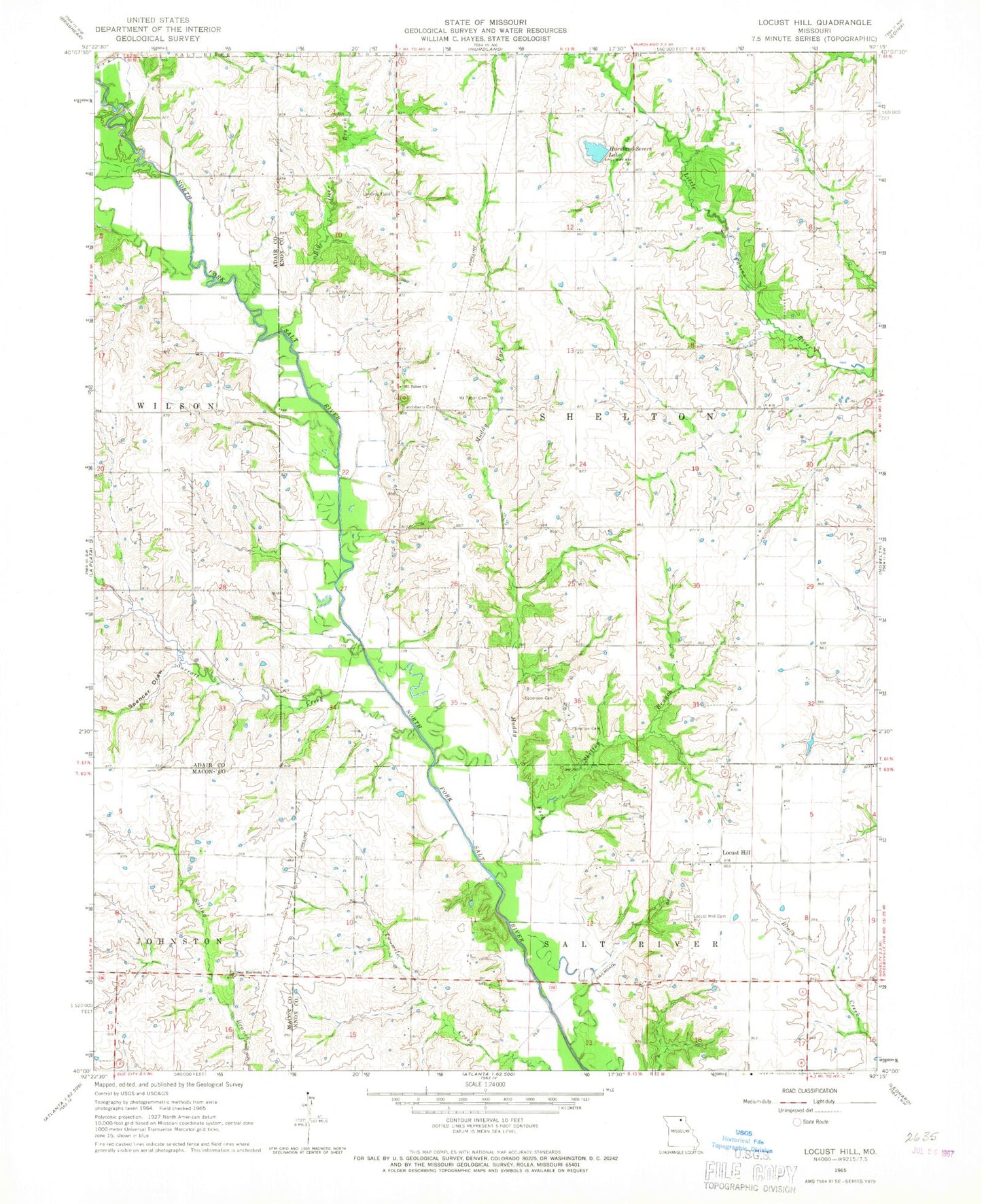
Classic USGS Locust Hill Missouri 7.5'x7.5' Topo Map
Couldn't load pickup availability
Historical USGS topographic quad map of Locust Hill in the state of Missouri. Map scale may vary for some years, but is generally around 1:24,000. Print size is approximately 24" x 27"
This quadrangle is in the following counties: Adair, Knox, Macon.
The map contains contour lines, roads, rivers, towns, and lakes. Printed on high-quality waterproof paper with UV fade-resistant inks, and shipped rolled.
Contains the following named places: Big Deer Branch, Bitler School, Epperson Cemetery, Fairview School, Feltz's Bridge, Gelbach Farms Lake, Gelbach Farms Lake Dam, Hall Airport, Harrison Airport, Hurdland Severs Lake, Hurdland Severs Lake Dam, Lansberry Cemetery, Locust Hill, Locust Hill Cemetery, Locust Hill Church, Mount Taber Church, Mount Tabor Cemetery, Mount Vernon School, Muddy Fork, New Harmony Church, Pinkston School, Prairie View School, Shelton Branch, Shelton Cemetery, Spencer Draw, Star School, Surratt Creek, Township of Shelton, Van Horn School