MyTopo
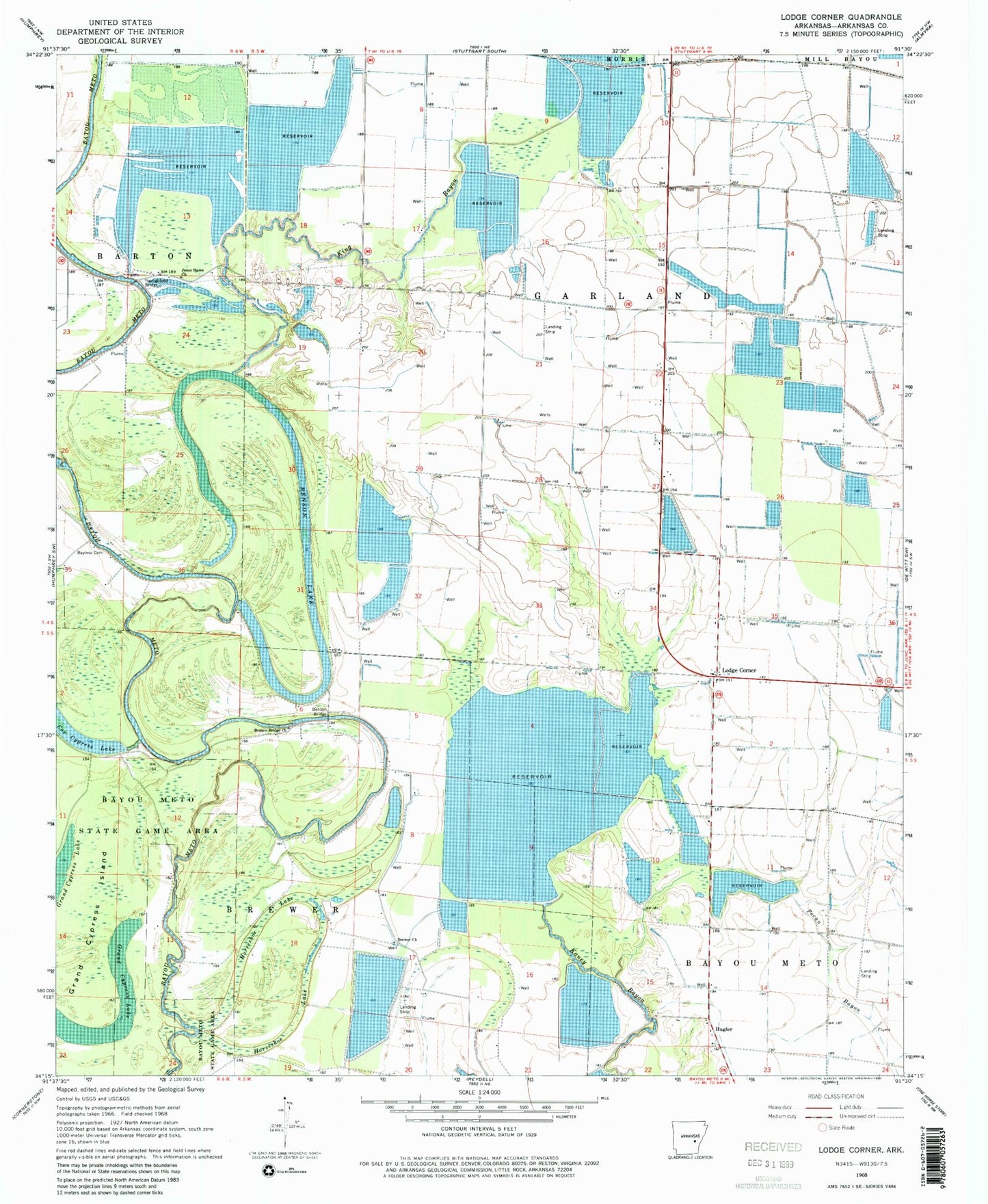
Classic USGS Lodge Corner Arkansas 7.5'x7.5' Topo Map
Couldn't load pickup availability
Historical USGS topographic quad map of Lodge Corner in the state of Arkansas. Map scale may vary for some years, but is generally around 1:24,000. Print size is approximately 24" x 27"
This quadrangle is in the following counties: Arkansas.
The map contains contour lines, roads, rivers, towns, and lakes. Printed on high-quality waterproof paper with UV fade-resistant inks, and shipped rolled.
Contains the following named places: Bayless Cemetery, Benson Bridge, Benson Bridge Church, Benson Lake, Brewer Church, Brewer School, Cox Reservoir, Ditch Number 15, Grand Cypress Island, Hagler, Hamptons Reservoir, Horseshoe Lake, Jesus Name Church, King Bayou, Lodge Corner, One Horse Volunteer Fire Department Substation, Red Hill School, Stillwell School, Township of Garland, Wilson Reservoir, Youngblood Bridge