MyTopo
Classic USGS Lodge Grass NE Montana 7.5'x7.5' Topo Map
Regular price
$16.95
Regular price
Sale price
$16.95
Unit price
per
Couldn't load pickup availability
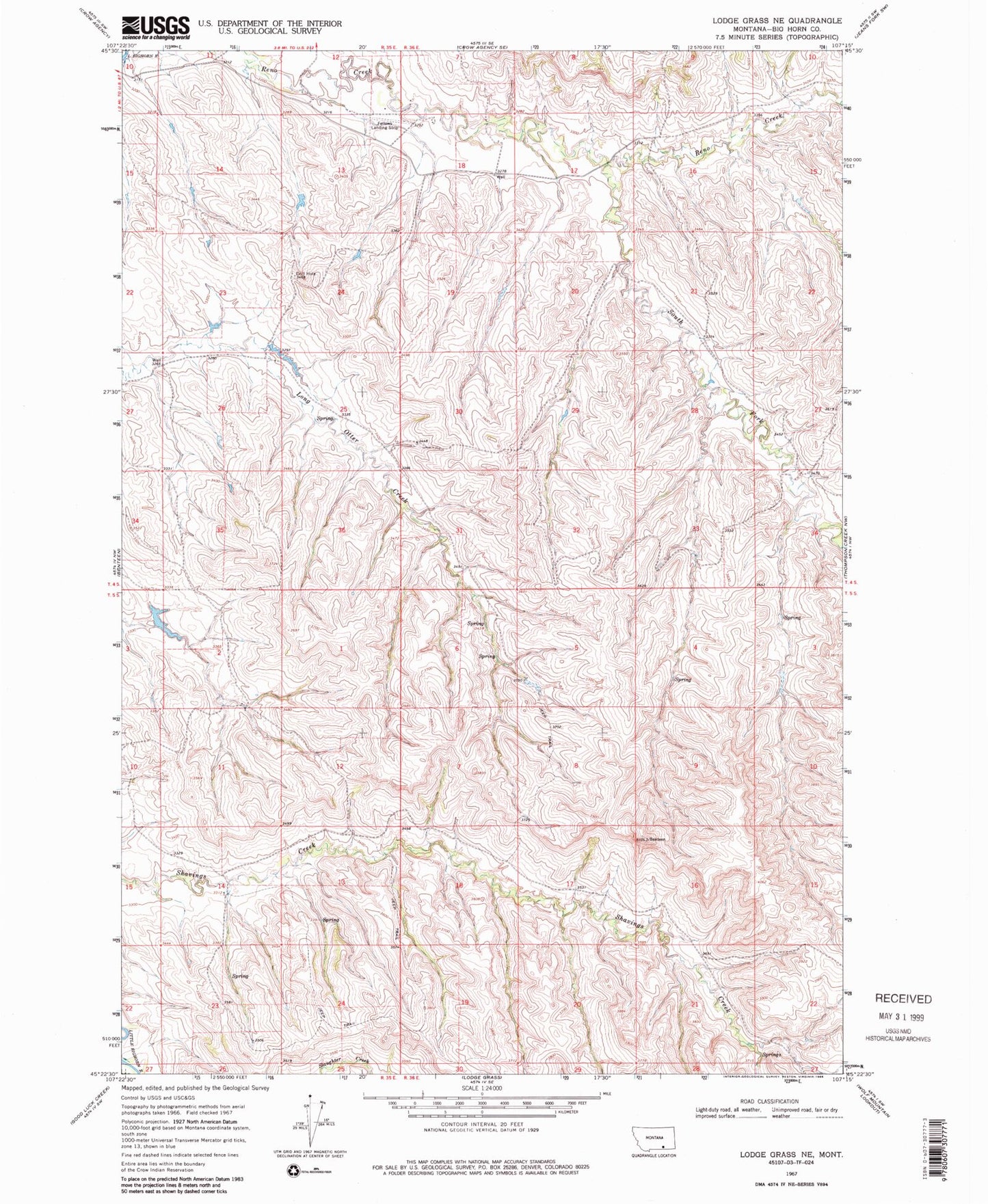
Historical USGS topographic quad map of Lodge Grass NE in the state of Montana. Map scale may vary for some years, but is generally around 1:24,000. Print size is approximately 24" x 27"
This quadrangle is in the following counties: Big Horn.
The map contains contour lines, roads, rivers, towns, and lakes. Printed on high-quality waterproof paper with UV fade-resistant inks, and shipped rolled.
Contains the following named places: 04S35E12CDCA01 Well, 04S36E18AADC01 Well, 04S36E18BABC01 Well, 04S36E18BCDD01 Well, 04S36E18DBBA01 Well, 05S35E14CBBA01 Well, Jeffers Number 1 Dam, South Fork Reno Creek