MyTopo
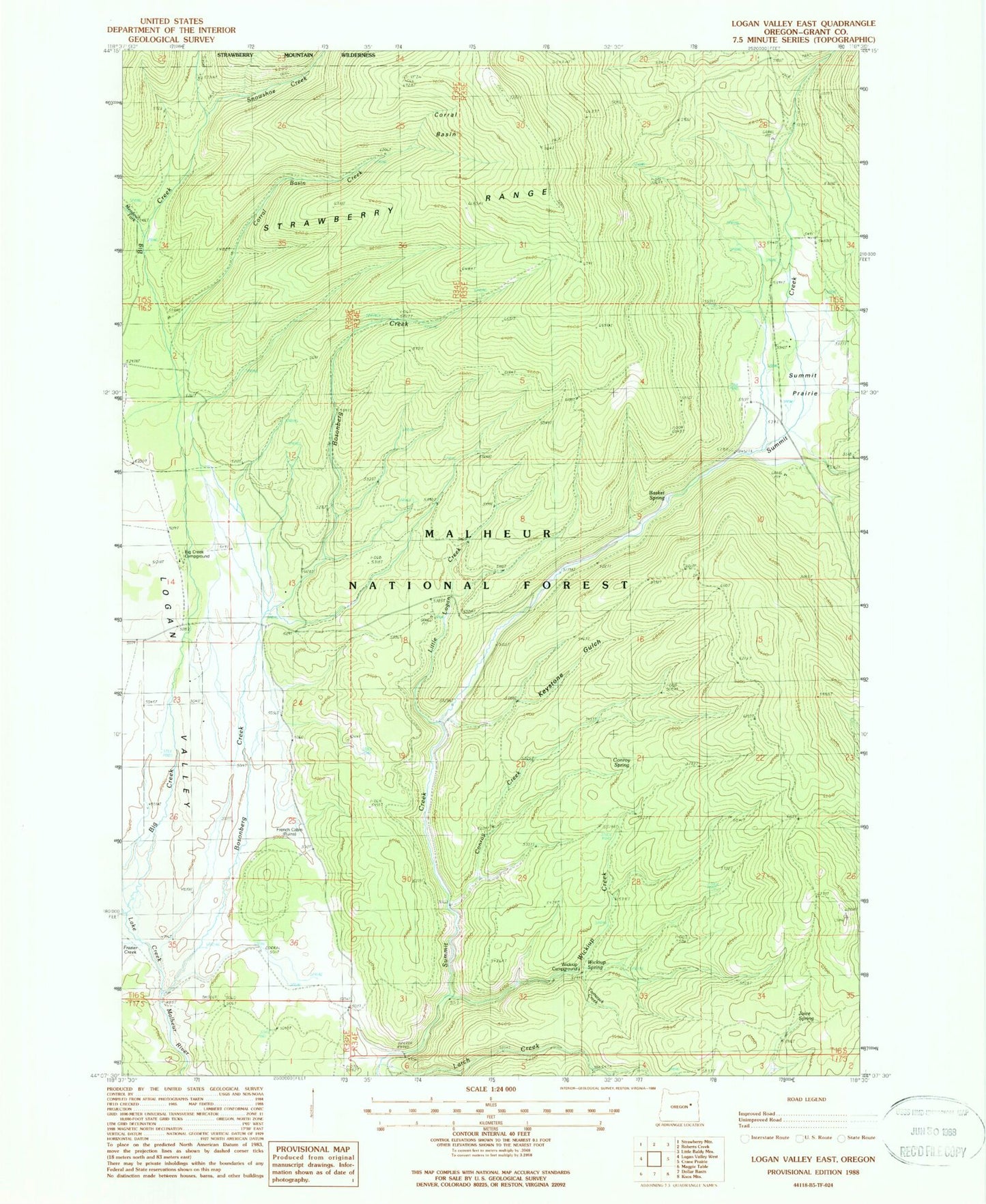
Classic USGS Logan Valley East Oregon 7.5'x7.5' Topo Map
Couldn't load pickup availability
Historical USGS topographic quad map of Logan Valley East in the state of Oregon. Typical map scale is 1:24,000, but may vary for certain years, if available. Print size: 24" x 27"
This quadrangle is in the following counties: Grant.
The map contains contour lines, roads, rivers, towns, and lakes. Printed on high-quality waterproof paper with UV fade-resistant inks, and shipped rolled.
Contains the following named places: French Cabin, Basket Spring, Big Creek Recreation Site, Bosonberg Creek, Conroy Creek, Conroy Spring, Corral Basin, Corral Basin Creek, Joice Spring, Keystone Gulch, Kimberling Cabin (historical), Larch Creek, Little Logan Creek, Logan Valley, Meadow Fork Big Creek, Snowshoe Creek, Summit Prairie, Summit Prairie Truck Barns (historical), Tamarack Creek, Wickiup Campground (historical), Wickiup Creek, Wickiup Spring, Engineers Springs (historical), Snowshoe Camp, Sky Line Camp, Snowshoe Trailhead, Skyline Trailhead


