MyTopo
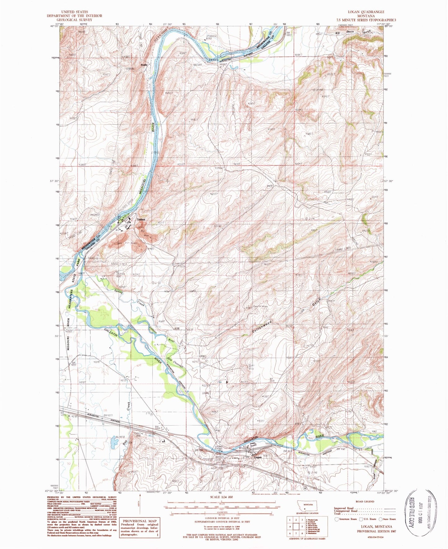
Classic USGS Logan Montana 7.5'x7.5' Topo Map
Couldn't load pickup availability
Historical USGS topographic quad map of Logan in the state of Montana. Map scale may vary for some years, but is generally around 1:24,000. Print size is approximately 24" x 27"
This quadrangle is in the following counties: Broadwater, Gallatin.
The map contains contour lines, roads, rivers, towns, and lakes. Printed on high-quality waterproof paper with UV fade-resistant inks, and shipped rolled.
Contains the following named places: 02N02E09CBDA01 Well, 02N02E15BCDB01 Well, 02N02E17DDCC01 Well, 02N02E20DAC_01 Well, 02N02E20DDCB01 Well, 02N02E21ACDB01 Well, 02N02E22CCC_01 Well, 02N02E27CADD01 Well, 02N02E27CBC_01 Well, 02N02E27CDDC01 Well, 02N02E27DCA_01 Well, 02N02E27DCA_02 Well, 02N02E27DCB_01 Well, 02N02E28BC__01 Well, 02N02E28BCD_01 Well, 02N02E28CADC01 Well, 02N02E28CADC02 Well, 02N02E28CADC03 Well, 02N02E28CADC04 Well, 02N02E28CBDD01 Well, 02N02E29AD__01 Well, 02N02E29DD__01 Well, 02N02E32AAAA01 Well, 02N02E32AAAA02 Well, 02N02E35AB__01 Well, 02N02E35AB__02 Well, 02N02E35AD__01 Well, 02N02E35AD__02 Well, 02N02E35ADDA01 Well, 02N02E35BBB_01 Well, 02N02E35DB__01 Well, 02N02E35DCD_01 Well, 02N02E36BA__01 Well, 02N02E36BB__01 Well, 02N02E36BC__01 Well, 02N02E36BCAA01 Well, 02N03E31CD__01 Spring, 02N03E32AC__01 Spring, Big Davis Gulch, Carpenter, Cottonwood Gulch, Cress Springs, Eustis, Gallatin, Gallatin Post Office, Gallatin River, Green Ranch, Headwaters Cemetery, Logan, Logan Bridge, Logan Cemetery, Logan Census Designated Place, Logan Post Office, Logan School, Missouri Headwaters Campground, Missouri River Headwaters State Park, Moncrete, Northern Pacific Railroad Bridge, Rea, Rekap, Rey Creek, Sinton, Spring Creek, Three Forks Division, Trident, Trident Bridge, Trident Post Office, Trident School, Warm Springs Canal


