
MyTopo
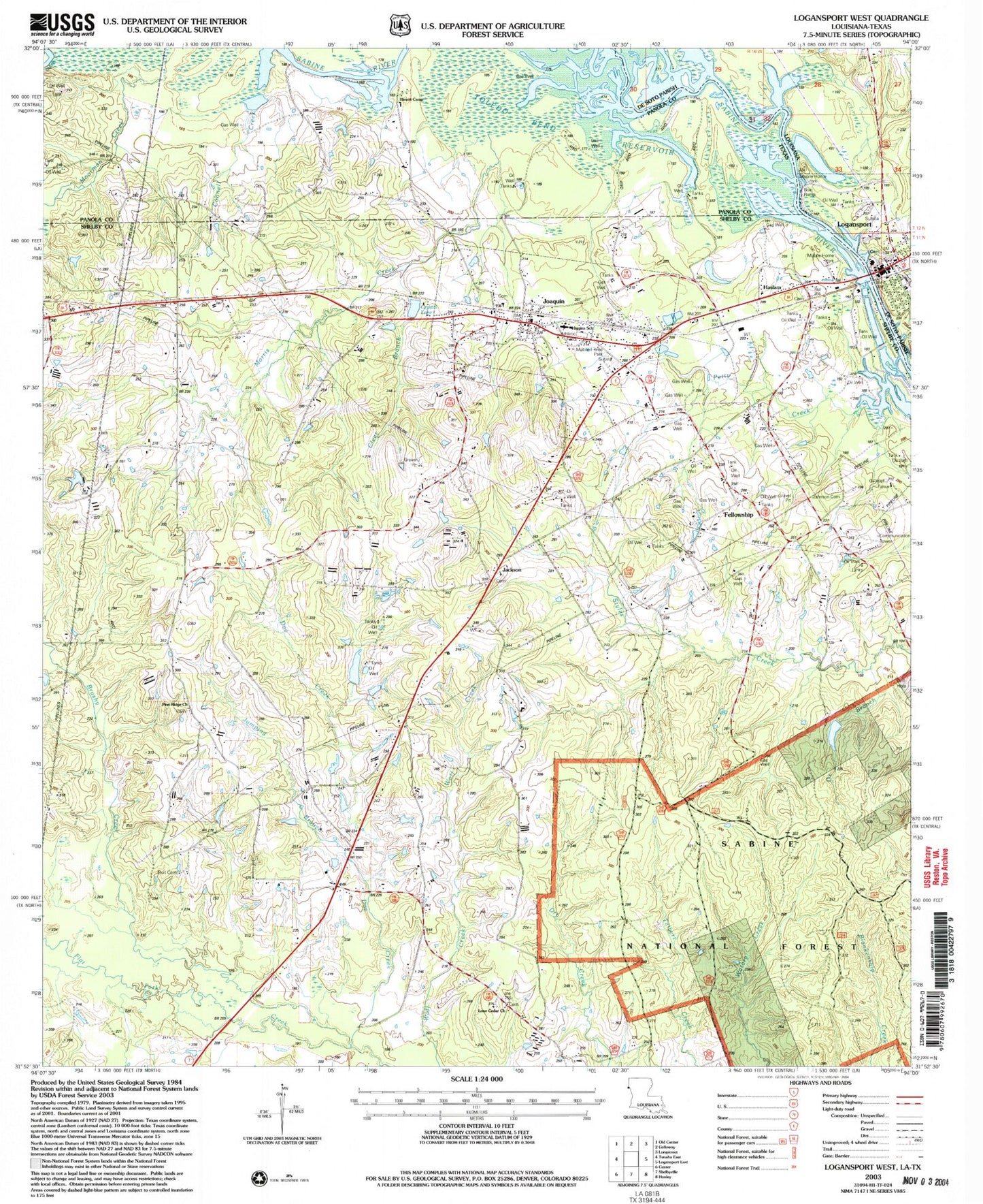
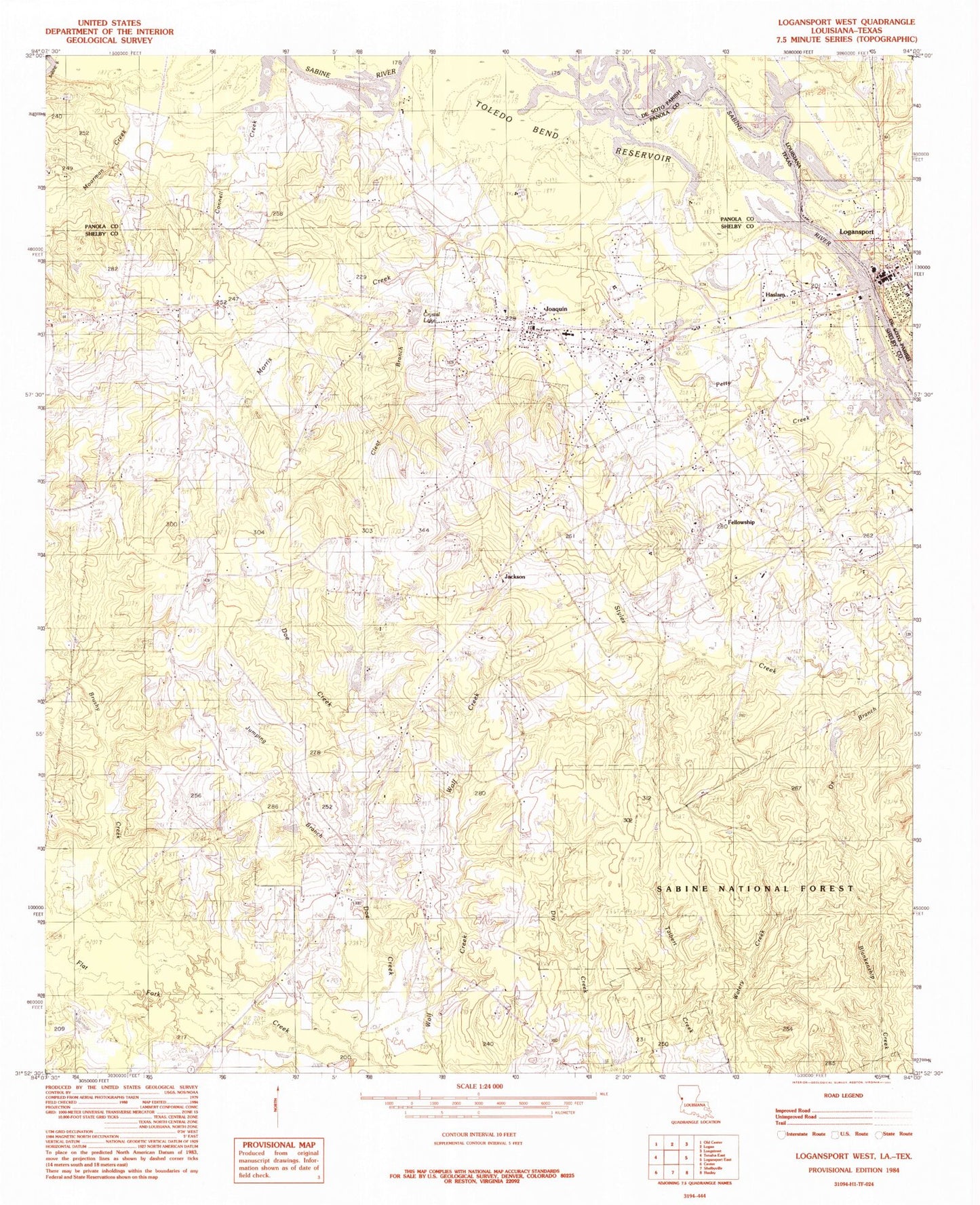
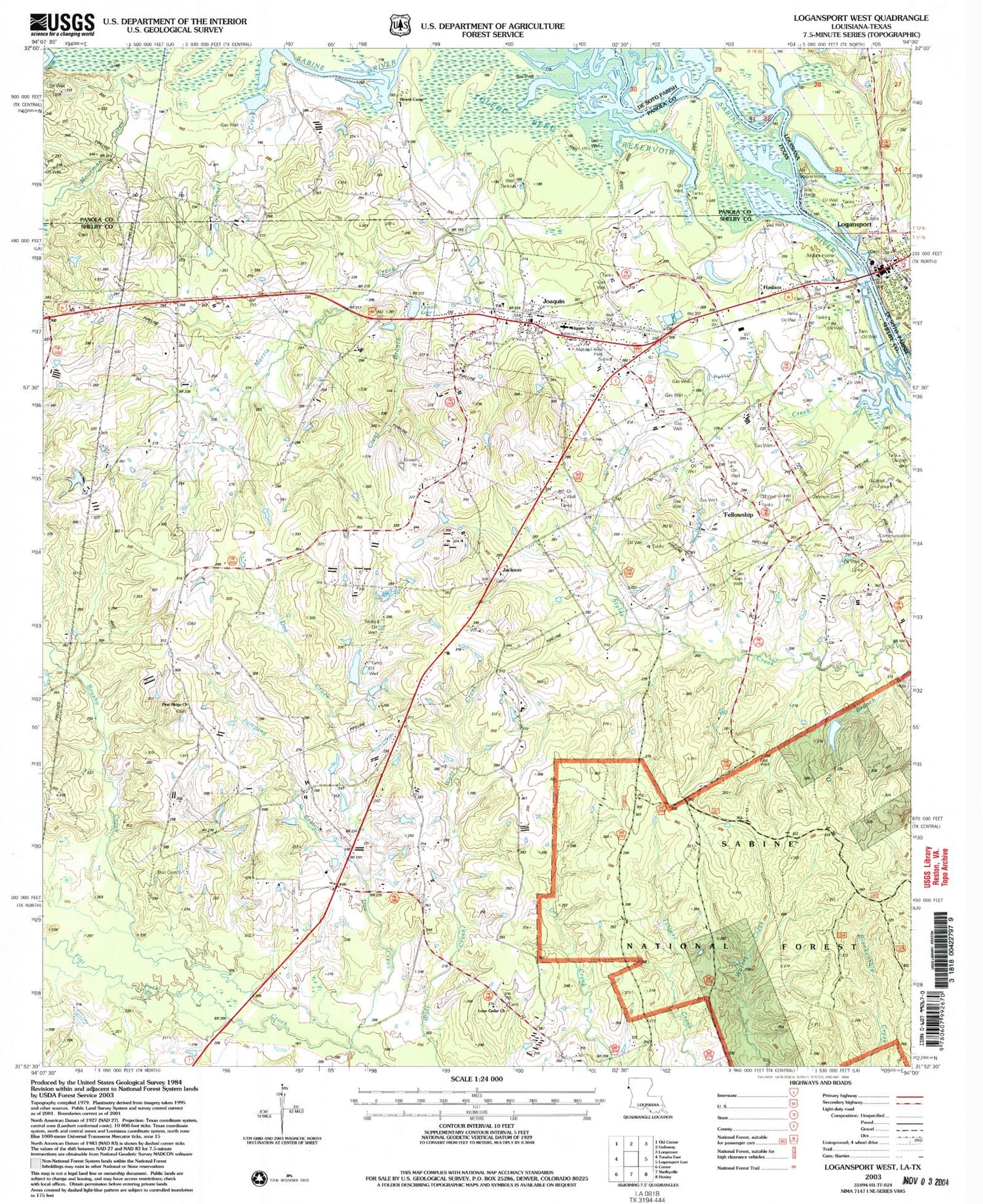
Classic USGS Logansport West Louisiana 7.5'x7.5' Topo Map
Couldn't load pickup availability
Historical USGS topographic quad map of Logansport West in the states of Louisiana, Texas. Map scale may vary for some years, but is generally around 1:24,000. Print size is approximately 24" x 27"
This quadrangle is in the following counties: De Soto, Panola, Shelby.
The map contains contour lines, roads, rivers, towns, and lakes. Printed on high-quality waterproof paper with UV fade-resistant inks, and shipped rolled.
Contains the following named places: Brushy Creek, Cedar Branch, City of Joaquin, Connell Creek, Crystal Lake, Crystal Lake Dam, De Soto Fire District 1, Doe Creek, Family Worship Center, Fellowship, First United Methodist Church, Haslam, Hewitt Camp, Jackson, Joaquin, Joaquin City Hall, Joaquin Post Office, Joaquin Volunteer Fire Department, Johnson Cemetery, Jumping Branch Creek, Logansport Town Police Department, Lone Cedar Church, Morris Creek, Ox Branch, Pine Ridge Church, Tenaha-Joaquin Division, Truitt Cemetery, Whiddon Lake Dam, ZIP Code: 75954