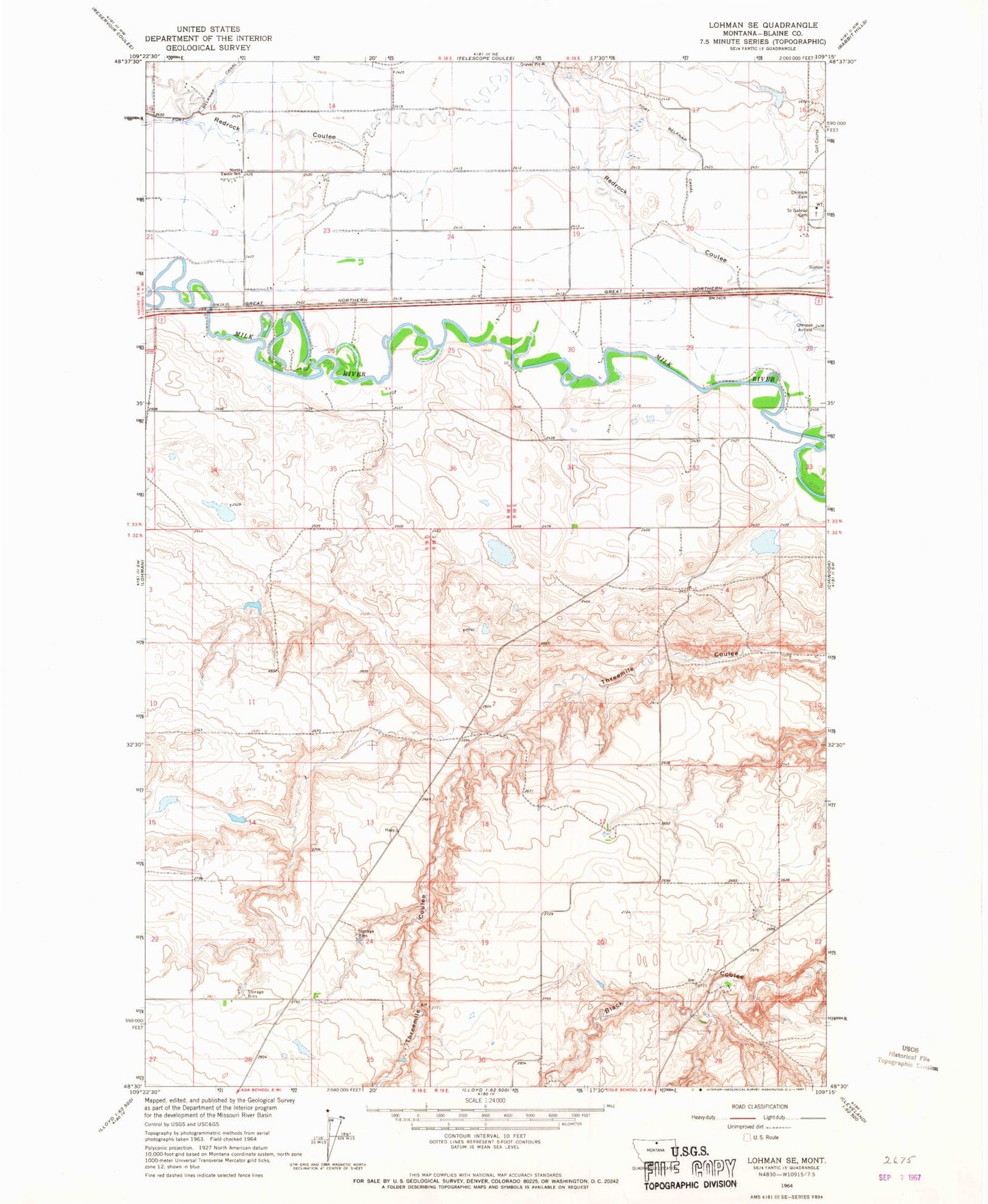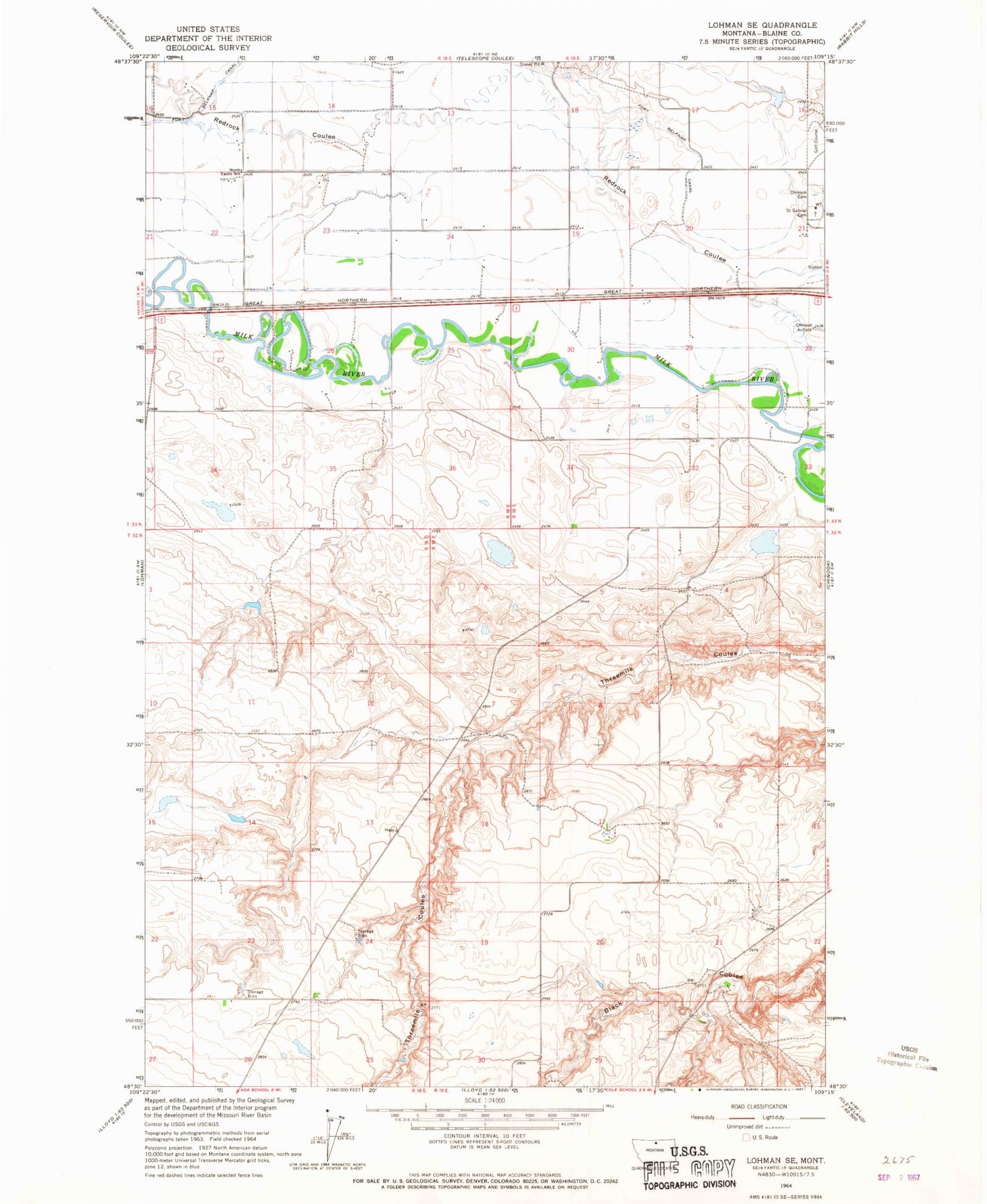
MyTopo
Classic USGS Lohman SE Montana 7.5'x7.5' Topo Map
Regular price
$16.95
Regular price
Sale price
$16.95
Unit price
per
Couldn't load pickup availability
Historical USGS topographic quad map of Lohman SE in the state of Montana. Map scale may vary for some years, but is generally around 1:24,000. Print size is approximately 24" x 27"
This quadrangle is in the following counties: Blaine.
The map contains contour lines, roads, rivers, towns, and lakes. Printed on high-quality waterproof paper with UV fade-resistant inks, and shipped rolled.
Contains the following named places: 33N18E14DAAC01 Well, Adams, Belknap Post Office, Belknap School, Epstlon Dam, Fort Belknap, Kuper Memorial Cemetery, Maddox Ranch Corporation Number 1 Dam, Montana State University - Northern, Saint Gabriel Cemetery, South Yantic School