MyTopo
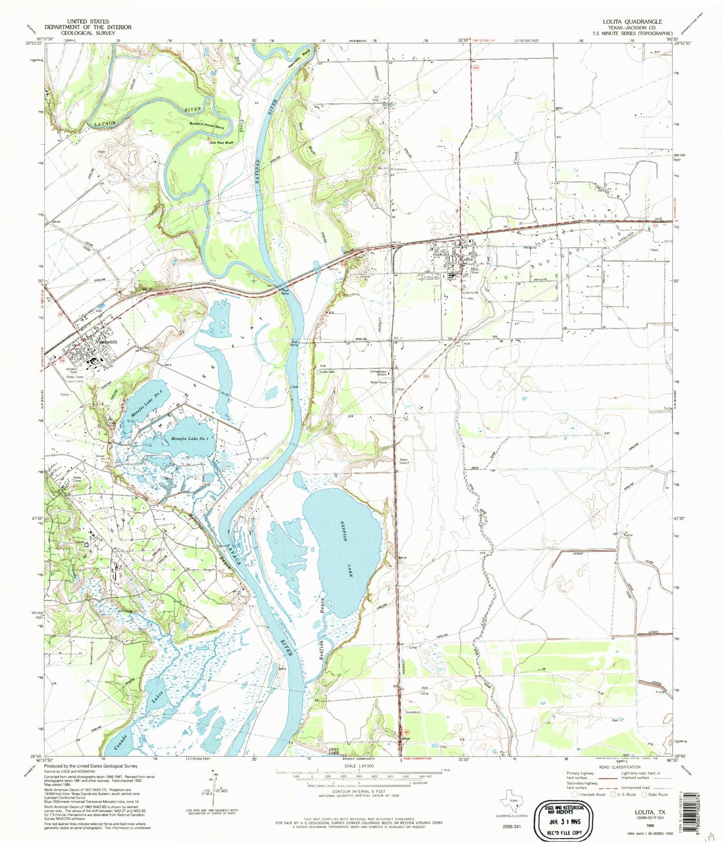
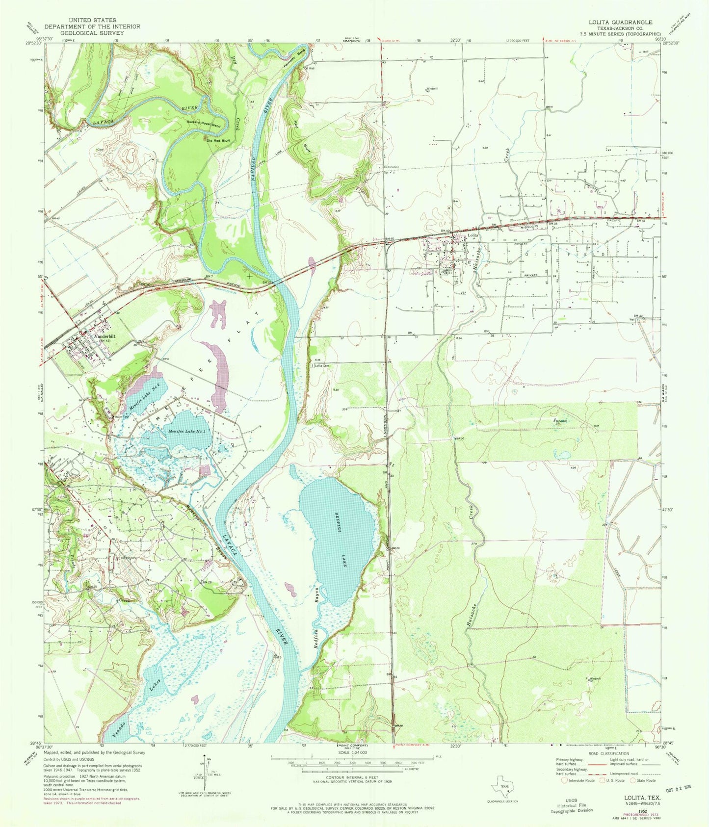
Classic USGS Lolita Texas 7.5'x7.5' Topo Map
Couldn't load pickup availability
Historical USGS topographic quad map of Lolita in the state of Texas. Map scale may vary for some years, but is generally around 1:24,000. Print size is approximately 24" x 27"
This quadrangle is in the following counties: Jackson.
The map contains contour lines, roads, rivers, towns, and lakes. Printed on high-quality waterproof paper with UV fade-resistant inks, and shipped rolled.
Contains the following named places: Buzzard Roost Bend, Dry Creek, Industrial High School, Industrial Junior High School, KAVU-TV (Victoria), Lolita, Lolita Cemetery, Lolita Census Designated Place, Lolita Post Office, Lolita Volunteer Fire Department and Emergency Medical Services, Menefee Bayou, Menefee Flat, Menefee Lake Number One, Menefee Lake Number Two, Navidad River, Old Red Bluff, Palmetto Bend, Red Bluff, Redfish Bayou, Redfish Lake, Vanderbilt, Vanderbilt Census Designated Place, Vanderbilt Elementary School, Vanderbilt Post Office, Vanderbilt Volunteer Fire Department, Venado Creek, ZIP Codes: 77971, 77991