MyTopo
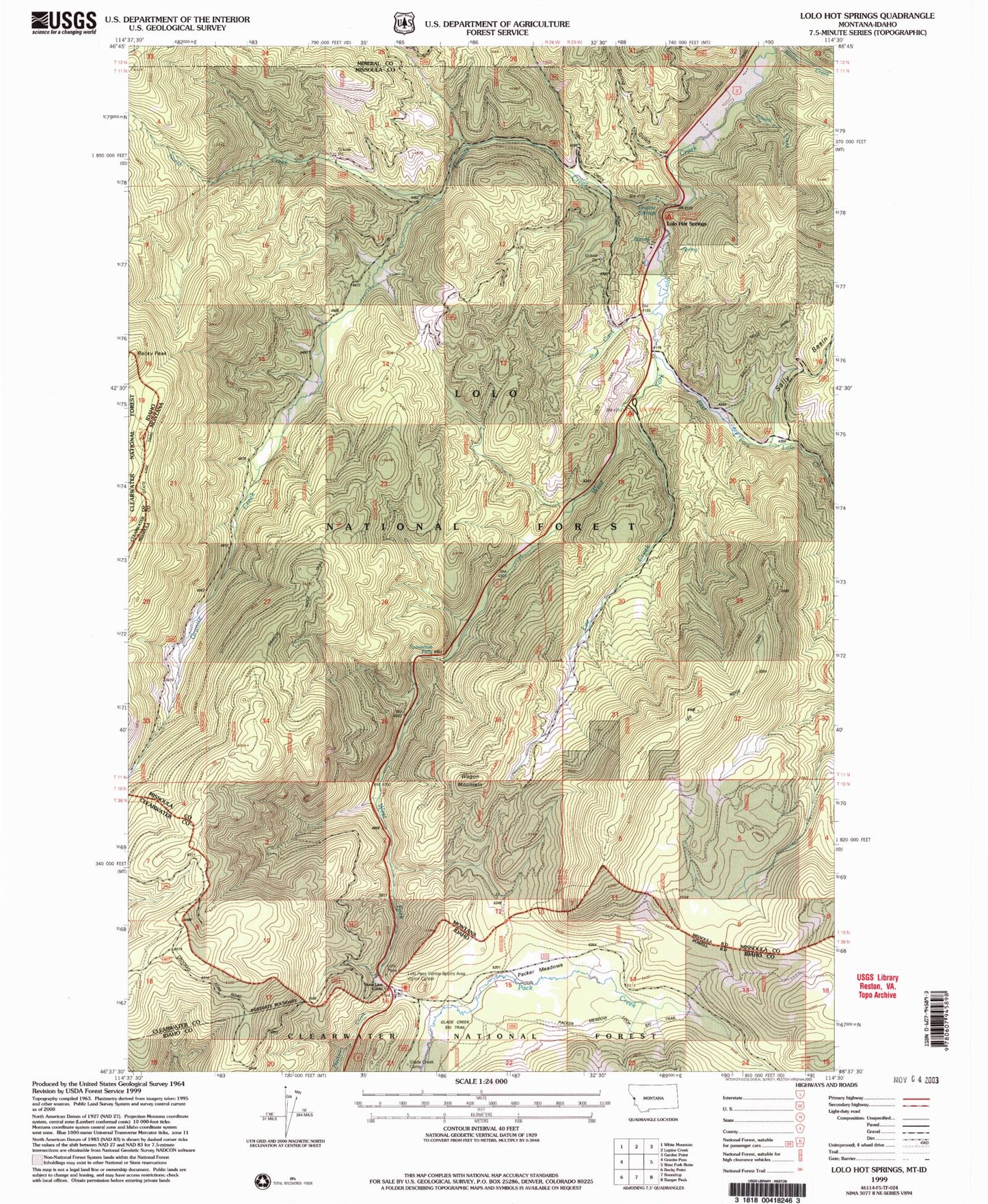
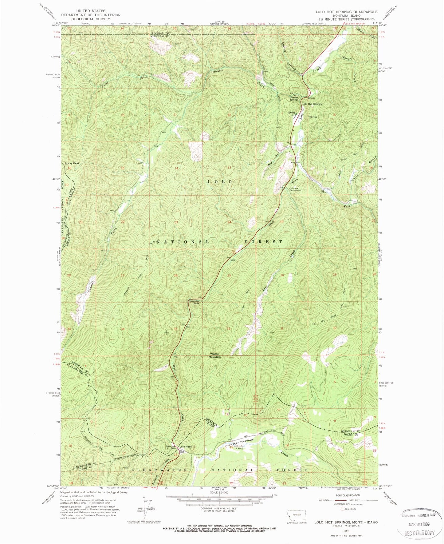
Classic USGS Lolo Hot Springs Montana 7.5'x7.5' Topo Map
Couldn't load pickup availability
Historical USGS topographic quad map of Lolo Hot Springs in the states of Montana, Idaho. Map scale may vary for some years, but is generally around 1:24,000. Print size is approximately 24" x 27"
This quadrangle is in the following counties: Clearwater, Idaho, Mineral, Missoula.
The map contains contour lines, roads, rivers, towns, and lakes. Printed on high-quality waterproof paper with UV fade-resistant inks, and shipped rolled.
Contains the following named places: East Fork Lolo Creek, Granite Creek, Granite Ridge Trail, Granite Springs, Lee Creek, Lee Creek Campground, Lee Ridge Trail, Lolo Hot Springs, Lolo Hot Springs Post Office, Lolo Pass, Lolo Pass Ski Area, Lolo Pass Winter Sports Area and Visitor Center, Lolo Trail, Mud Creek, North Creek, Packer Meadows, Powell Creek, Rocky Peak, Sally Basin, Snowshoe Falls, Spring Gulch, State Line Cabin, Wagon Mountain, West Fork Lolo Creek