MyTopo
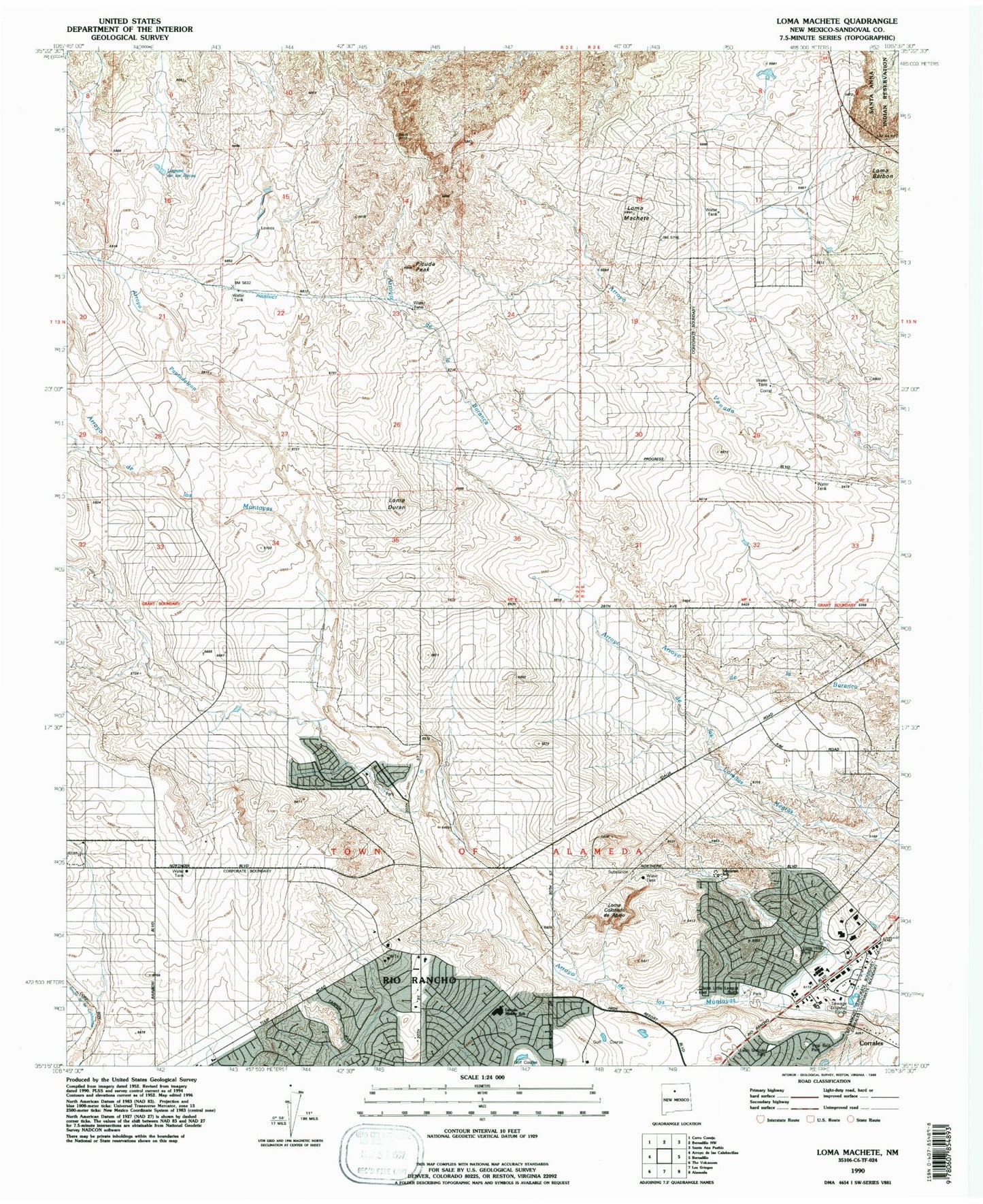
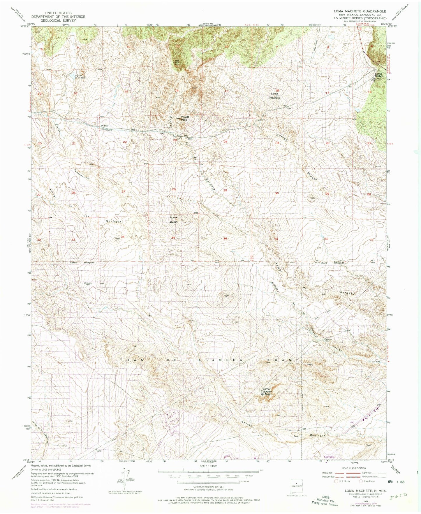
Classic USGS Loma Machete New Mexico 7.5'x7.5' Topo Map
Couldn't load pickup availability
Historical USGS topographic quad map of Loma Machete in the state of New Mexico. Typical map scale is 1:24,000, but may vary for certain years, if available. Print size: 24" x 27"
This quadrangle is in the following counties: Sandoval.
The map contains contour lines, roads, rivers, towns, and lakes. Printed on high-quality waterproof paper with UV fade-resistant inks, and shipped rolled.
Contains the following named places: Picuda Peak, Arroyo Pantadeleon, Laguna de las Bacas, Loma Machete, Loma Colorado de Abajo, Loma Duran, Loma Barbon, Enchanted Hills Elementary School, Prices Dairy Airport (historical), Vista Hills Park, Leon Grande Park, Veja Baja Park, City of Rio Rancho, Rio Rancho Fire and Rescue Station 2, Presbyterian Medical Group Outpatient Clinic, Rio Rancho Fire and Rescue Station Number 7, Rio Rancho Police Department, University of New Mexico Sandoval Regional Medical Center