MyTopo
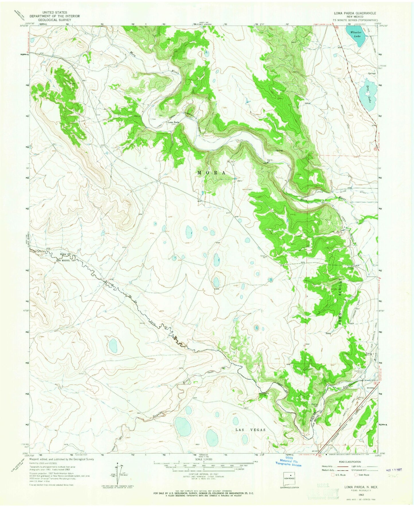
Classic USGS Loma Parda New Mexico 7.5'x7.5' Topo Map
Couldn't load pickup availability
Historical USGS topographic quad map of Loma Parda in the state of New Mexico. Map scale may vary for some years, but is generally around 1:24,000. Print size is approximately 24" x 27"
This quadrangle is in the following counties: Mora, San Miguel.
The map contains contour lines, roads, rivers, towns, and lakes. Printed on high-quality waterproof paper with UV fade-resistant inks, and shipped rolled.
Contains the following named places: Arroyo Jara, Dry Lake, Fort Union Corral, Jones, Kroenig Cemetery, Loma Parda, Loma Parda Community Ditch, Loma Parda Post Office, Low, Martinez, Rio Mora National Wildlife Refuge and Conservation Area, Upper Clyde Ditch, Upper Phoenix Ditch, Watrous Cemetery, Wheeler Lake