MyTopo
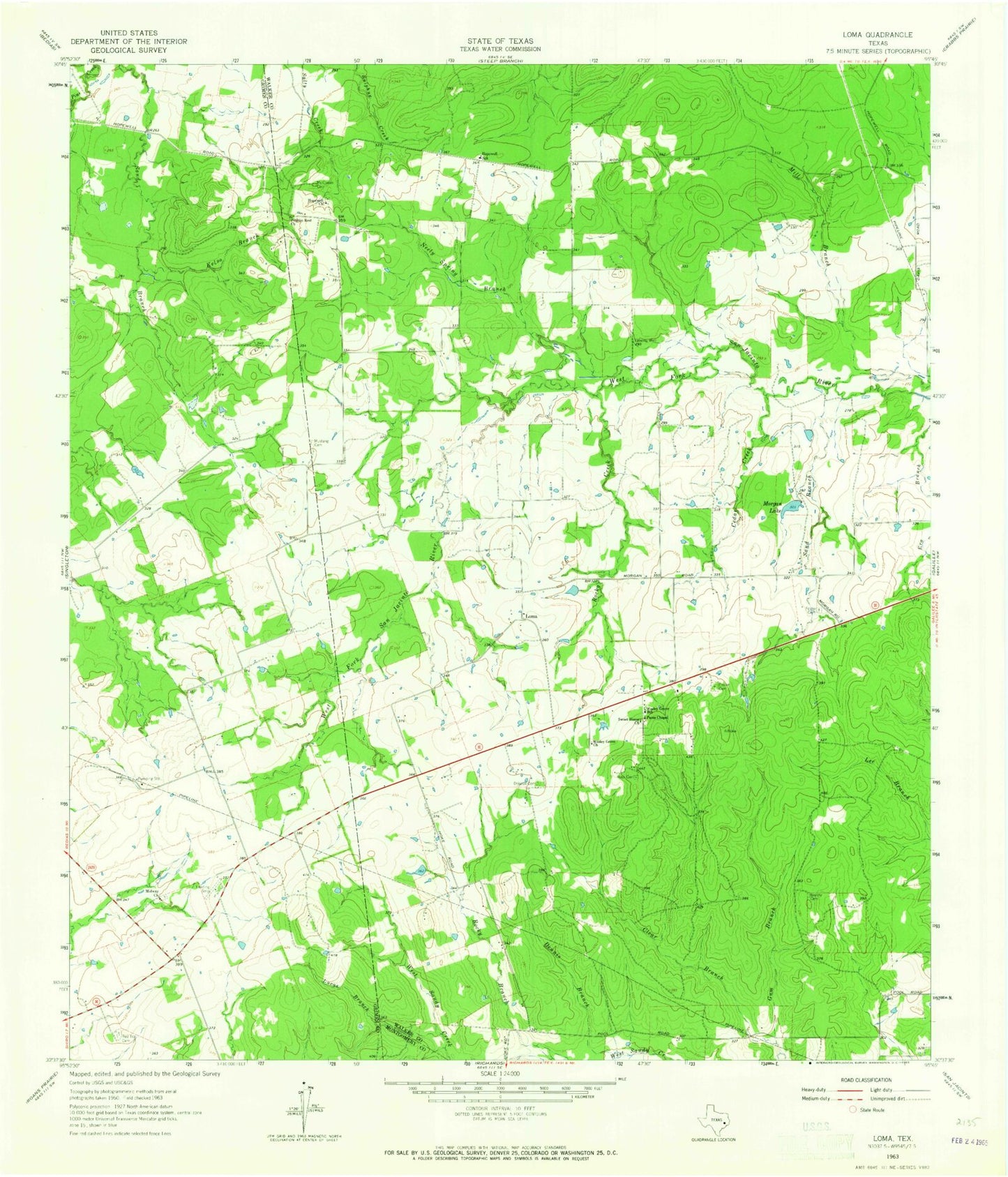
Classic USGS Loma Texas 7.5'x7.5' Topo Map
Couldn't load pickup availability
Historical USGS topographic quad map of Loma in the state of Texas. Map scale may vary for some years, but is generally around 1:24,000. Print size is approximately 24" x 27"
This quadrangle is in the following counties: Grimes, Montgomery, Walker.
The map contains contour lines, roads, rivers, towns, and lakes. Printed on high-quality waterproof paper with UV fade-resistant inks, and shipped rolled.
Contains the following named places: Brushy Cemetery, Cedar Creek, Dennis Branch, Driscoll Cemetery, Duke Lake, Duke Lake Dam, Foster Cemetery, Gum Branch, Hopewell Church, Hopewell School, Kelso Branch, Loma, Lucas Branch, McCowan Cemetery, Midway Church, Mill Branch, Morgan Lake, Morgan South Lake, Morgan South Lake Dam, Mustang Cemetery, Neely Spring Branch, Paces Chapel, Pilgrim Rest Church, Red Top Cemetery, Rocky Creek, Ross Cemetery, Sand Branch, Sweet Home Church, Wesley Grove, Wesley Grove Church, Wesley Grove School