MyTopo
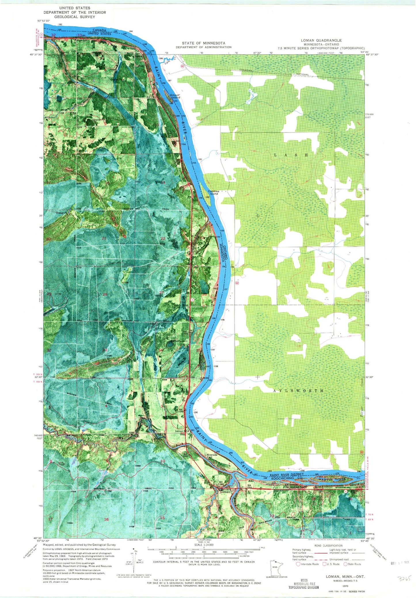
Classic USGS Loman Minnesota 7.5'x7.5' Topo Map
Regular price
$16.95
Regular price
Sale price
$16.95
Unit price
per
Couldn't load pickup availability
Historical USGS topographic quad map of Loman in the state of Minnesota. Map scale may vary for some years, but is generally around 1:24,000. Print size is approximately 24" x 27"
This quadrangle is in the following counties: Koochiching.
The map contains contour lines, roads, rivers, towns, and lakes. Printed on high-quality waterproof paper with UV fade-resistant inks, and shipped rolled.
Contains the following named places: Black River, KBHW-FM (International Falls), Lamon Lookout Tower, Loman, Loman Police Department, Loman Post Office, Loman Rural Fire Department, Loman School, Loman Station, Lomen Wayside Park, Riverside Cemetery, Smoot Island, Watrous Island, West Fork Black River