MyTopo
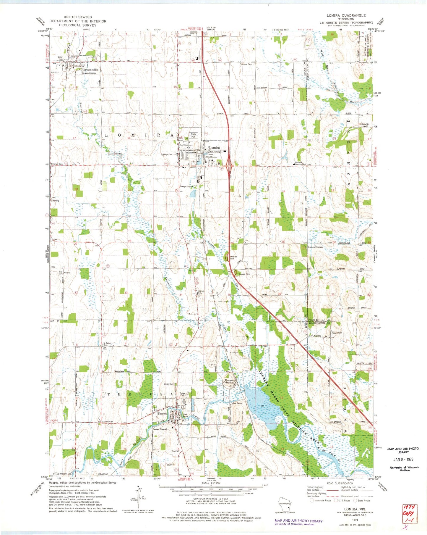
Classic USGS Lomira Wisconsin 7.5'x7.5' Topo Map
Couldn't load pickup availability
Historical USGS topographic quad map of Lomira in the state of Wisconsin. Map scale may vary for some years, but is generally around 1:24,000. Print size is approximately 24" x 27"
This quadrangle is in the following counties: Dodge, Fond du Lac, Washington.
The map contains contour lines, roads, rivers, towns, and lakes. Printed on high-quality waterproof paper with UV fade-resistant inks, and shipped rolled.
Contains the following named places: 144 Reservoir, 53048, Adelmeyer Farms, Beldo Farms, Brownsville, Brownsville Fire Company, Brownsville Police Department, Brownsville Post Office, Brownsville Public Library, Budjon Farms, Camelot Country Club, Centery Farms, Consolidated Catholic School, Crystal Spring, Ebenezer Cemetery, Ebenezer Church, Golden Corners, Gusty Winds Farm, Hickory Grove School, Hilltop Acres, Kummel Creek, Leemar Farms, Lomira, Lomira Creek, Lomira Elementary School, Lomira Fire Department, Lomira High School, Lomira Middle School, Lomira Police Department, Lomira Pond, Lomira Post Office, Mullen School, Ries Pure Breed Hog Farm, Rural Leader School, Saint Gobki Cemetery, Saint Johns Lutheran Church, Saint John's Lutheran School, Saint Marys Catholic Church, Saint Mary's Cemetery, Saint Pauls Lutheran School, Saint Pauls School, Saint Peters Cemetery, Silver Leaf School, Spring Valley Farm, Sterr Park, Theresa, Theresa Ambulance Service, Theresa Elementary School, Theresa Learning Community - Elementary School, Theresa Marsh 2WP2537 Dam, Theresa Marsh State Wildlife Area, Theresa Millpond, Theresa Police Department, Theresa Post Office, Theresa Public Library, Theresa Station, Theresa Volunteer Fire Department, Town of Lomira, Trinity Methodist Church, Union Cemetery, Village of Brownsville, Village of Lomira, Village of Theresa, Wayne Cemetery, WMVM-FM (Mayville), WWRS-AM (Mayville), Zedland Farm


