MyTopo
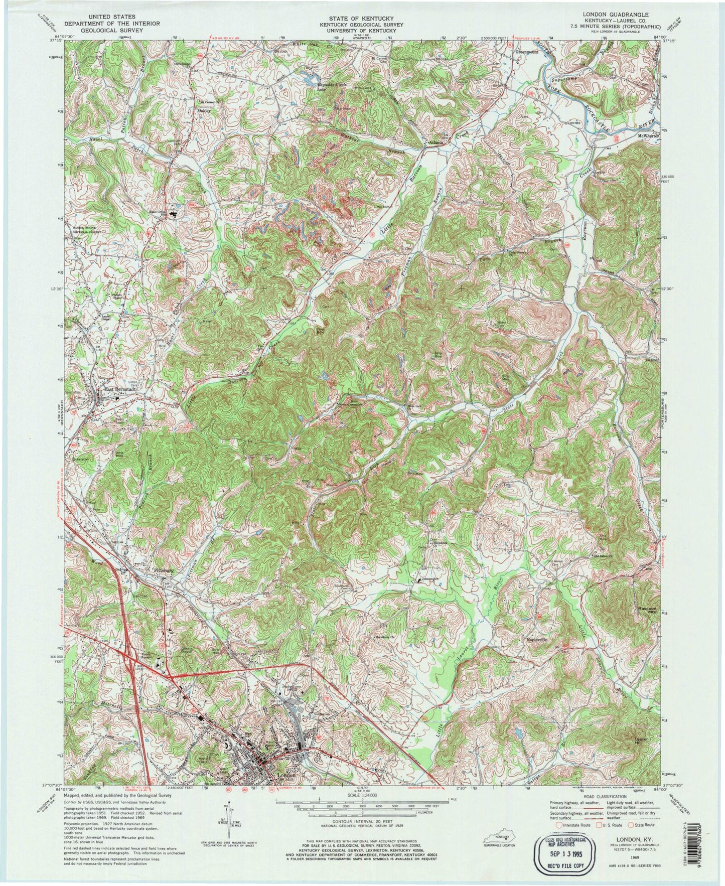
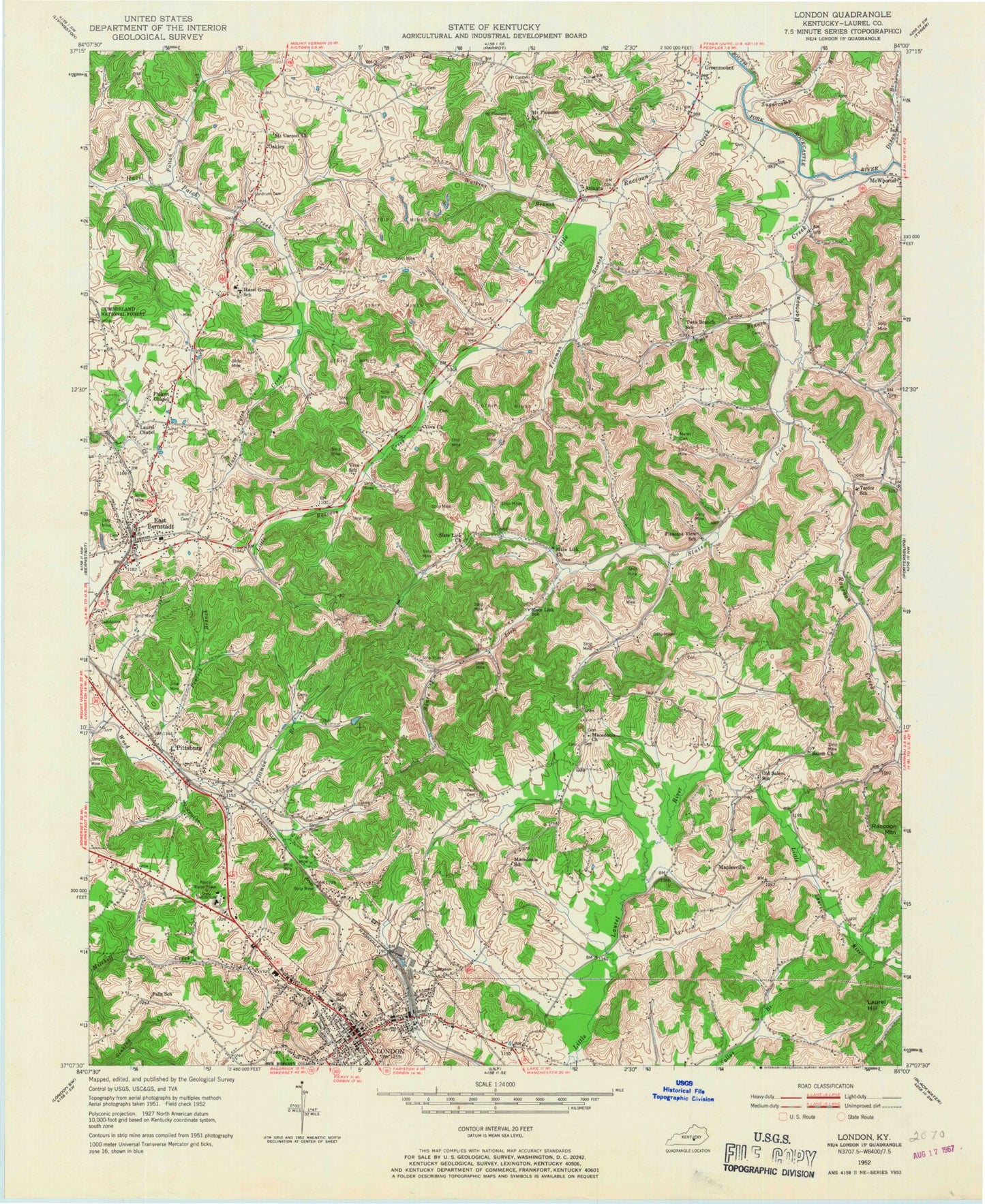
Classic USGS London Kentucky 7.5'x7.5' Topo Map
Couldn't load pickup availability
Historical USGS topographic quad map of London in the state of Kentucky. Map scale may vary for some years, but is generally around 1:24,000. Print size is approximately 24" x 27"
This quadrangle is in the following counties: Laurel.
The map contains contour lines, roads, rivers, towns, and lakes. Printed on high-quality waterproof paper with UV fade-resistant inks, and shipped rolled.
Contains the following named places: Ambulance Incorporated of Laurel County, Atlanta, Atlanta Railroad Station, Balm Sawmill, Balm Store, Bowling Railroad Station, Dalton Railroad Station, Diamond Railroad Station, Dixon Branch, Dog Patch Trading Post, East Bernstadt, East Bernstadt Census Designated Place, East Bernstadt Post Office, East Bernstadt United Methodist Church, Feltners Railroad Station, Freeman Branch, Gem Railroad Station, General Assembly Church, Georges Store, Green Mountain, Greenmount, Greenmount-Langnau Division, Hazel Green School, Jellico-Phoenix Coal Mine, John Woods Blockhouse, Johnson School, Kentucky State Police Post 11, Landrum Cemetery, Laurel County Sheriff's Office, Laurel Hill, Little Raccoon Creek, Litton Cemetery, London, London Chapel Baptist Church, London Police Department, Macedonia Church, Maplesville, McWhorter Volunteer Fire Department Station 1, Metcalfe Railroad Station, Moren Cemetery, Mount Carmel Cemetery, Mount Carmel Christian Church, Mount Pleasant Cemetery, Oakley, Old Salem Cemetery, Old Salem Missionary Baptist Church, Olive-Gilead Church, Patton Branch, Peacock Branch, Philpot Chapel Baptist Church, Pittman Branch, Pittman Railroad Station, Pittsburg, Pittsburg Census Designated Place, Pittsburg Post Office, Raccoon Creek, Reynolds Circle Lake, Richies Orchard, Saint Joseph London Hospital, Slate Lick, Slate Lick Church, Southard Cemetery, Sugarcamp Branch, The Hazel Patch, Twin Branch, Twin Branch Methodist Church, Viva School, Watkins Branch, Wayne Railroad Station, WMAK-AM (London), WWEL-FM (London)


