MyTopo
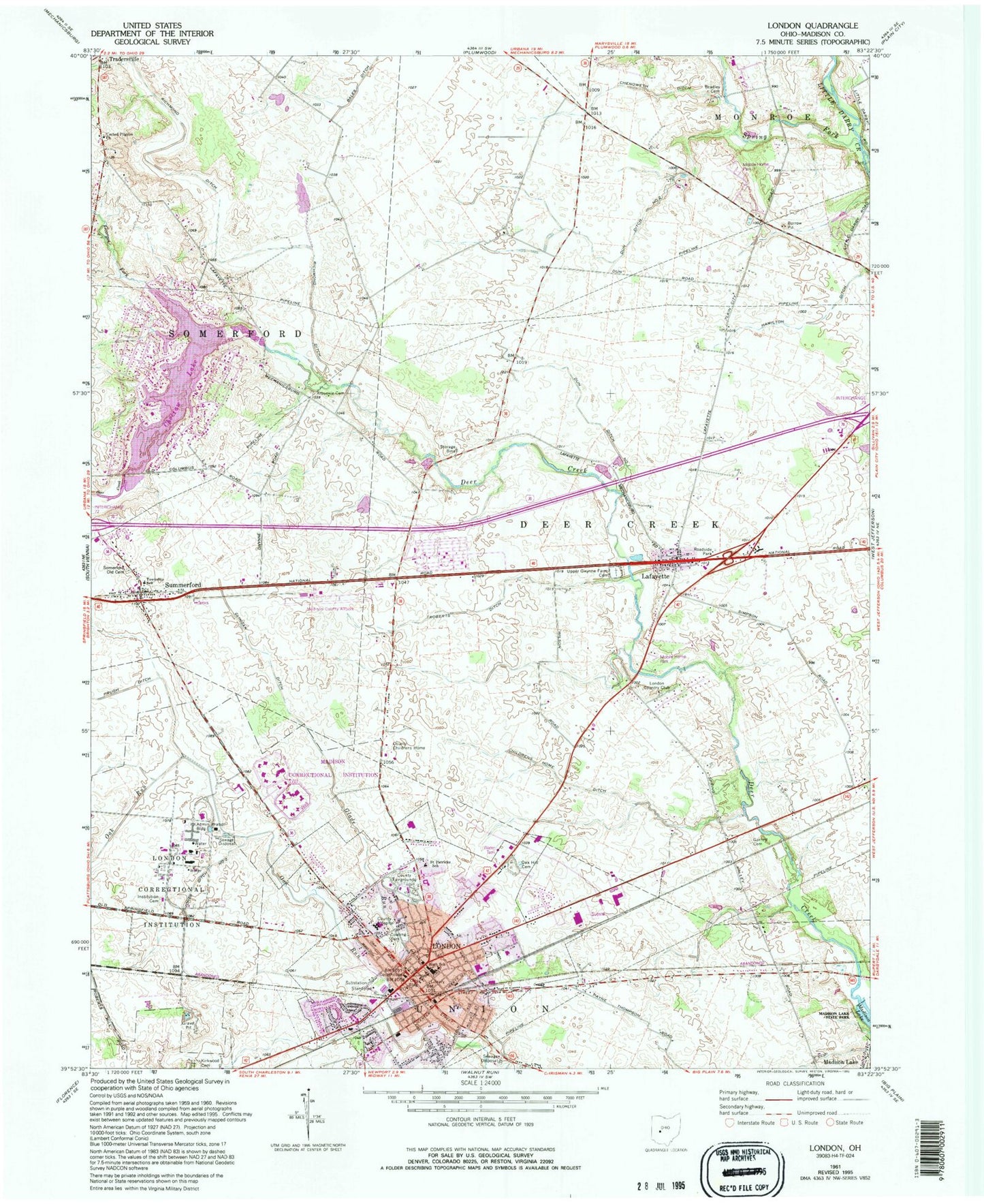
Classic USGS London Ohio 7.5'x7.5' Topo Map
Couldn't load pickup availability
Historical USGS topographic quad map of London in the state of Ohio. Map scale may vary for some years, but is generally around 1:24,000. Print size is approximately 24" x 27"
This quadrangle is in the following counties: Madison.
The map contains contour lines, roads, rivers, towns, and lakes. Printed on high-quality waterproof paper with UV fade-resistant inks, and shipped rolled.
Contains the following named places: Amherst Meadows, Arbuckle Cemetery, Bradley Cemetery, Brooks Edge, Browns Farm, Central Township Fire Department Station 1, Chenoweth Ditch, Chevington Place, Childrens Home Ditch, Choctaw Lake, Choctaw Lake Census Designated Place, Church of Christ in Christian Union, City of London, Clingan Ditch, Cowling Park, Deer Creek Township School, Deer Creek Village, Deercreek Elementary School, Dun Ditch Number 1, Dun Ditch Number 2, Dunn School, Elmhurst, First Baptist Church, First Presbyterian Church, Garrett Cemetery, Georges Fork, Glade Run, Green Meadows Mobile Home Park, Hamilton Ditch, Hyde Park, Institution Cemetery, Jones Ditch Number 2, Lafayette, Lafayette Census Designated Place, Lafayette Post Office, Lafayette United Methodist Church, Lake Choctaw, Lake Choctaw Dam, Lanigan Farms, London, London City Building, London Commercial Business Historic District, London Correctional Institute, London Correctional Institution Administration Building, London Country Club, London Elementary School, London Fire Department, London High School, London Middle School, London Plaza Shopping Center, London Police Department, London Post Office, London Primary School, London Public Library, London Square Shopping Center, London Terrace, Madison Correctional Institute, Madison County, Madison County Airport, Madison County Childrens Home, Madison County Courthouse, Madison County Emergency Medical District, Madison County Fairgrounds, Madison County Law Library, Madison County Sheriff's Office, Madison Health Hospital, Molly Caren Agricultural Center, Oak Hill Cemetery, Ohio Peace Officer Training Academy, Peart Farms, Prugh Ditch, Reninger Farm, Richmond Ditch, Roberts Ditch, Saint Johns Evangelical Lutheran Church, Saint Joseph School, Saint Patricks Roman Catholic Church, Saint Patricks School, Sheffield Commons, Somerford Old Cemetery, Somerford Primary School, Somerford United Methodist Church, Spring Fork, Summerford, Summerford Baptist Church, Tom Farms, Township of Deer Creek, Township of Somerford, Township of Union, Tradersville, Tradersville Post Office, Trinity Episcopal Church, Union School, United Pilgrim Church, Upper Gwynne Farm Cemetery, WCKX-FM (London), Wilson, Witt Farms, ZIP Code: 43140


