MyTopo
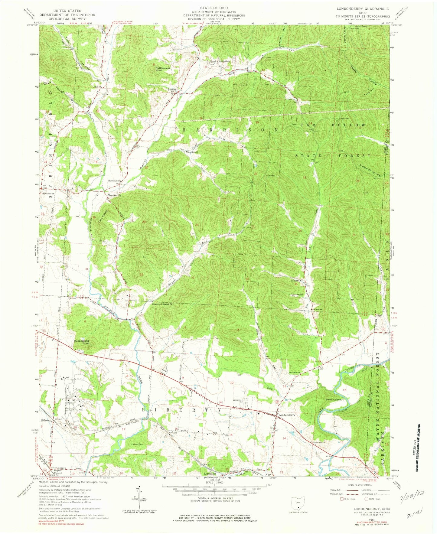
Classic USGS Londonderry Ohio 7.5'x7.5' Topo Map
Couldn't load pickup availability
Historical USGS topographic quad map of Londonderry in the state of Ohio. Typical map scale is 1:24,000, but may vary for certain years, if available. Print size: 24" x 27"
This quadrangle is in the following counties: Ross, Vinton.
The map contains contour lines, roads, rivers, towns, and lakes. Printed on high-quality waterproof paper with UV fade-resistant inks, and shipped rolled.
Contains the following named places: Butcher Hollow, Chapel Creek, Claypool Cemetery, Cox Run, Etam Church, Frog Hollow, Goshen Run, Kingdom of Heaven Church, Londonderry Cemetery, Peecher Cemetery, Spud Run, Spud Run Church, Tar Hollow State Forest, Timmons Cemetery, True Hollow, United Church, Rattlesnake Knob, Rattlesnake Knob, Twin Knobs, Smiths Store (historical), Londonderry Elementary School, Poe Valley (historical), Mount Carmel Church, Charleston (historical), Londonderry, Lickskillet, Rupels, Tucson, Jones Ford, Little Walnut Creek, Point Lookout, Mooresville, Schooley, Bluelick Run, Piny Run, Poe Run, Sugar Run, Cranberry Run, Harrison Elementary School, Township of Harrison, Township of Liberty, Charleston Cemetery, Mount Carmel Cemetery, Schooley Station Cemetery, Schooley Post Office (historical), Londonderry Post Office, Mooresville Post Office (historical), Tucson Post Office (historical), Liberty Township Fire Department, Harrison Township Fire Department


