MyTopo
Classic USGS Lone Butte SE North Dakota 7.5'x7.5' Topo Map
Regular price
$16.95
Regular price
Sale price
$16.95
Unit price
per
Couldn't load pickup availability
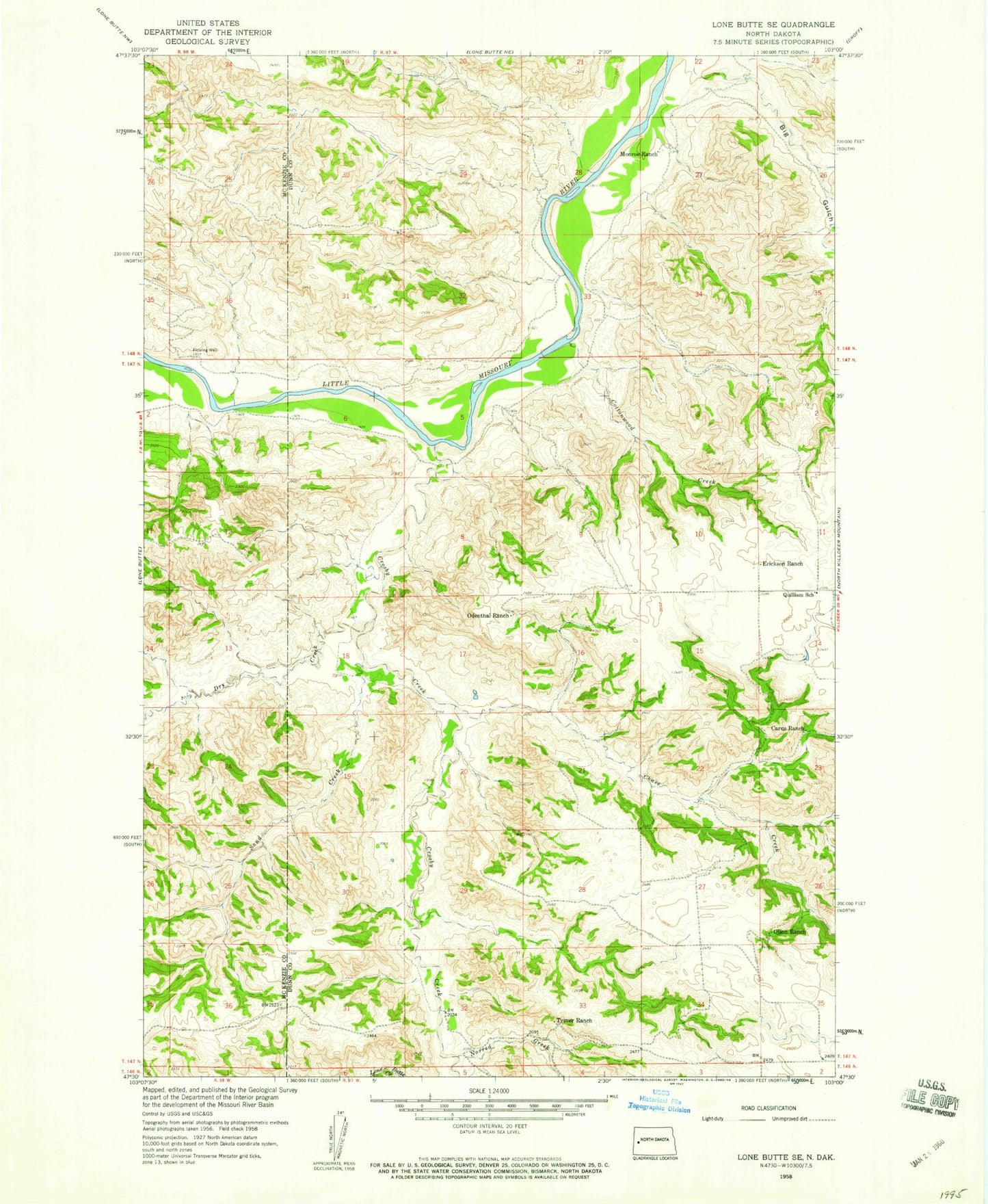
Historical USGS topographic quad map of Lone Butte SE in the state of North Dakota. Map scale may vary for some years, but is generally around 1:24,000. Print size is approximately 24" x 27"
This quadrangle is in the following counties: Dunn, McKenzie.
The map contains contour lines, roads, rivers, towns, and lakes. Printed on high-quality waterproof paper with UV fade-resistant inks, and shipped rolled.
Contains the following named places: Big Gulch, Carus Ranch, Chase Creek, Cottonwood Creek, Crosby Creek, Dry Creek, Erickson Ranch, Lone Butte Oil Field, Monroe Ranch, Norred Creek, Odenthal Ranch, Olson Ranch, Quilliam School, Sand Creek, Tysver Ranch