MyTopo
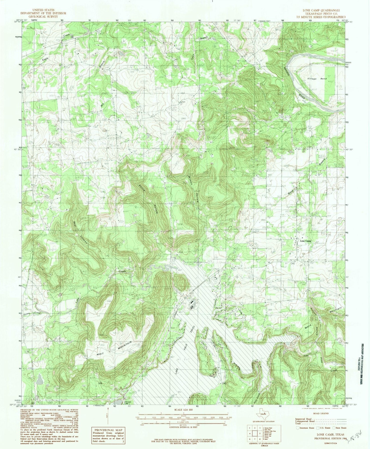
Classic USGS Lone Camp Texas 7.5'x7.5' Topo Map
Couldn't load pickup availability
Historical USGS topographic quad map of Lone Camp in the state of Texas. Map scale may vary for some years, but is generally around 1:24,000. Print size is approximately 24" x 27"
This quadrangle is in the following counties: Palo Pinto.
The map contains contour lines, roads, rivers, towns, and lakes. Printed on high-quality waterproof paper with UV fade-resistant inks, and shipped rolled.
Contains the following named places: Bear Canyon, Gordon Oil Field, Hittson Hollow, Honey Creek, Joes Creek, Johnson Lake, Johnson Lake Dam, Kettle Hollow, Lake Creek, Lake Creek Cemetery, Lake Palo Pinto, Lake Palo Pinto Dam, Lake Palo Pinto Volunteer Fire Department, Lone Camp, Lone Camp Baptist Church, Lone Camp Volunteer Fire Department and First Responders, Palo Pinto Creek Reservoir, Ringo Lake, Ringo Lake Dam, Village Bend, Ward Mountain, Ward Mountain Church, Whit Mountain, Wilson Hollow